
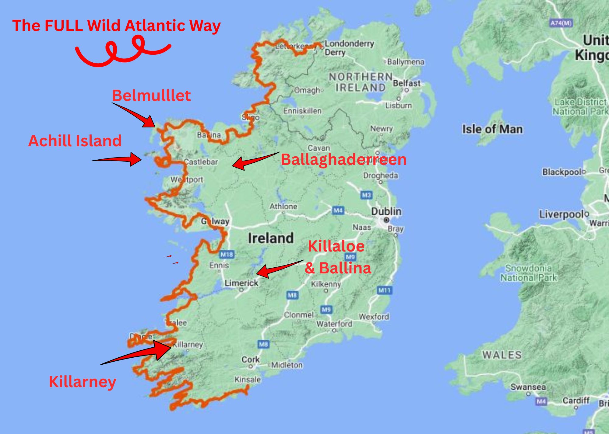
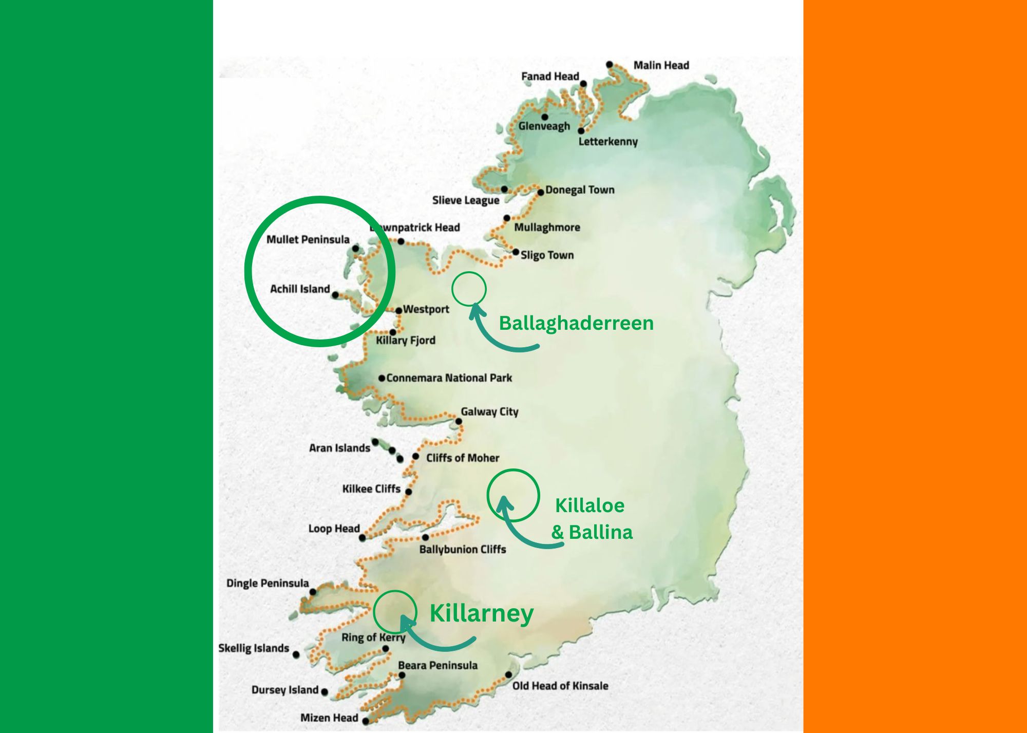
Next days: Exploring Achill Island, Belmullet, Bellaghaderreen, Killaloe, and Killarney
Once again I wish to acknowledge and thank my wonderful friend Shoba Nayar who edits my writing, and whose careful eye and amazing suggestions helps bring alive stories from our travels!
Where in the world are we? Ireland!!
At the end of the last story…
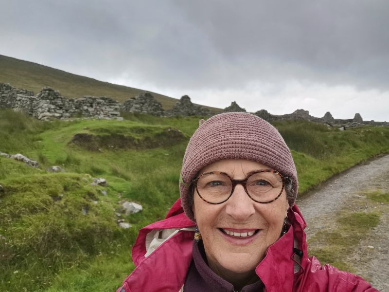
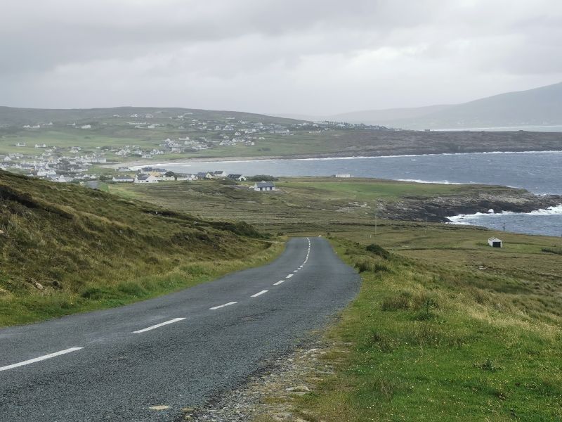
The morning was wet and wild, and the top of Slievemore was covered in mist. The mist lifted as we left the Achill Seal Caves Camping Ground, but light rain persisted as we drove over the hill on our way to Keel on the South side of the island. Taking about 15-20 mins by car, it is usually a scenic drive across the island, but today it was a little misty and slow as we drove over the saddle and observed the expansive vista from the top. From here we will continue a new story in this series—the further adventures on Achill Island, a drive across the barren boggy lands to the settlement of Belmullet – land of the Vikings, the Mullet Peninsula, and much more!
Campervan rented from: https://www.caramotorhomes.ie
Read the previous story here:
https://teresaglobaltravels.com/ireland-eight-days-on-the-wild-atlantic-way-story-2/
Above Keel Bay
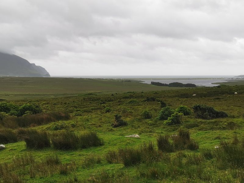
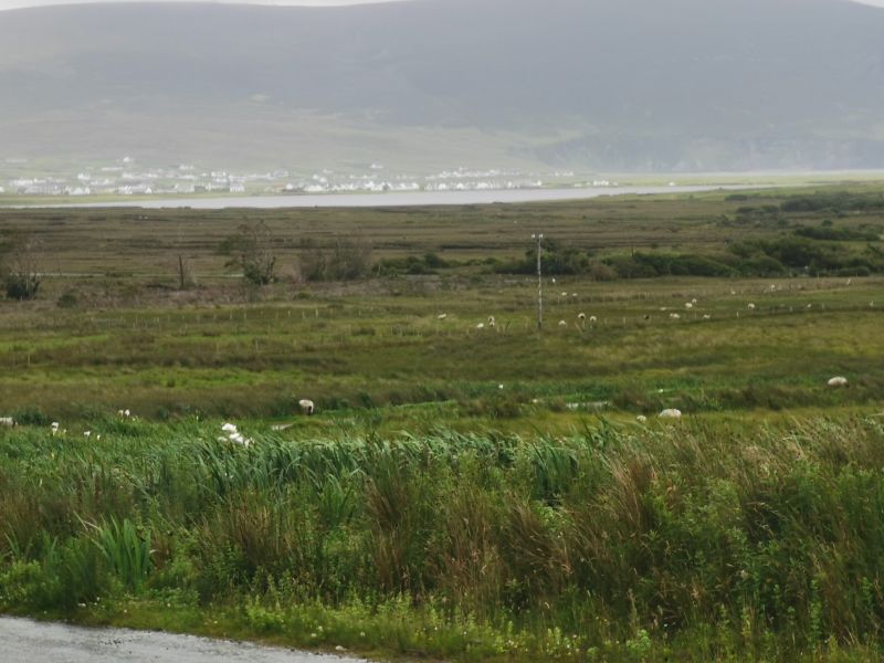
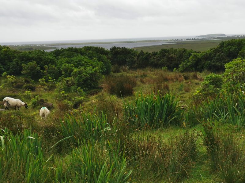
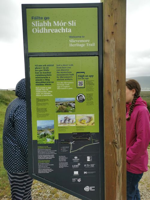
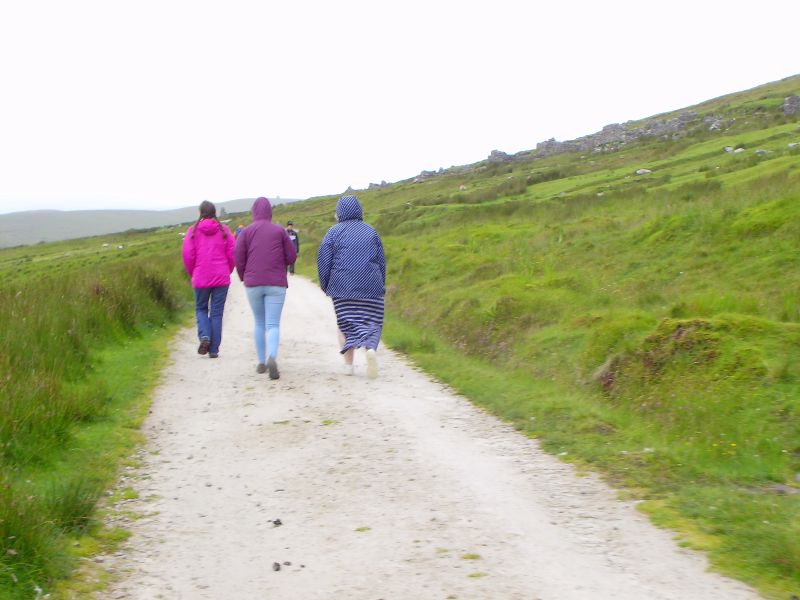
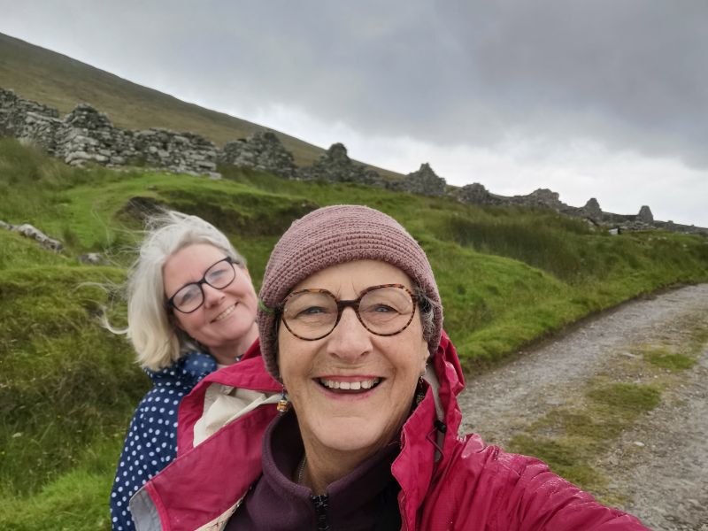
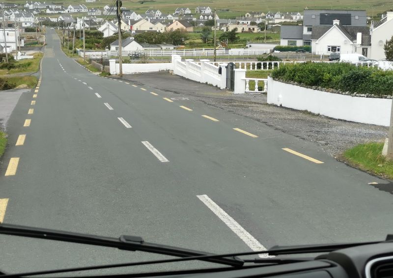
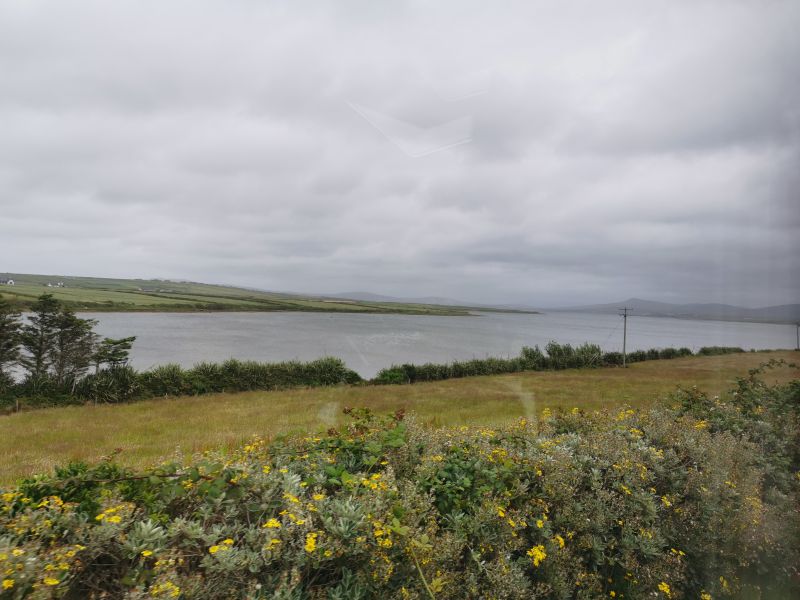
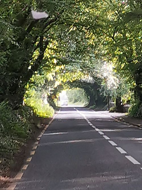
As we drove away from Dugort over the saddle to traverse the high road above Keel and the windswept golden beach, our goal was to explore the Slievemore deserted village and a megalithic tomb.
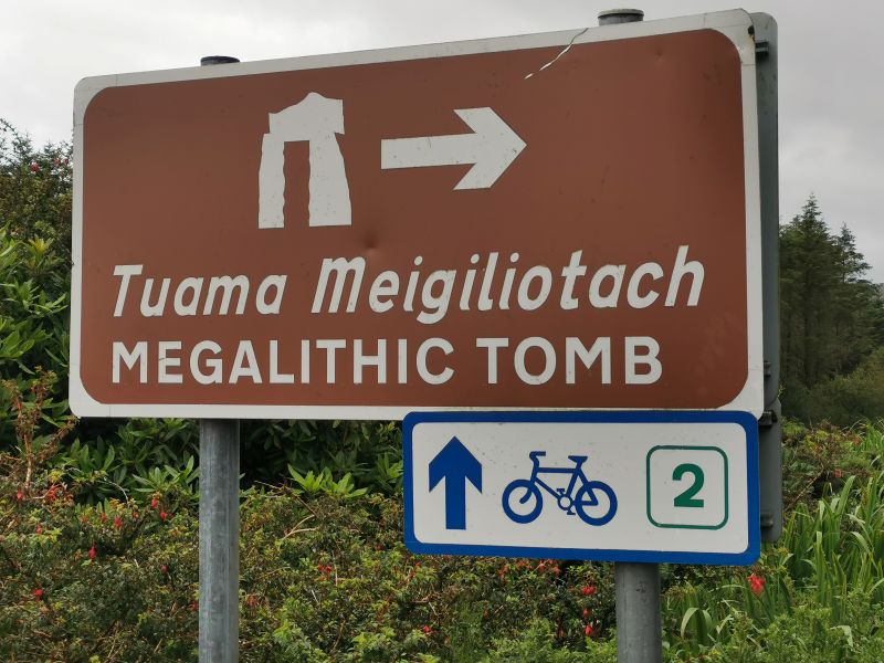
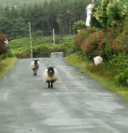
However, as we approached the long straight road up to the tomb at the base of Slievemore, the rain swayed our decision to keep driving. Nevertheless, the view down to the bay was expansive, and we stopped to enjoy the vista and sheep on the road before coming to the track to the deserted village.

Remember to open up the groups of photos to see them fully!

Check out the beach views on:
https://achilltourism.com/experience-achill/beaches/


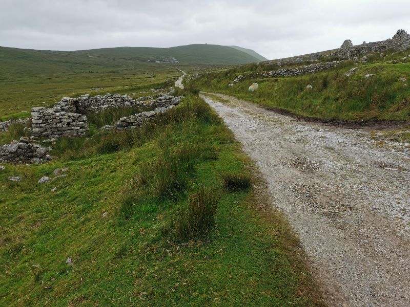
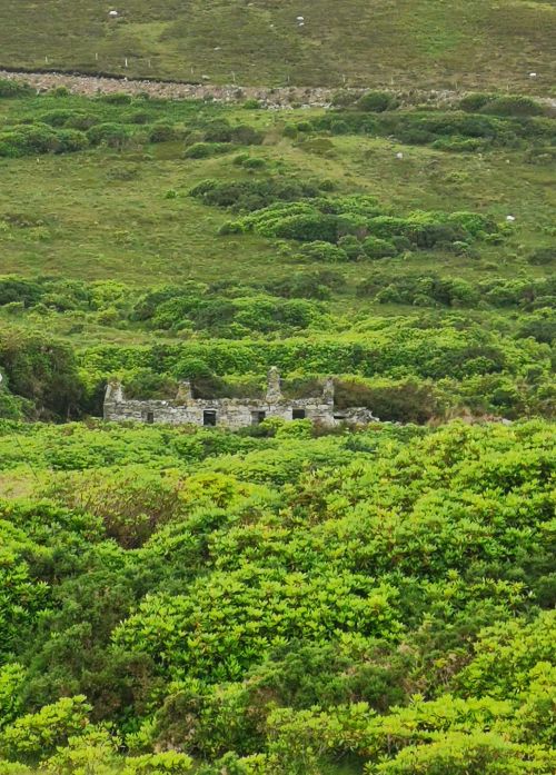
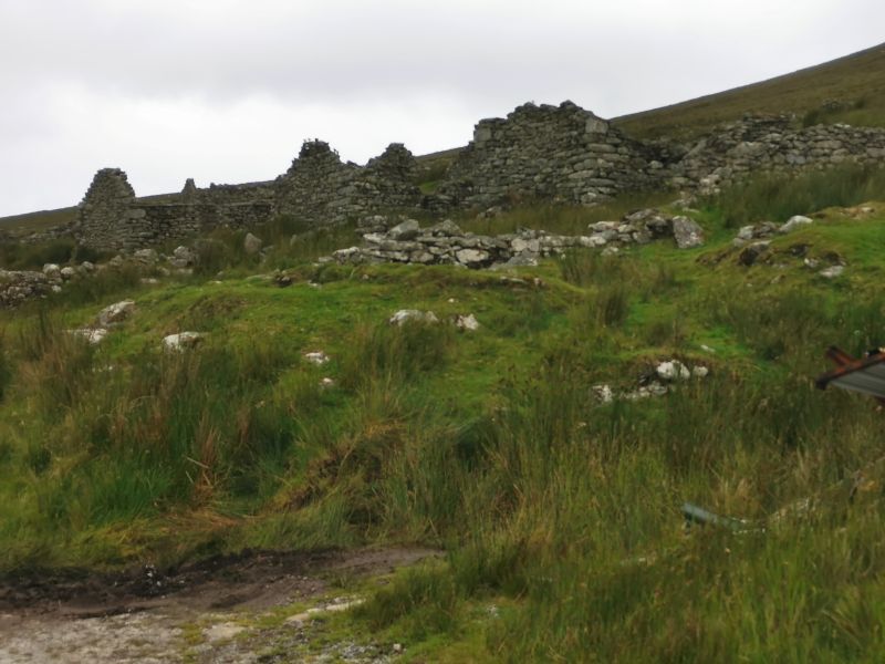
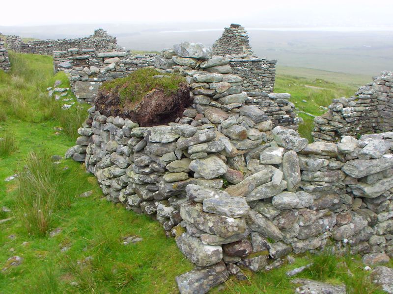
The deserted village on Achill Island
Set high on the hill above the Bay, with a view that was nothing short of stunning, we parked by the large cemetery of old and new graves and set off to explore the village.
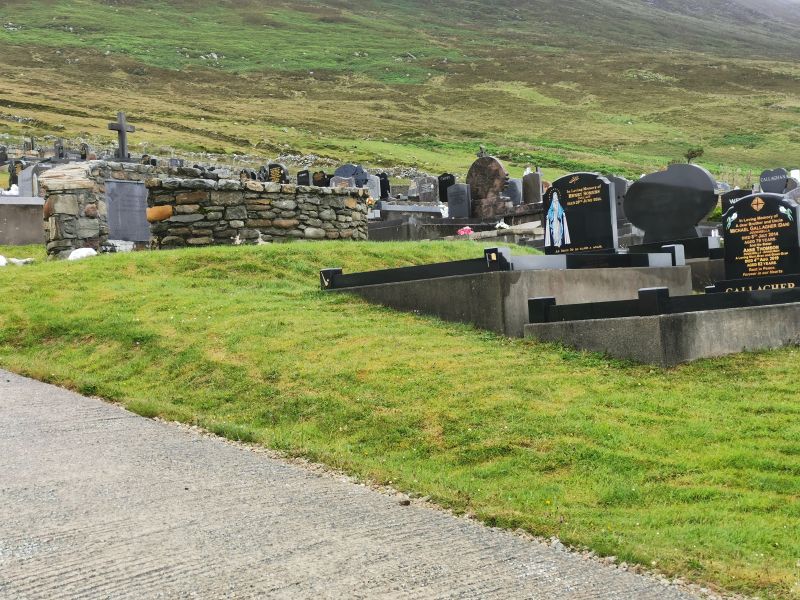
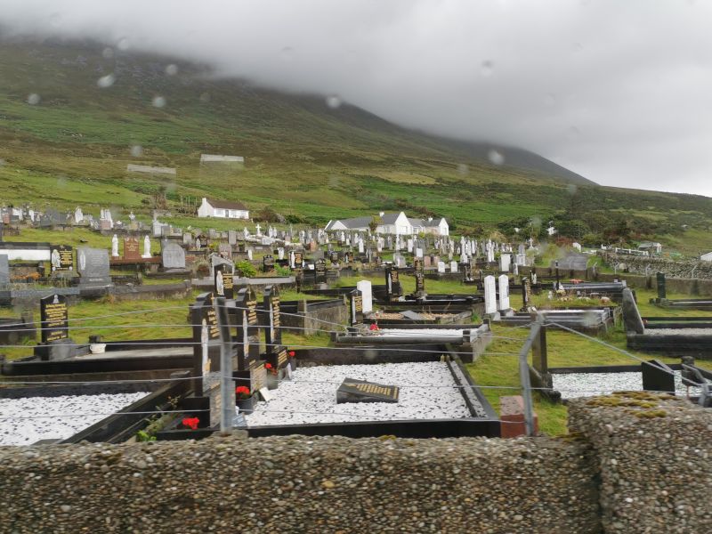
The large well maintained cemetery at the Deserted Village, Achill Island
Wandering among the crumbling houses, I could not help but wonder about the people who had lived here and why it was now deserted. I tried to imagine what it was like in the cold winters and hot summers, living in what would have been an active, living, working, functioning ancient village.
Remember to open up the groups of photos to see them fully!
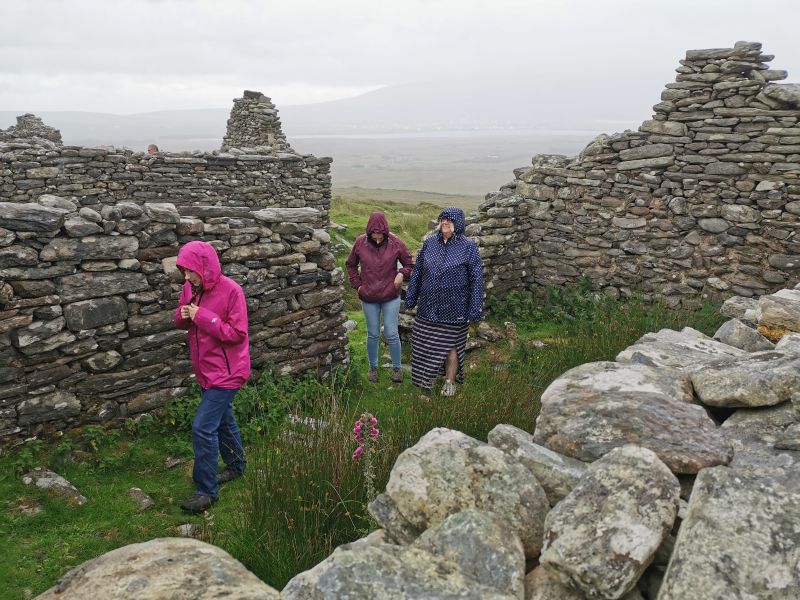
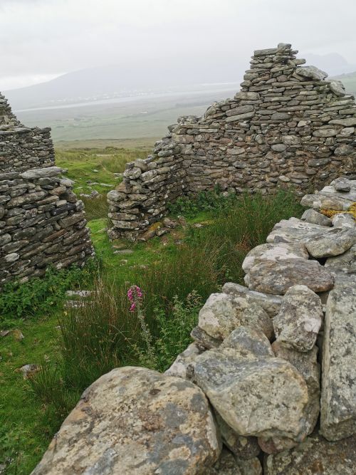
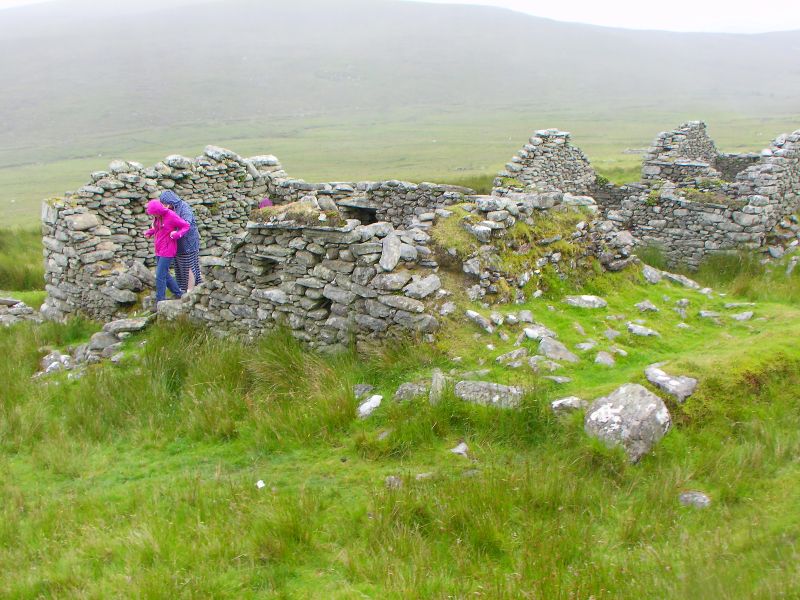
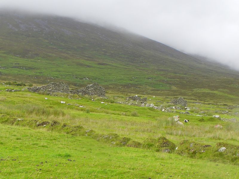
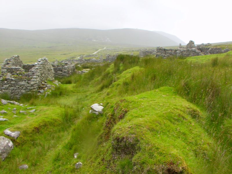
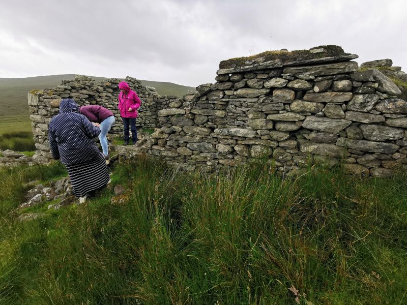
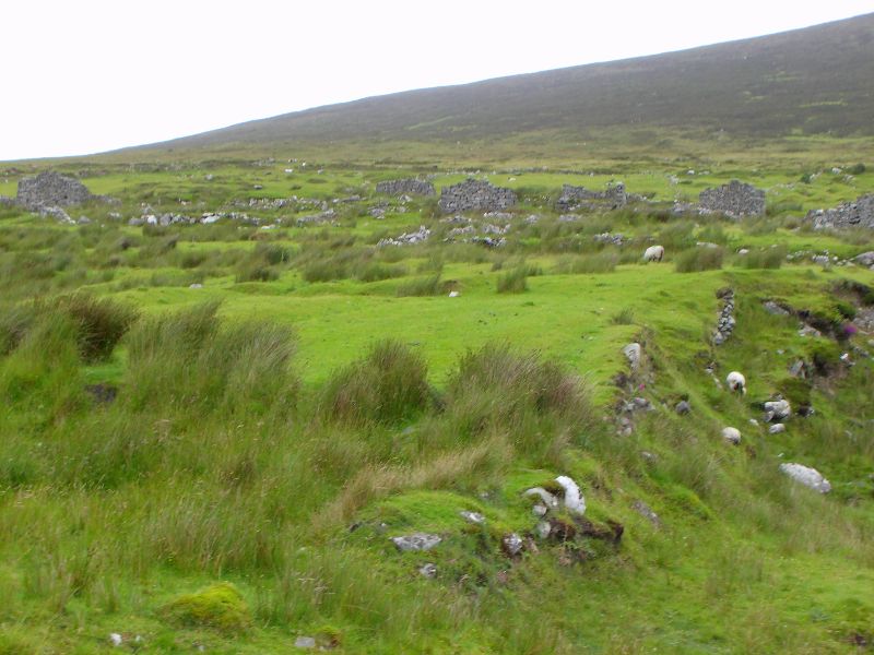
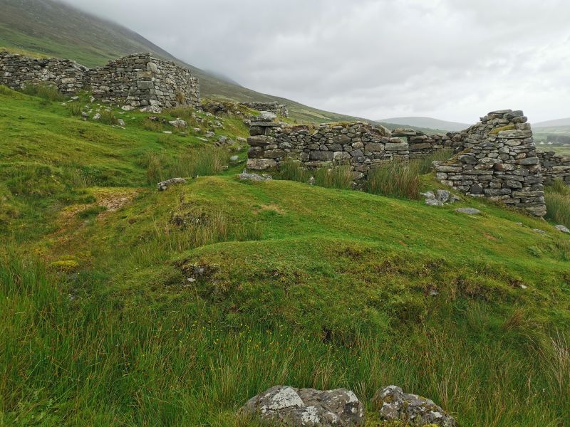
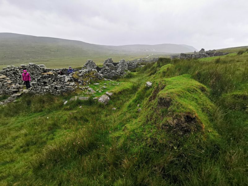
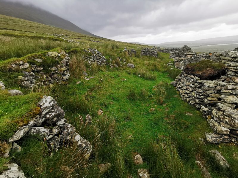
Extending across both sides of the path for about 1.6km (1mi), the collection of approximately 100 deserted and broken houses almost all align in the north-south direction on the very sheltered south slope of Slievemore mountain. Dating back to Anglo-Norman times in the 12th century AD, it has been occupied over various periods, and it is thought some houses may have been built on top of others. The nearby megalithic tomb dates to the 3rd or 4th century BC, and it is thought there was occupation of the area some 5,000 years ago. The village was deserted in the early 20th century after being used for summer cattle grazing (called ‘booley or booleying’). It remained empty in the winter. Summer archaeological schools are held at the village annually.
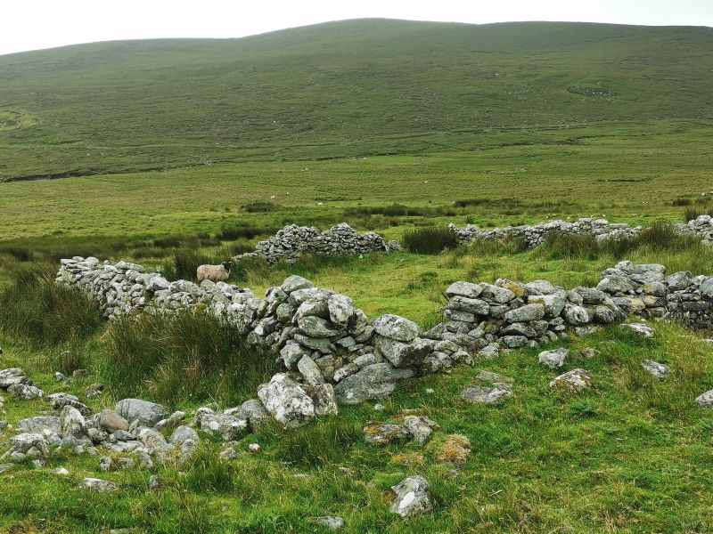
Potato ridges can be seen under top layers of grass and indicate the life that was lived here in ancient times. It is said the village was deserted after the potato famine of 1845-1852, and ancestors of the families live in Keel, Doogah, and the surrounding area. The people from the ‘famine village’, as it was sometimes known, went down to the lowlands where they sought food, fish, and relief from the starvation that killed so many. Others left, emigrating from Ireland, with many ending up in America, England and Scotland, Canada, and Australia, with a number later moving to Aotearoa New Zealand as soldiers or via assisted passage schemes, to become labourers, miners, or domestic servants.
Check out Achill and the deserted village here: http://www.visitachill.com/en/desertedvillage.html
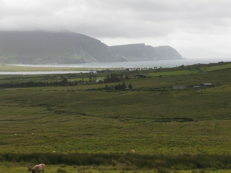
Keel & Keem north side of Achill Island
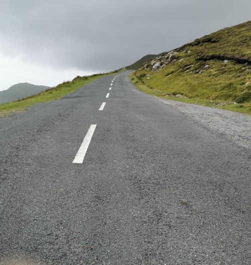
While walking up the road we met a tour guide waiting for her visitors. She suggested we visit Keem Beach, ranked in the top 10 beaches in Europe and top 50 in the world. Secluded, white sand, and clear turquoise water is how the tour guide described it. So we drove down the hill to Keel, turning towards Doogah in the west, where we climbed high up in the wind and rain. Feeling unsafe in the van to venture further, we stopped, turned, and enjoyed the view, perched on a seat in the strong wind, overlooking the bay and the cliffs above the turbulent waters.
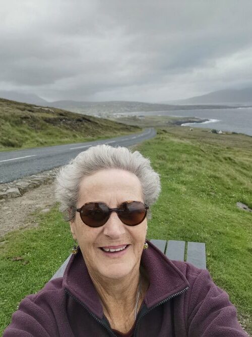
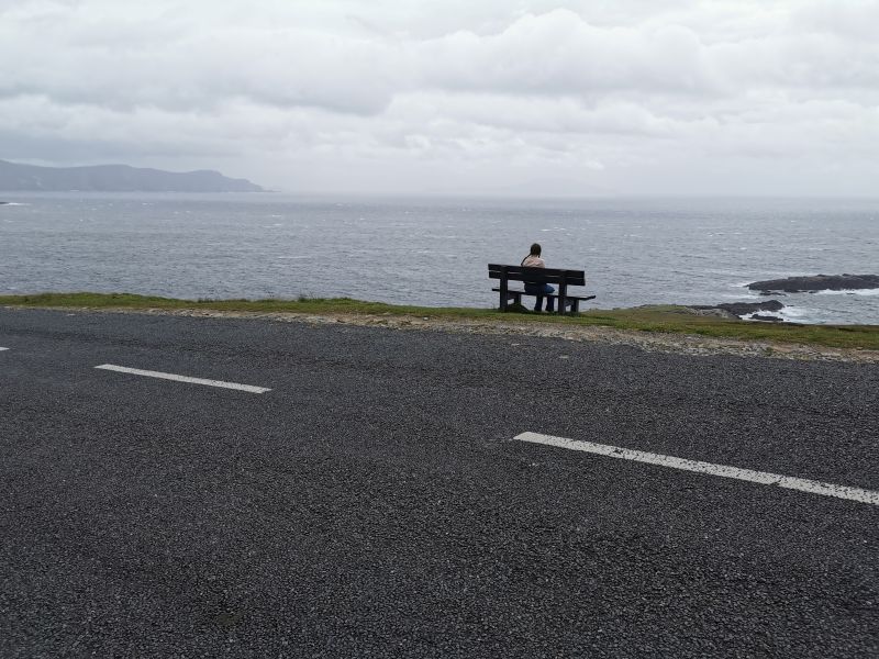
Matilda on the park bench on the windy hill near Keel, Achill Island
Leaving Achill Island
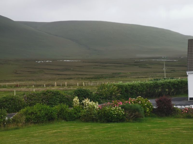
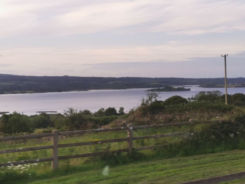
Leaving Keel, we drove back across the open boglands towards Achill Sound, and onto the mainland following the road we had arrived on. At Mulranny (Mullaranny), we took the road north along the seashore and then turned inland towards the Ballycroy visitor centre in the Wild Nephin National Park. Located in the northwest of County Mayo, this area includes the surrounding Beg Mountains and the Bangor Erris Bog, a 150km2 (38,000ac) peat Atlantic blanket bog home to diverse flora and fauna. In the Owenduff River area, which drains the blanket bog system, salmon and sea trout, along with roosting, feeding, and breeding migratory birds, such as the Greenland white-fronted goose, can be found. Other rare species found in the park are the whooper swan and peregrine falcon. The Dark Sky Park in the Wild Nephin is internationally renowned, and the visitor centre at Ballycroy village, overlooking the Atlantic Ocean, is open from mid-March until November.
https://shorturl.at/5iuRi (Wilderness Ireland)
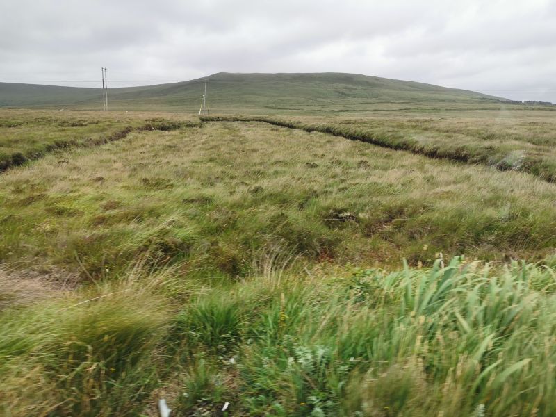
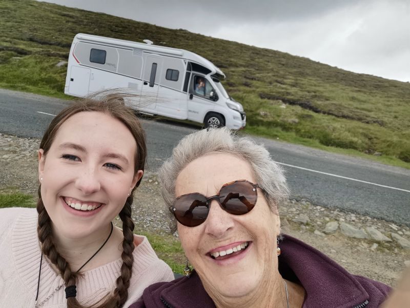
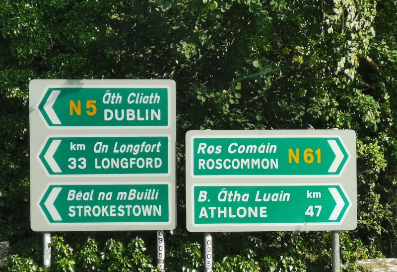
Matilda was intrigued with this area, described as ‘offering profound solitude and untouched, rugged landscape’. As we drove past the rows and rows of bogland fields, with no fences or farmhouses, small bridges, and sheep roaming free, she commented, ‘I have never been in a place where there is nothing, absolutely nothing, before now’. We were all intrigued with this remote, wild area as we drove on to the town of Bangor Erris, where we turned west towards the village of Belmullet at the entrance to the very flat Mullet Peninsula.
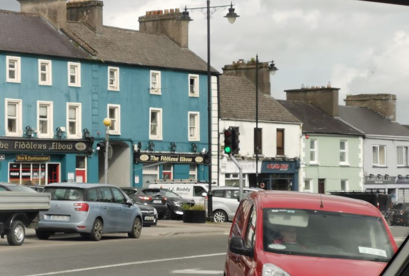
Belmullet and the Mullet Peninsula
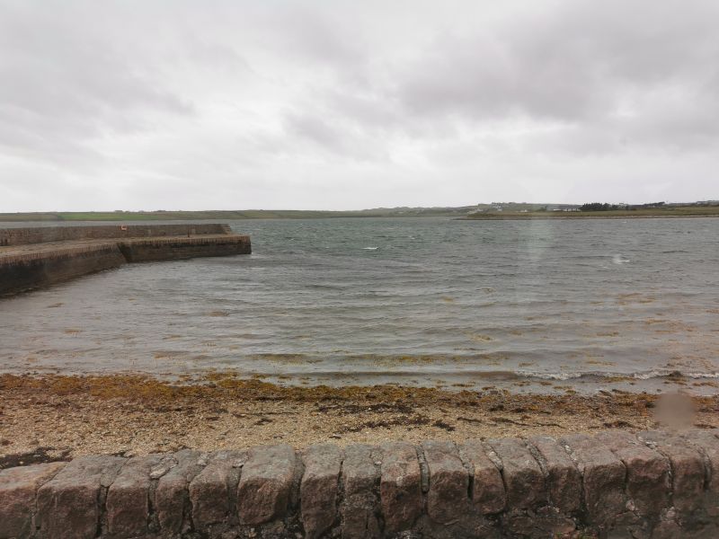
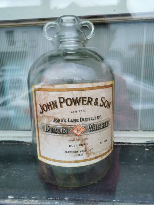
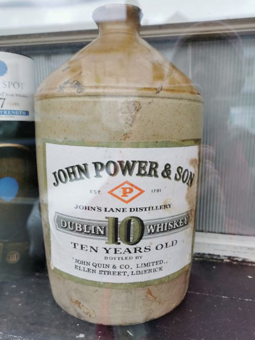
I had read a lot about this Peninsula while trying to find a camping ground. I was intrigued by the history of the 33km (21mi) long and up to 12km (7.5mi) wide region, which is, in places, only 200m wide. The population is less than 4,000, and Irish is commonly spoken. As a tourist destination, the climate is said to be mild with several attractive Blue Flag beaches; sports such as golf, sailing, canoeing, windsurfing, kiting, horse riding, boating ,and fishing to name a few; along with many historical sites. Blacksod Bay, towards the south-eastern end of the island, was the leaving point for many boats taking immigrants to the United States in 1883/84 and has a memorial, lighthouse, and the pier, where fishermen work from, offers a clear view back to Achill Island. The locals say, ‘the next parish over is New York’. Breeding Corncrake (birds) are protected on the peninsula where their main habitat is the grasslands in one of the most westerly points in Europe.
Remember to open up the groups of photos to see them fully!
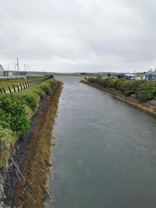
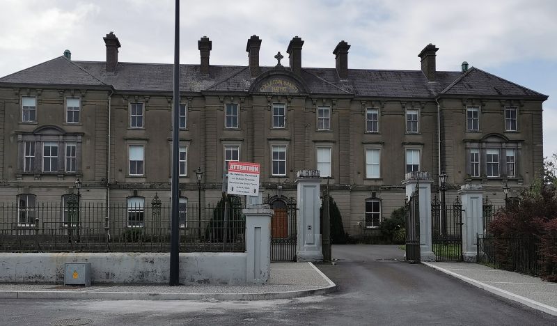
This peninsula, on the Wild Atlantic Way, is easily accessible with the main town of Belmullet at the entrance of a narrow isthmus, a narrow neck of land, with the sea lapping either side and a canal built during the great famine and completed in 1851 which allows boats up to 150,000kg (150t) to pass through the town and avoid navigating around the dangerous, long Mullet Peninsula. This rugged historic landscape experienced extreme hardship during the Great Famine, when the local workhouse held up to 3,000 people. Belmullet (approx.population 1,000) was established in 1800 to facilitate trade, improve maritime navigation, and establish a shortcut between the bays.
The discovery of rural houses or shelters indicated the presence of a small number of Vikings living on Mullet Peninsula and the nearby Inishkea Islands around about the 9th century (807AD), updating previous reports that they had only been present on Ireland’s east coast. Other regional finds include a 9th-century warrior grave along with a sword, shield, spear, and other items made from silver. It is thought that the Vikings were settlers rather than invaders in the West of Ireland, trading and farming in a rugged region, with a fjord-like coastline that would be familiar to settlers from the Norwegian coast. Middens (rubbish heaps) reveal engagement in fishing and farming. According to some historical information I read on the ‘history of Belmullet County Mayo’, farming and the building of monasteries were underway before Stonehenge existed and the pyramids in Egypt were built. It appears that habitation has occurred here for over 5,000 years.
http://www.cara.news.freeservers.com/index_3.html
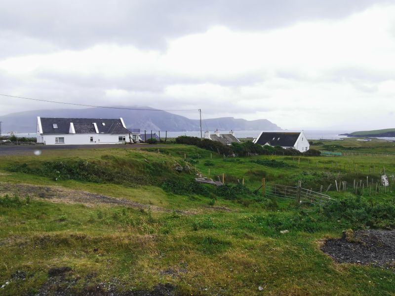
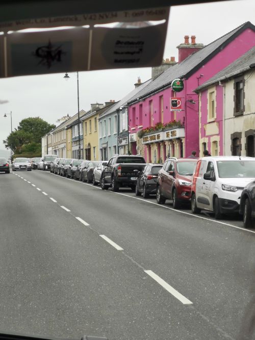
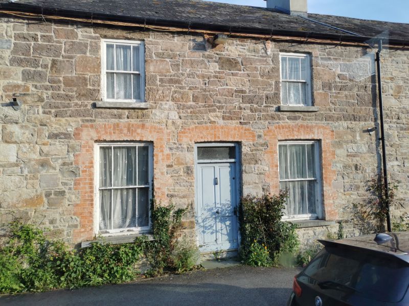
We arrived in Belmullet on an overcast, dreary morning and parked near the canal. Walking down to the main street we did some window shopping and ate lunch in a local bakery. Soon the rain arrived and with a big drive ahead, we made our way back to the van and towards Bangor Erris, less than 20 minutes away. Exploring the Belmullet Peninsula remains for another time, but it has so much cultural history here that a few days to explore would have been amazing.
Leaving the coast and driving inland
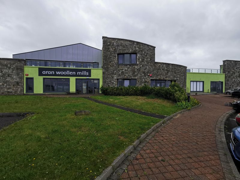
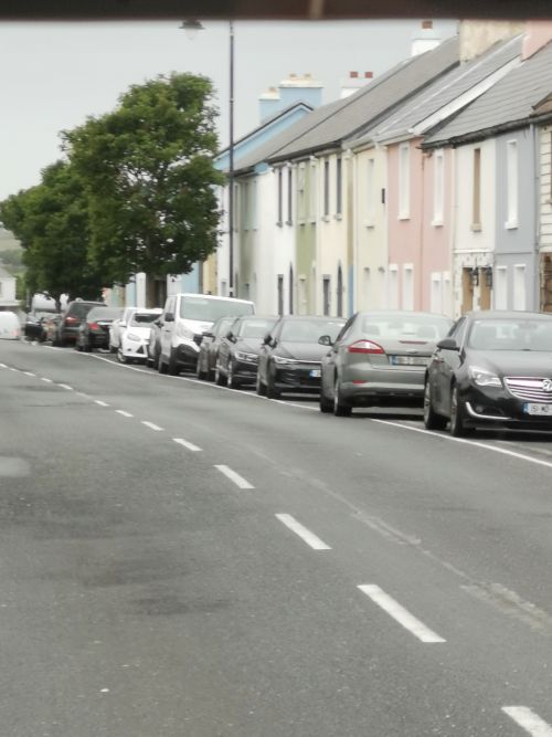
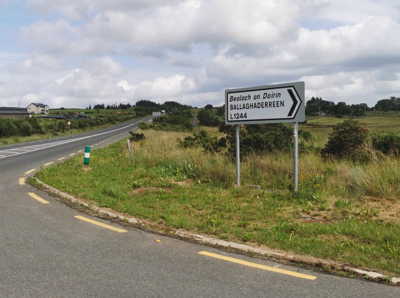
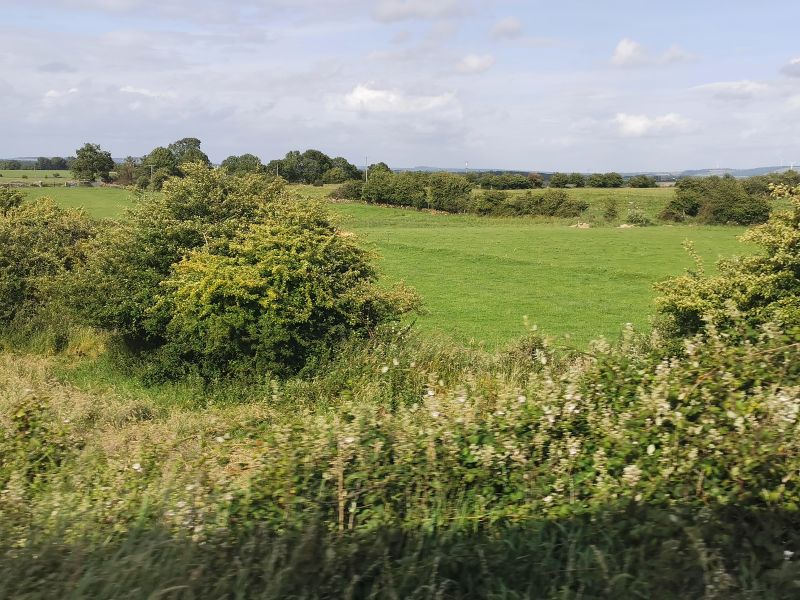
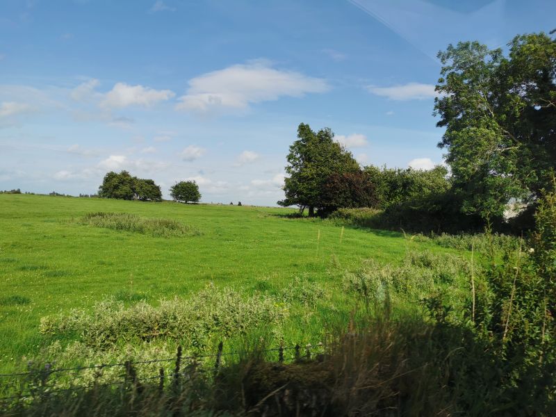
Leaving the coast, we moved inland for the next stage of our journey. Just out of town, we stopped at an Aran Island clothing factory, smelling like fresh wet wool where we could see the machines making clothing; however, after speaking briefly to a lady through a window, we learned it was not open to the public and so we moved on. We passed through Bangor Erris and the last of the bogs in that region, moving through the rural towns of Ballina and Swinford towards Ballaghaderreen ‘Bealach an Doirín’ in County Roscommon. The countryside was reminiscent of the south of Aotearoa New Zealand, where we hail from; and it was like coming full circle, as this is the region where my ancestors were from.
A relative had done some genealogy research and had located information noting that some of my mother’s family came from the Roscommon region, namely Ballaghaderreen and Bunnanadden ‘Bun an Fheadáin’, Ballynaraw South, in County Sligo and near Sligo city.
Remember to open up the groups of photos to see them fully!
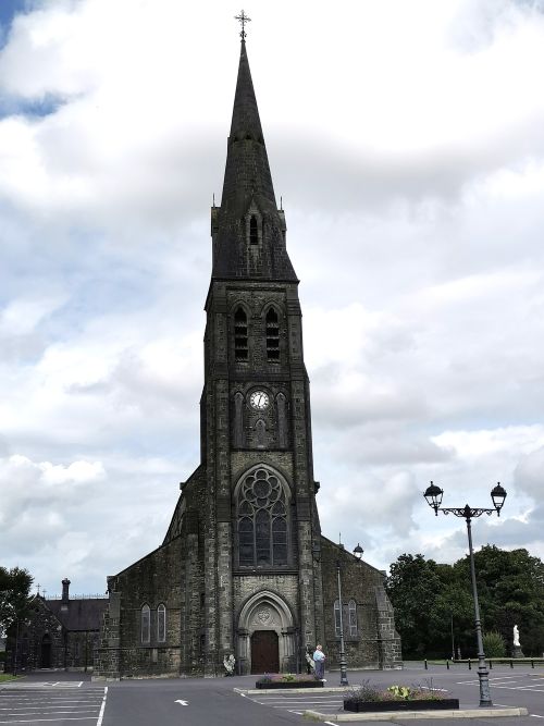
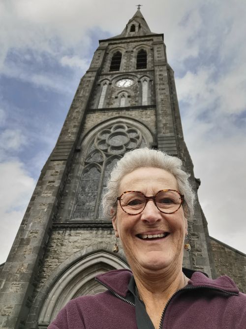
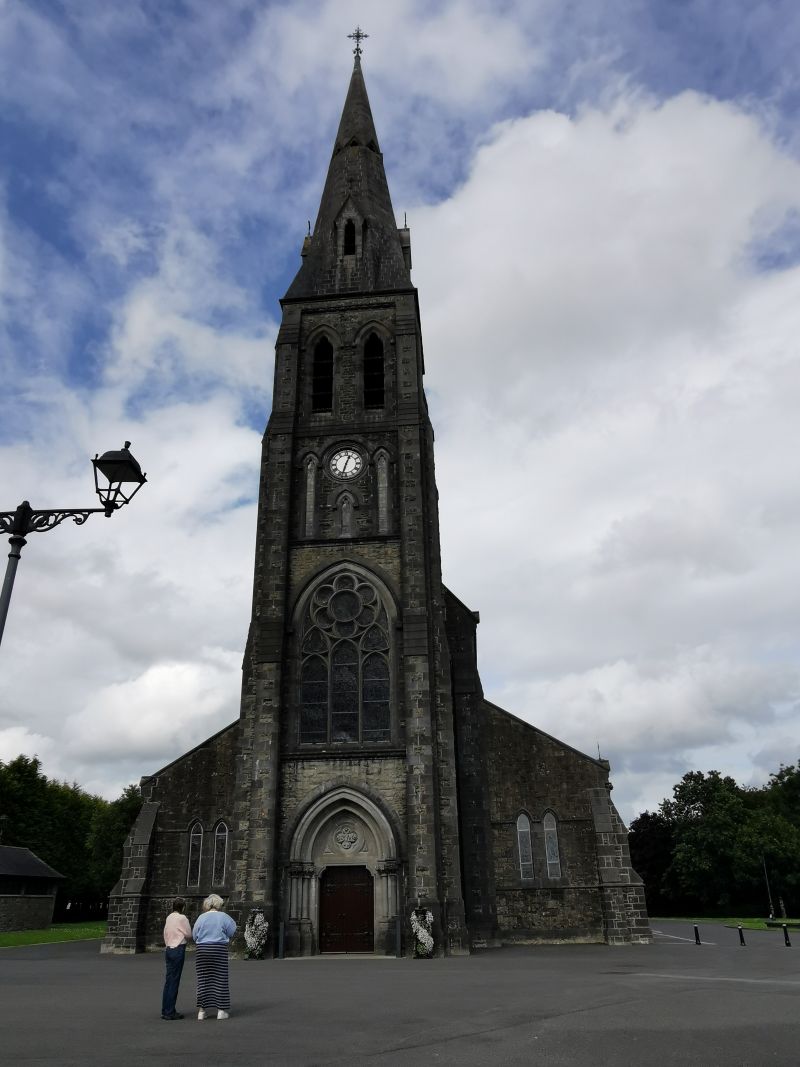
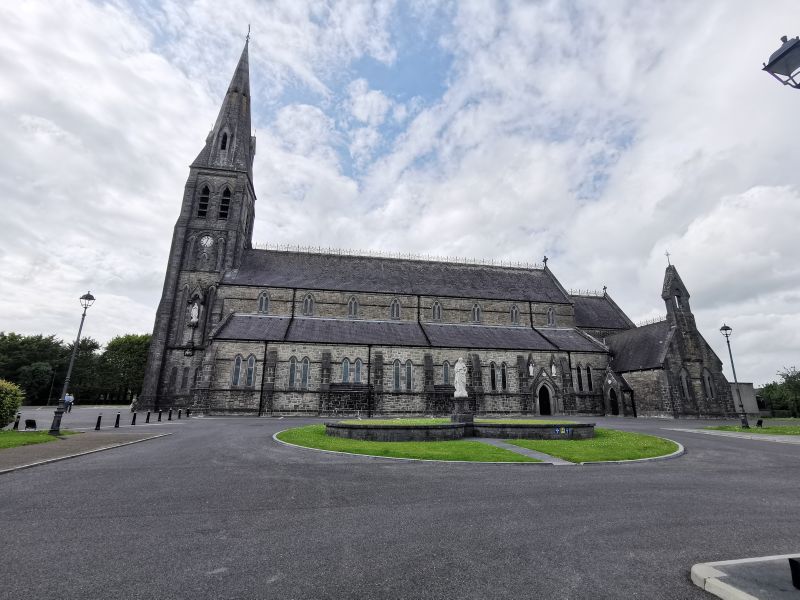
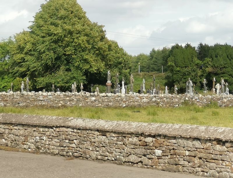
We arrived in Ballaghaderreen, where we drove to the church where one ancestor, Matthew Hunt, married Margaret Higgins in 1874. Matthew came to Aotearoa New Zealand with the 3 older sons during the time of resettlement and gold rushes, but Margaret stayed (and died) in Ireland with 3 of their younger sons. Ballaghaderreen Cathedral (Full title: The Cathedral Church of the Annunciation of the Blessed Virgin Mary and St Nathy) was commissioned in 1855 and completed in 1860. It is long and narrow, constructed from grey limestone and, initially, consisted of an eight-bay nave, with a four-stage tower and spire, with the addition of a single nave and a baptismal font dating from 1870. We took photos, and as light rain began to fall we took our leave of Ballaghaderreen as we still had quite a way to drive in the early evening.
The beautiful Irish countryside
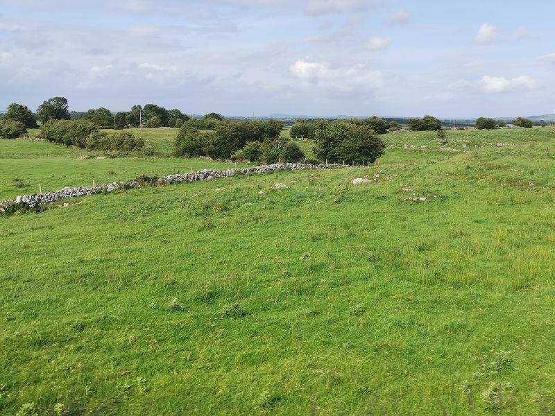
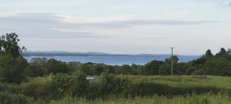
We travelled south through the beautiful farmlands towards Killaloe on the shores of Lough Derg. Passing Roscommon, Athlone, and Lough Ree, we enjoyed these rural views from the campervan on the 2-3 hours of countryside travel.
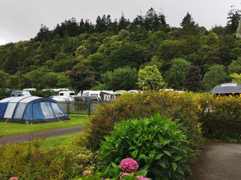
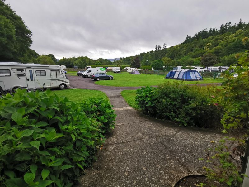
Killaloe Camping & Pipers Inn
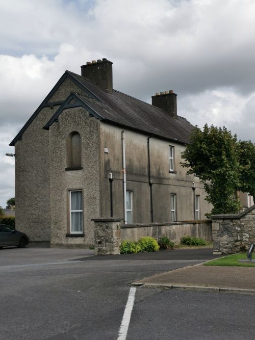
Having researched this inland region and its beautiful landscape, we settled on Killaloe Camping for our overnight stay and were pleasantly surprised when we arrived at the country pub, Pipers Inn, with the small circular camping area ‘out the back’. The facilities were basic with toilets, showers, and a washing area, but no cooking facilities. It was on a hill, and you just needed to peek over the hedge fence to look down over the farmland to the waters of Lough Derg.
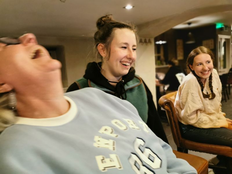
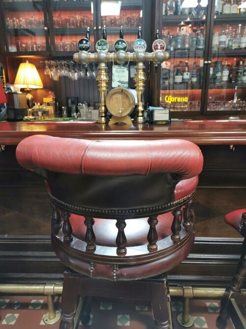
In the late evening, we went across to the pub and enjoyed a Guinness and a wine. We chatted to the barmaid as she went about her work. She was a veterinary student studying in Poland, but working during her holidays here at her uncle’s pub. Francesca is working towards doing veterinary studies, so it was great to hear the barmaid talk about her experiences, studies, and future.
Killaloe Camping Ground: https://www.killaloecamping.com/
https://maps.app.goo.gl/ufTmhWifYJHJtqbr8 (take a look at the camp and pub)
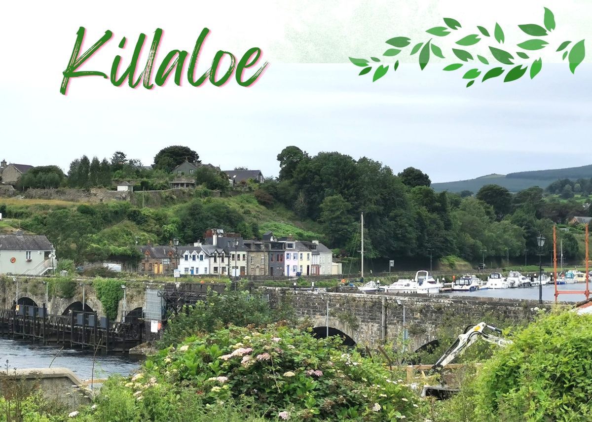
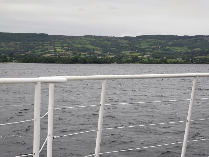
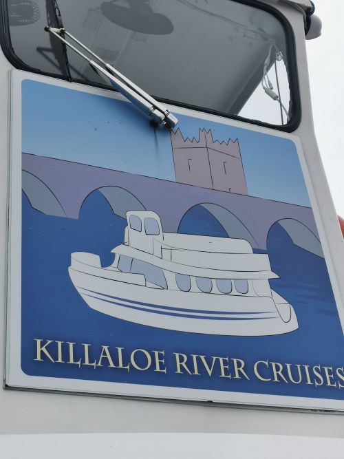
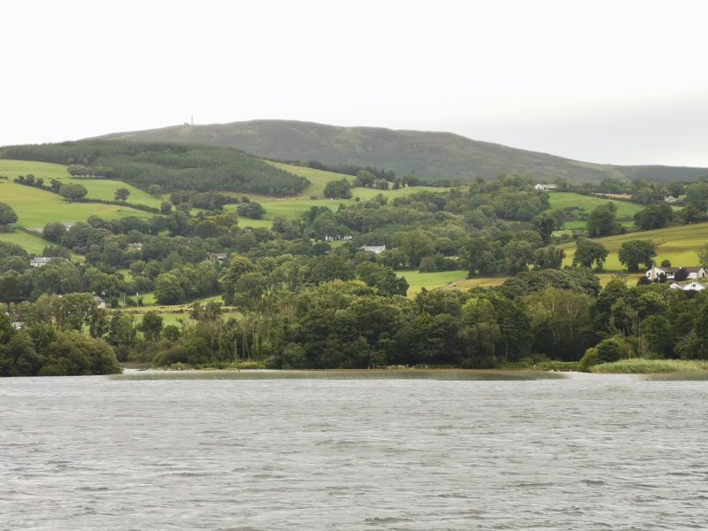
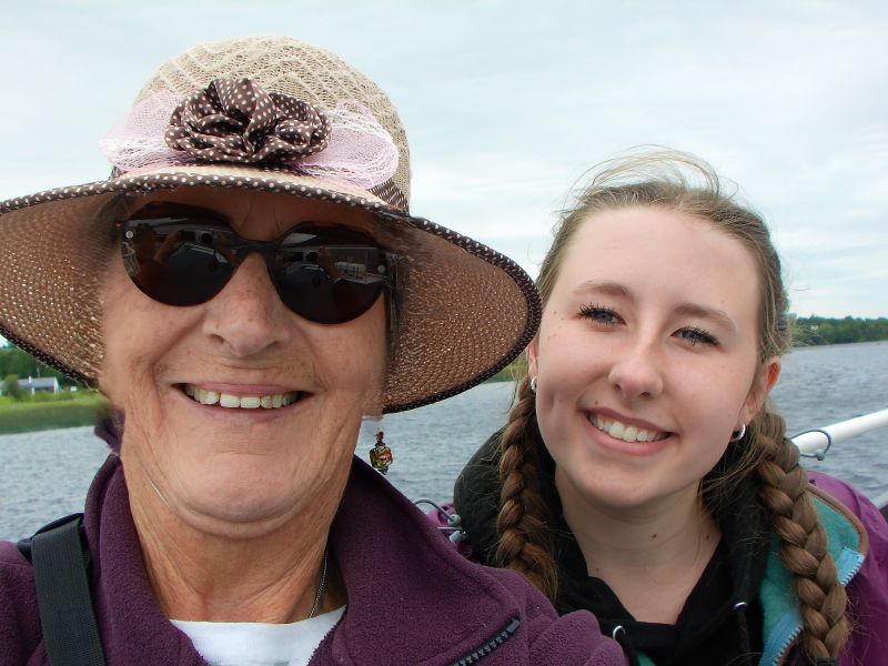
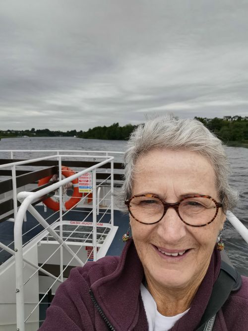
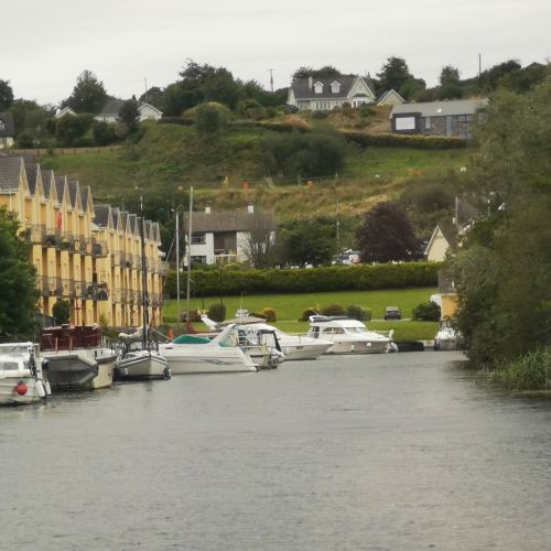
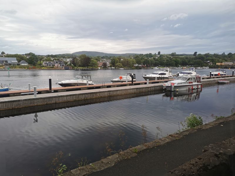
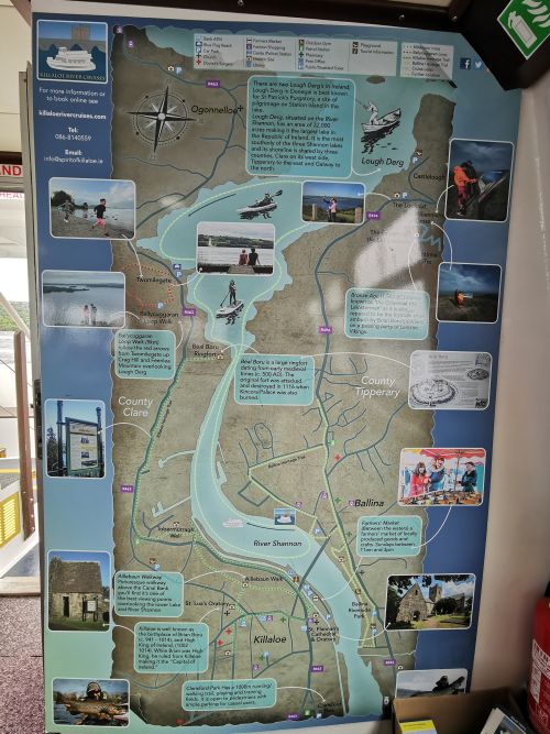
Killaloe, Ballina, Shannon River and Lough Derg cruise
We stayed at the camping ground because the following day we had plans for spending time in Killaloe, Ballina (a different town from the Ballina in County Mayo), and cruising on the Shannon River. Killaloe (County Clare) is on one side of the River Shannon and Ballina (County Tipperary) on the other.
Arriving in Killaloe, we drove towards the centre of town, which turned out to be a mistake. The street narrowed and we realised that if we went further we would get stuck. With great hilarity and much help from a delivery truck driver and some other older men, Dionee did an amazing job of backing the campervan back up the hill. Thankfully no problems were encountered, other than a cosmetic black mark from the mirror we rubbed up against before we gently tucked it in! Beside her window, Matilda chatted to a man eating his lunch in his van, waiting for us to free up the road. A lady at the top of the hill had stopped the traffic and kept them at bay until we were safely turned around. Amazingly, not one person got mad at us, yelled, swore, cussed, or shook a fist or middle finger; they all just wanted to help. The delivery driver told us he had been similarly caught and stuck. Dionee thought he was a bit shocked when he saw she was the driver and not some grey-haired old man! Although quite a stressful time, we still laugh at this episode.
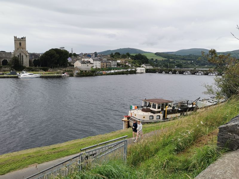
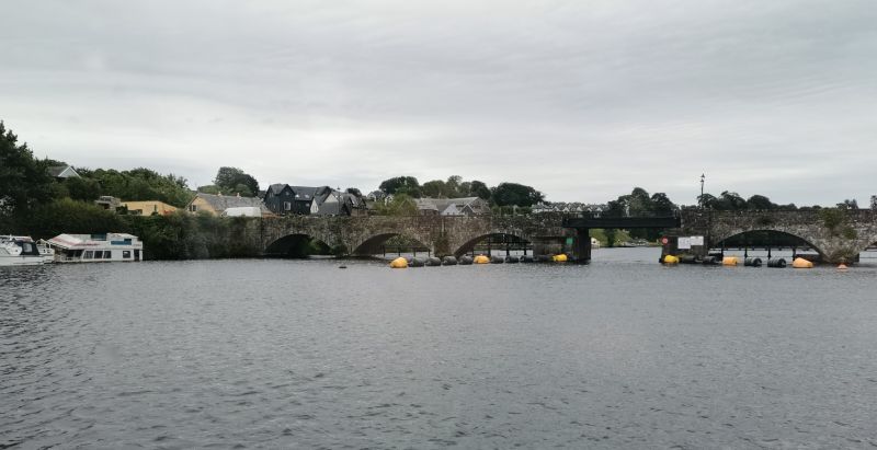
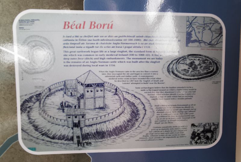
Killaloe, founded in the 6th century on the site of a monastery, became the seat of power with Brian Boru, ruling as High King of Ireland from his palace in the early 11th century. In the 12th century, St. Flannan’s Cathedral was built, and the area was important as an ecclesiastical centre. It had wealth and importance as boats and cargo used the river as a ‘highway’, which also made it a target for raiding Vikings.
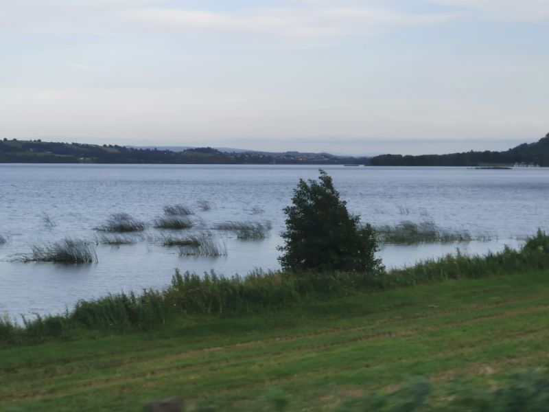
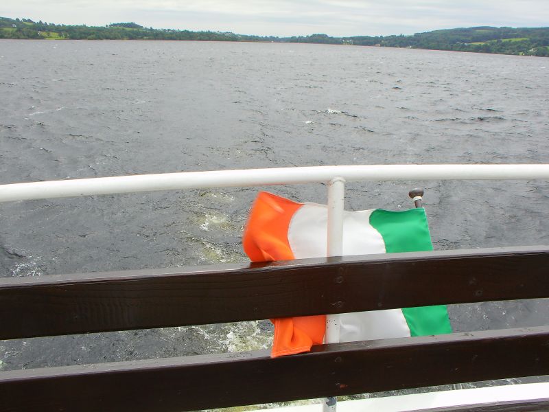
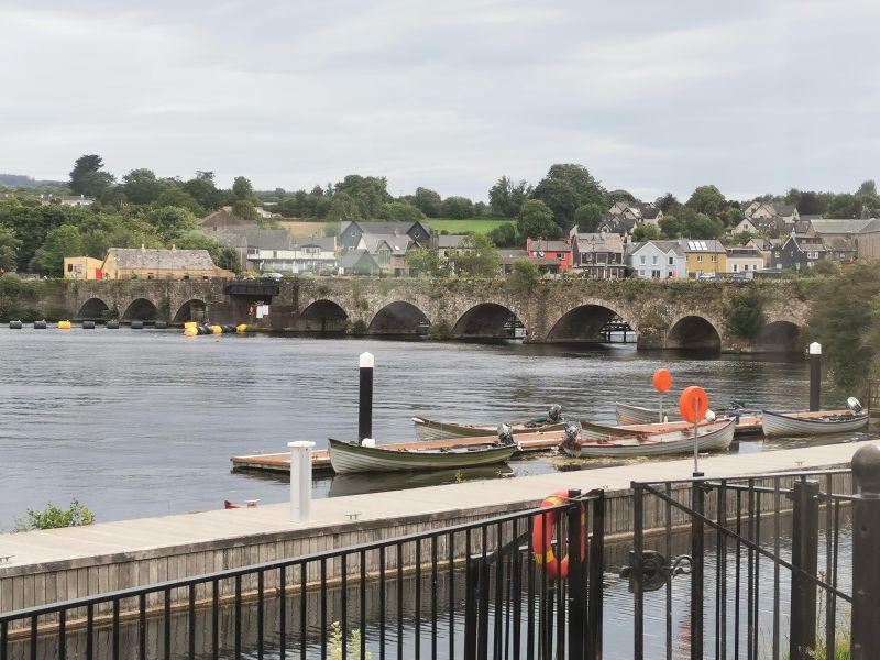
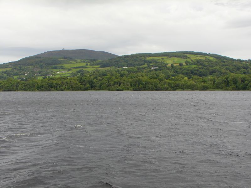
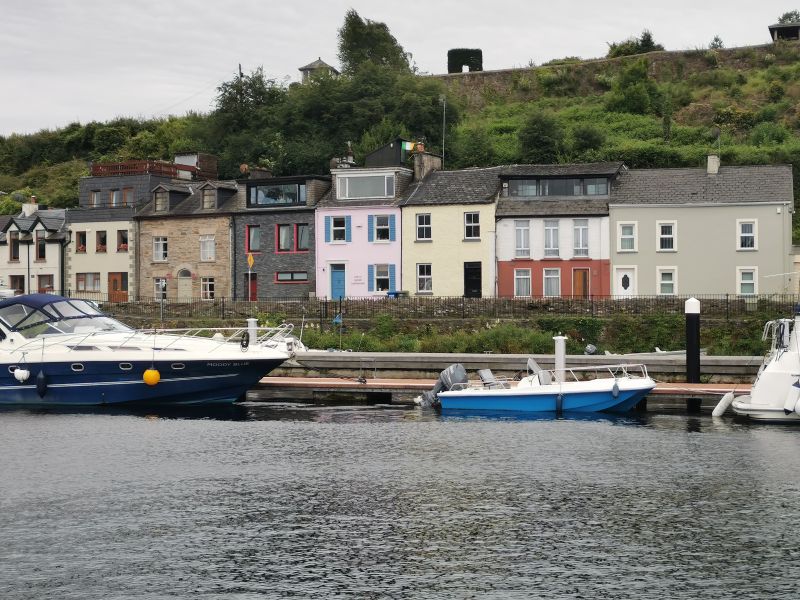
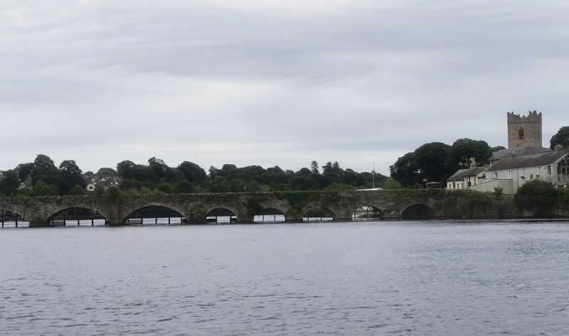
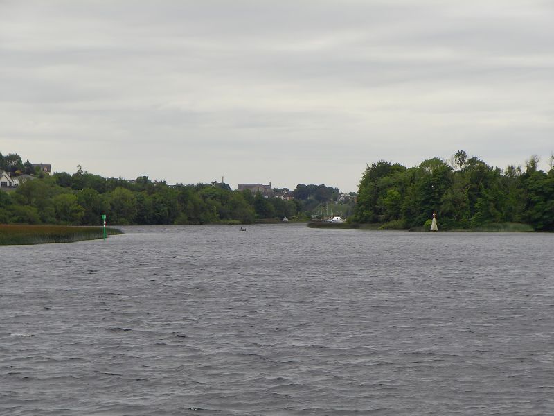
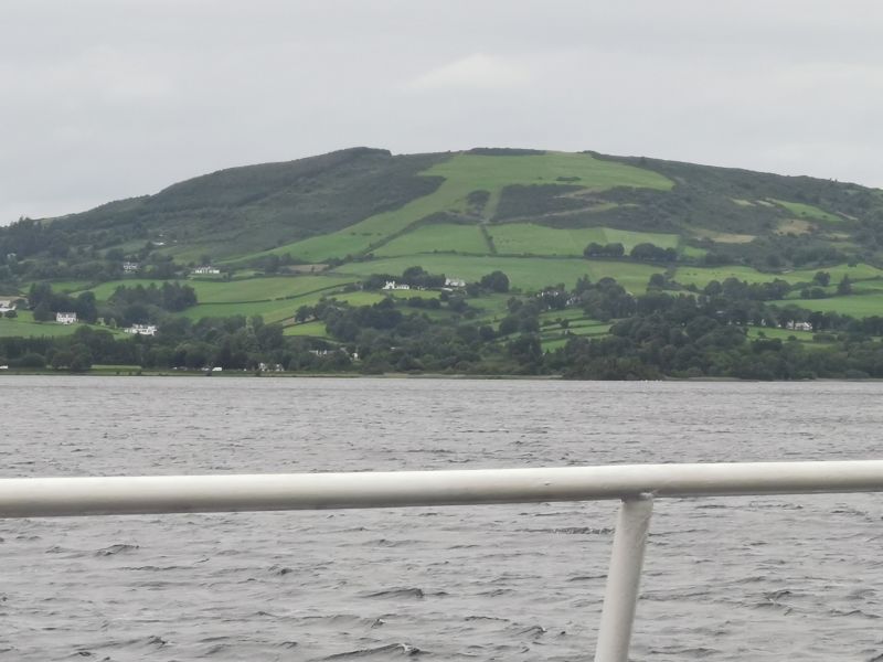
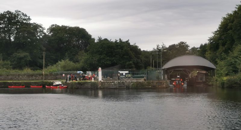
We made our way over the 18th-century, 200-year-old, 13-arch bridge to Ballina and found a park before walking up the street towards the shops, restaurants, the boat terminus for the river cruise. After enjoying shopping and lunch, we boarded the boat for a lovely cruise up the River Shannon into Lough Derg. We had a ‘running commentary’ about the history and heritage, wildlife, legend and folklore of the area and the Lough. The town of Killaloe sits above the bridge, and there had previously been some rocks creating Killaloe falls, which have now disappeared under the water, which has risen to create a lake due to the building of a hydroelectric system. Lough Derg is the resultant reservoir and weir further down the river at O’Brien’s Bridge.
Remember to open up the groups of photos to see them fully!
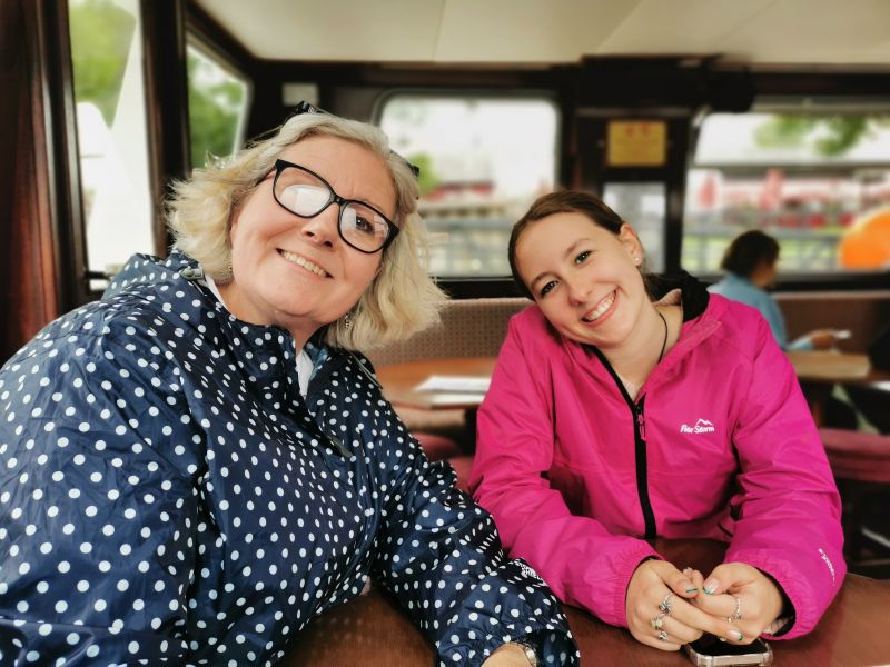
Cruising!
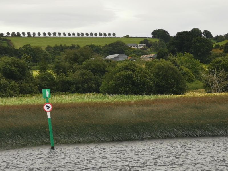
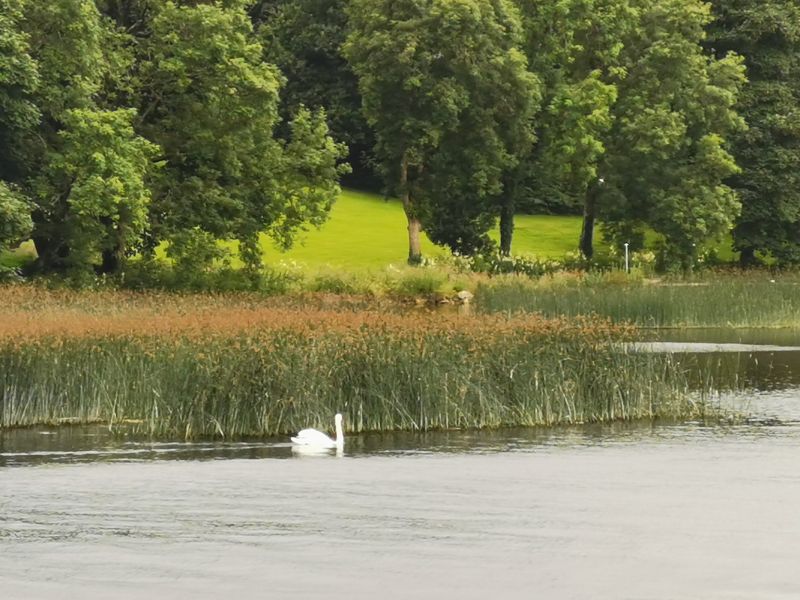
It was a comfortable, gentle cruise and we relaxed with the hum of the engines, sitting first on the top deck in the light breeze, until some gentle rain started to fall and we went down into the lounge room. We enjoyed the views of the tree-covered hills, farms, water park, and the Killaloe Camping area, where we had spent the previous night.
Remember to open up the groups of photos to see them fully!
See more here: https://www.killaloerivercruises.com/
https://www.clarelibrary.ie/eolas/coclare/places/killaloe_history.htm


Towards Killarney
Just after leaving Ballina, we passed the new ‘Brian Boru Bridge’. Opened in May 2025 it links Killaloe, improving connectivity and reducing traffic congestion in the historic twin towns. It is a modern alternative to the historic bridge, preserving the unique character and heritage of the original structure. The new bridge was built after 20 years of collaborative planning, public consultation, and environmental assessments. According to the bridge’s website, following Brian Boru’s birth 1,000 years ago, his visionary leadership is reflected in its role as a connector of people, places, and possibilities. (taken from the website, not a direct quote).
To avoid the metropolis of Limerick, we drove cross-country, coming in on a side road to Newcastle West and driving on towards Kerry airport. We collected a hire car and drove on towards Killarney, where we would stay the night before returning the campervan. Killarney was busy due to a festival taking place. This resulted in us losing sight of Dionee in the campervan and Matilda and me in the car, ending up in the middle of the town, in the midst of the early evening throng of partygoers. Eventually, with phone connection and lots of laughs, we found our way to the ‘Flemmings White Bridge Killarney Holiday Park’ camping ground, a large, beautiful space by the river, busy with many people who had come for the festival and/or outdoor adventures in the Killarney National Park, right on our doorstep.
Killarney: https://killarneycamping.com/
After a nice walk and dinner, we cleaned the campervan and packed our belongings, for in the early morning we would drive back to Newcastle West and return the campervan to the lovely people at CaraMotorhomes before driving to Tralee and onto the Dingle Peninsula for our final days of this adventure. Come with us on this last journey of discovery before leaving Ireland.