
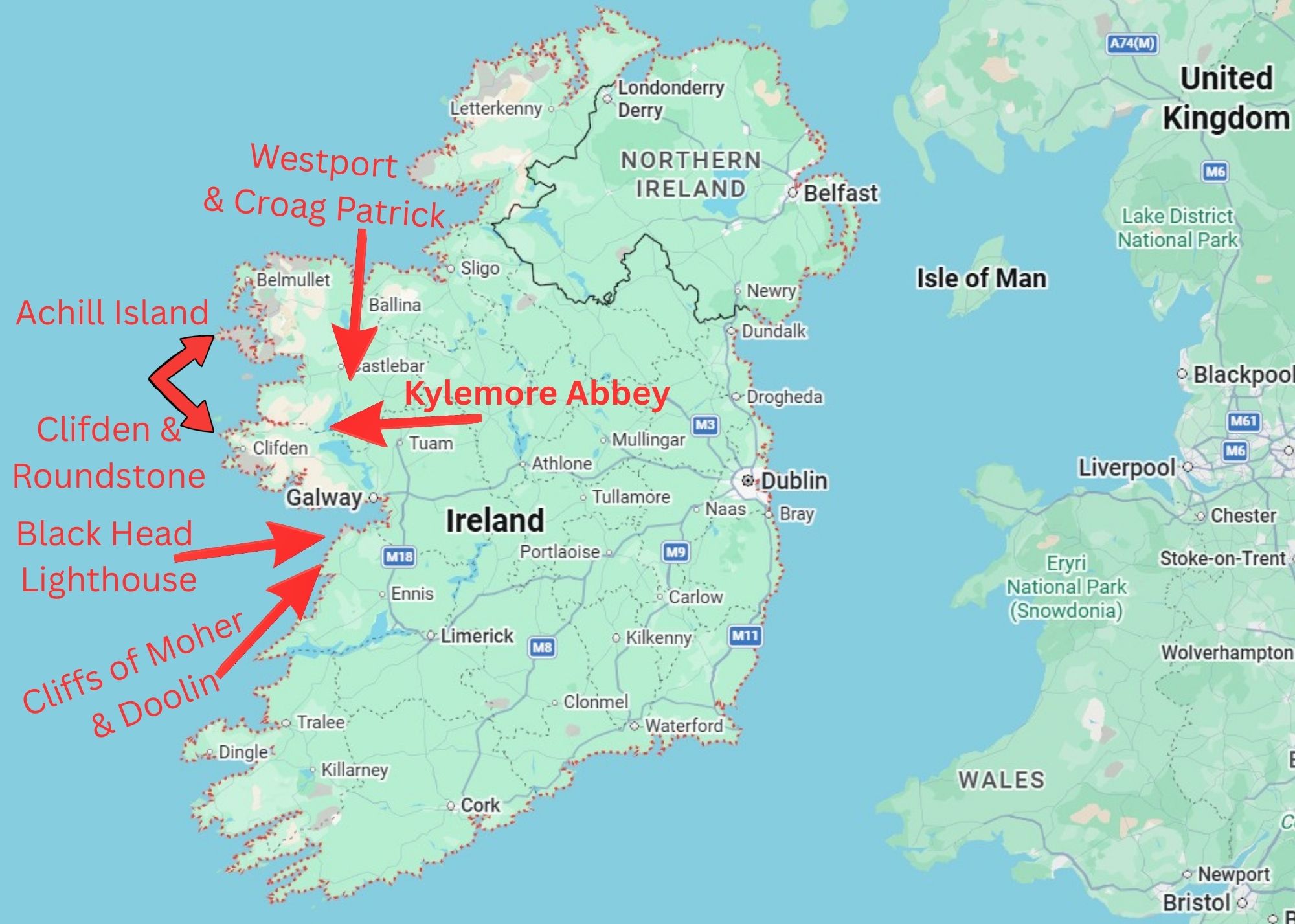
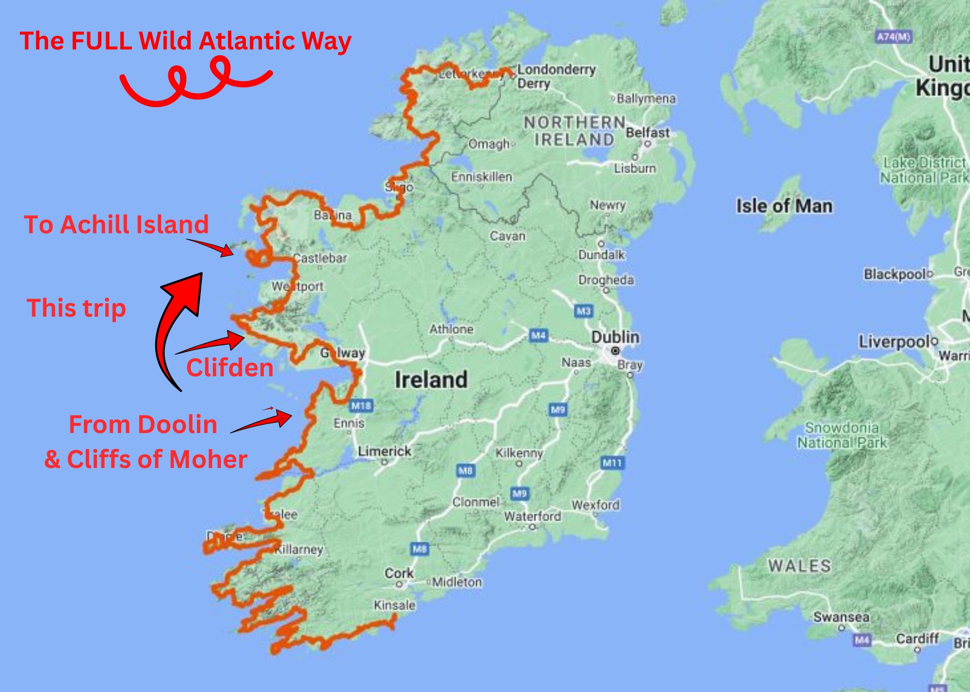
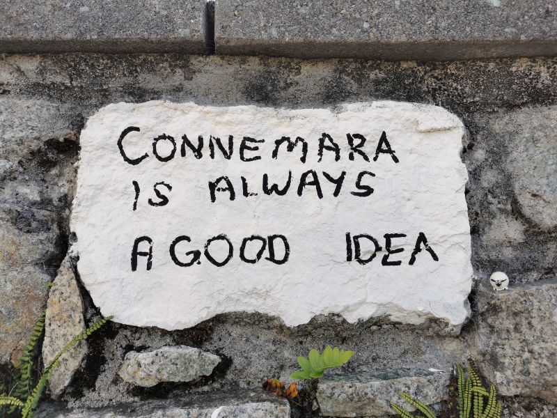
Next days: The coast road to Clifden, Kylemore Abbey, and Achill Island
Once again I wish to acknowledge and thank my wonderful friend Shoba Nayar who edits my writing, and whose careful eye and amazing suggestions helps bring alive stories from our travels!
Where in the world are we? Ireland!!
In the last story we completed with:
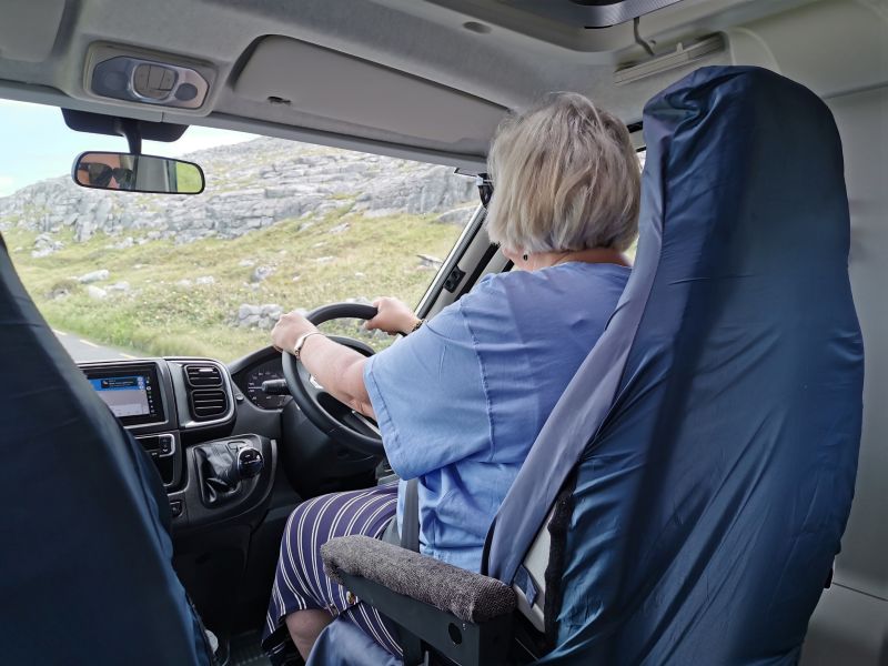
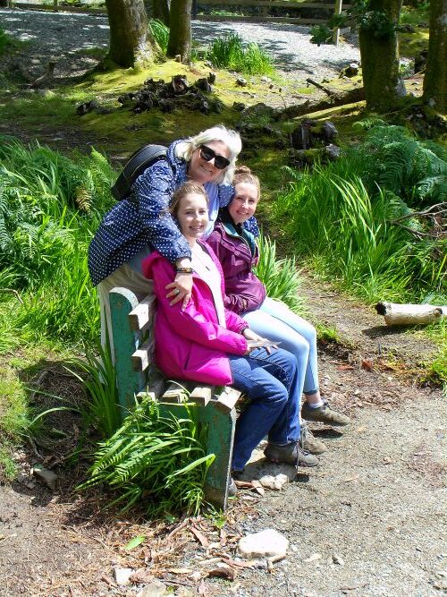
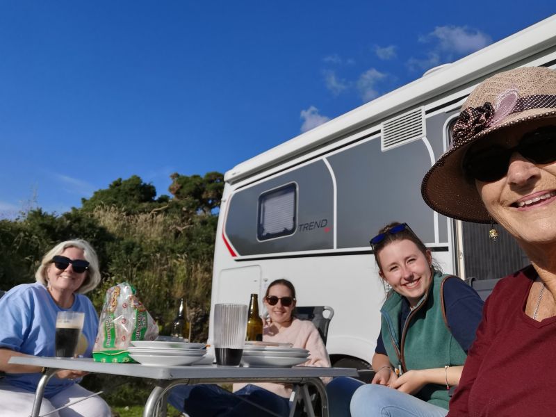
We slept our first night in the campervan and in the morning had a light breakfast at the cafe attached to the Nagel’s Camping & Caravan Park before driving to our next stop at Clifden. We planned to hug the coast and stop frequently to enjoy as much of the Wild Atlantic Way as possible. Our route will cover but a part of this coastal path, and you have stepped into the first days with us; now come along for a ride!
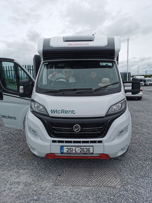
Campervan rented from:

The Trail North

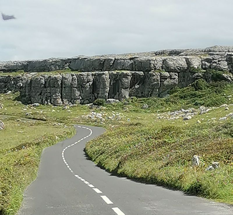
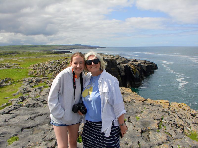
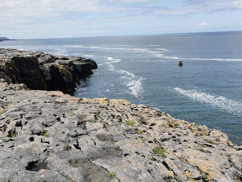
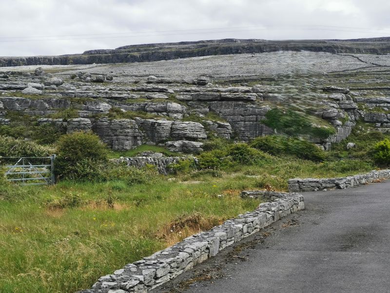
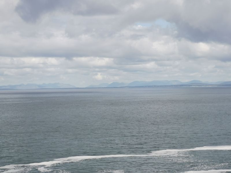
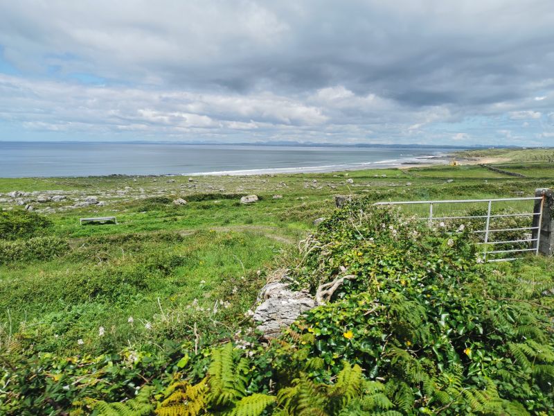
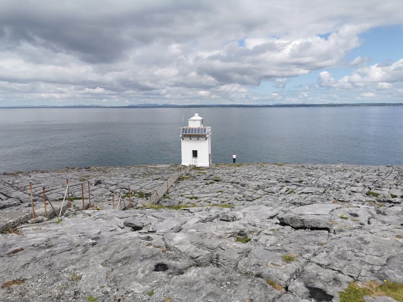
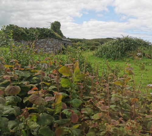
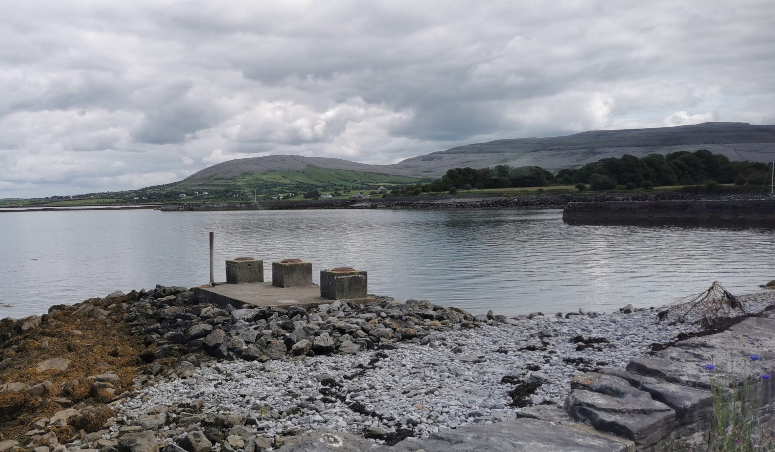
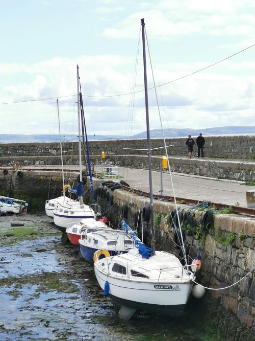
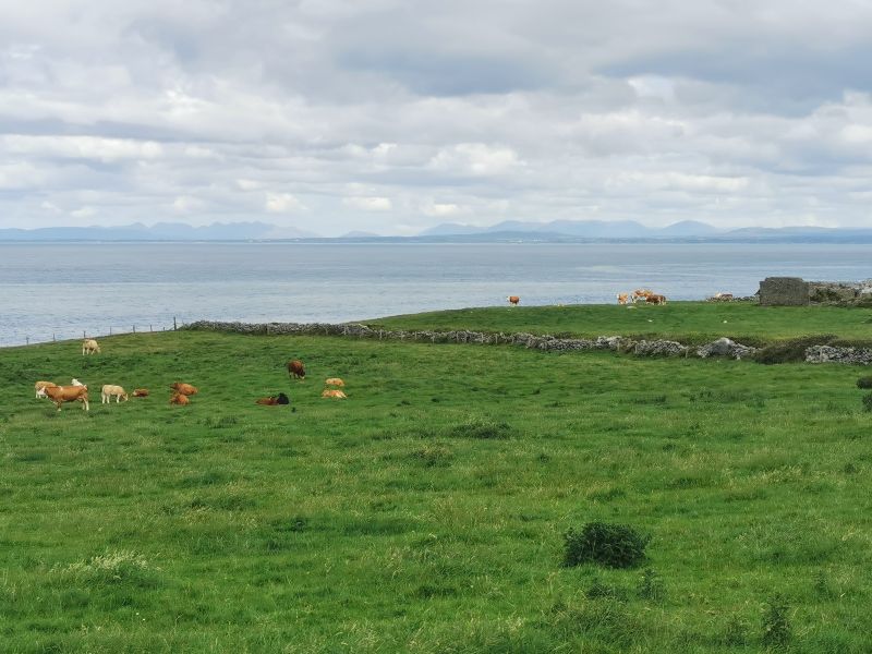
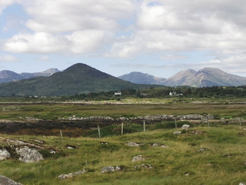
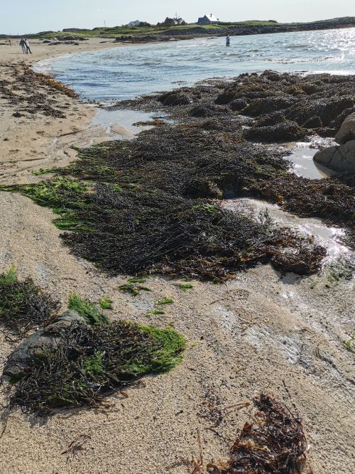
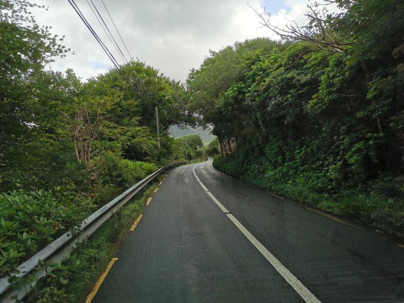
With a long drive ahead, we set off towards Doolin Cave and the coast road of ‘The Burren’ with its mesmerising high cliffs and rock hill formations. We stopped at the Cliffs, where people were camping, to admire the view, and then again further along the road at a deserted, crumbling old church, overlooking the Atlantic Ocean, where I wandered among the ancient graves, feeling the restfulness and peace of the place. As we drove towards the wide expanse of golden beach and sand dunes of Fanore Beach, enroute to Blackhead Lighthouse, Francesca spotted two dolphins gliding in the water of Galway Bay.
Remember to open up the groups of photos to see them fully!
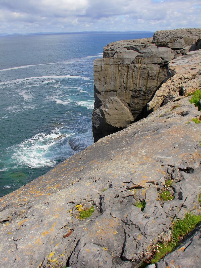
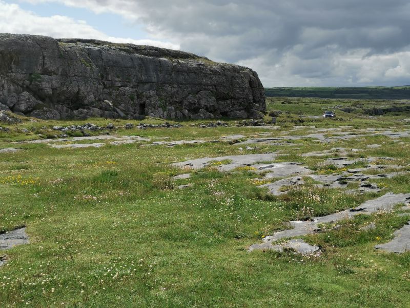
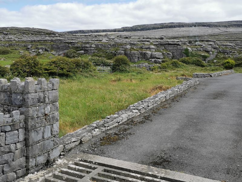
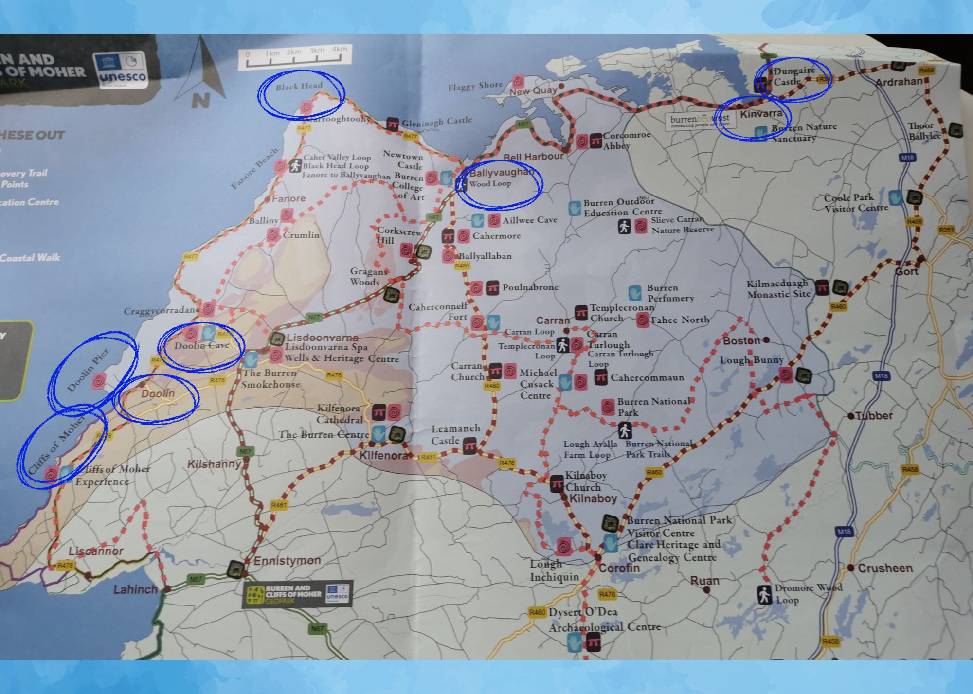
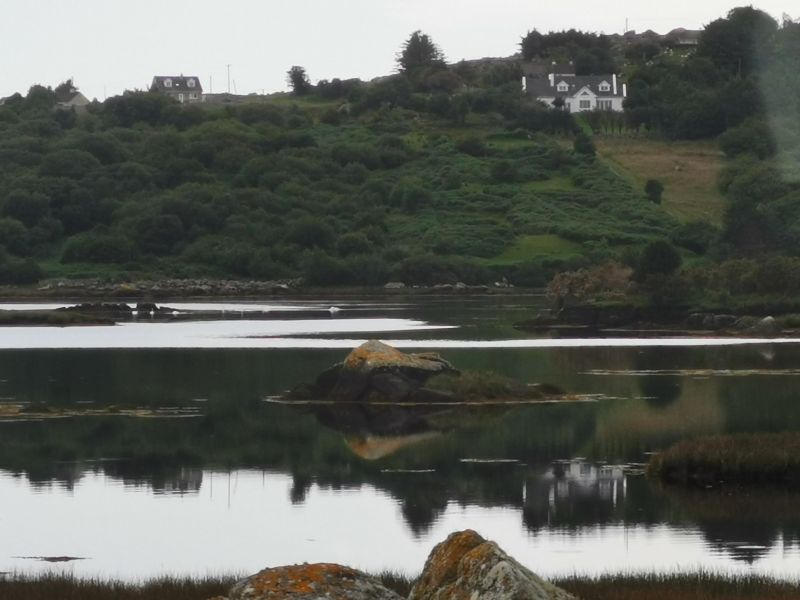
‘The Burren’ and the Cliffs of ‘The Burren’

You can read about ‘The Burren’ in the first story here: https://teresaglobaltravels.com/ireland-eight-days-on-the-wild-atlantic-way/
Remember to open up the groups of photos to see them fully!
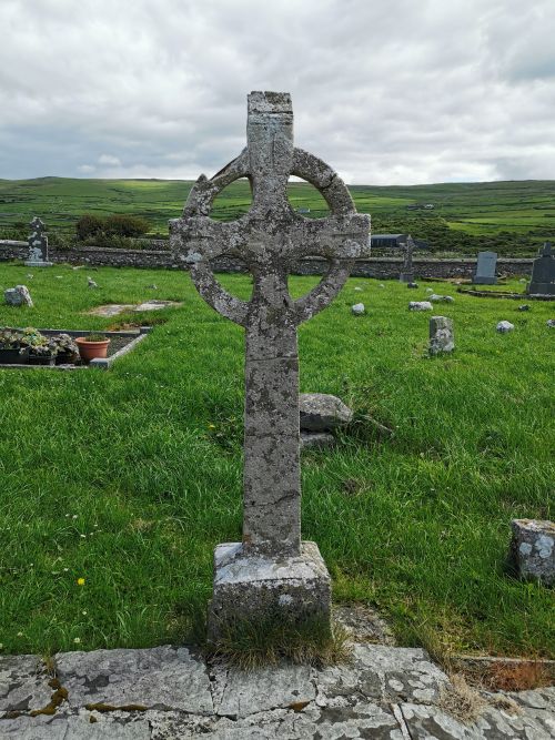
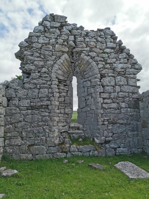

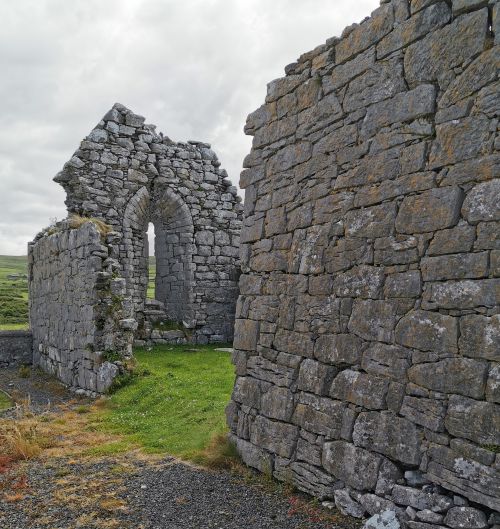

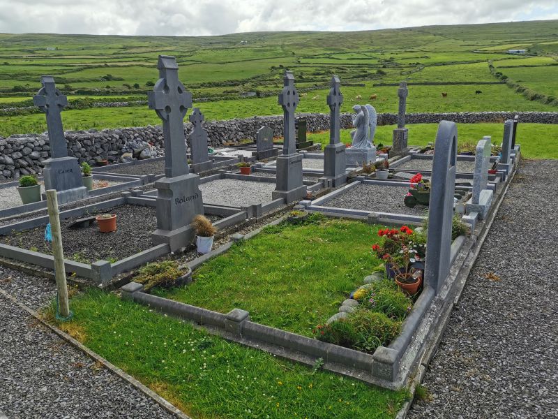
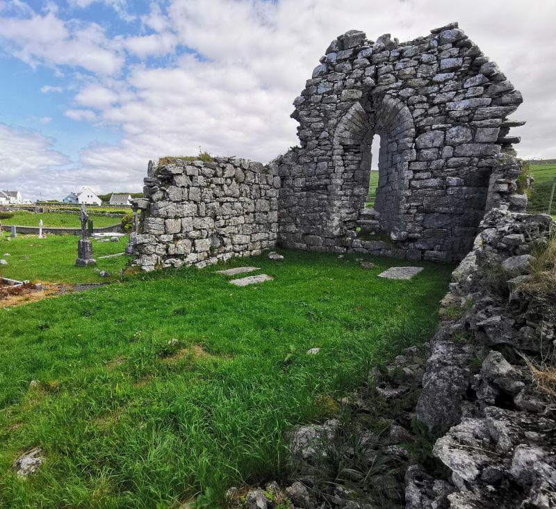
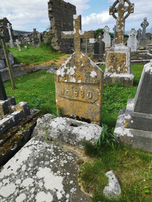
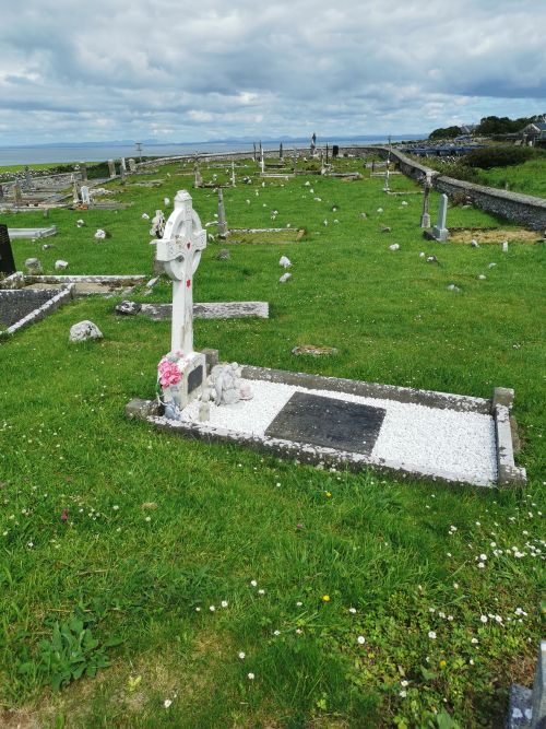
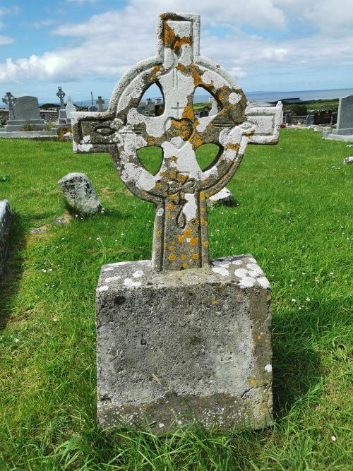
The cemetery overlooking the Atlantic Ocean on the hills of ‘The Burren’

…Continuing along the coast to Galway and Dunguaire Castle
Continuing along the coast road, we met a main road at the lovely village of Ballyvaughan. From here you can head deep into ‘The Burren’, but not for us! Our route took us further along the coastal road towards Galway.
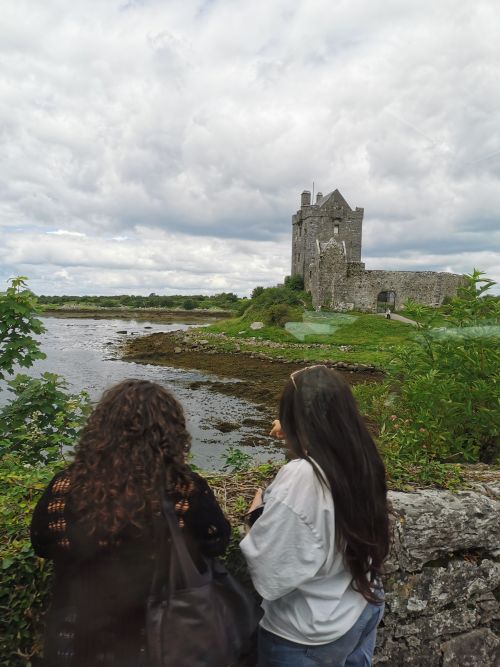
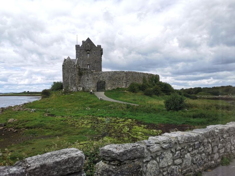
Dunguaire Castle
We stopped briefly at Dunguaire Castle, which sits on a rocky outcrop near Kinvara Village on the shores of Galway Bay. There are hundreds of castles in Ireland—some ruined, some still in use. This ‘working castle’ was built in 1520 by the O’Hynes Clan, and it is said that ‘the architecture is simple yet magnificent’. It is now used for school tours and education, and medieval banquets from April until October, where locally sourced food is shared with stories and good wine. It has been restored, and from 1642 until this century, it was owned by Richard Martyn, Mayor of Galway.
Read about Dunguaire Castle here: https://www.dunguairecastle.com
From the Dunguaire Castle website:
‘The Burren Ecotourism Network and the management organisation of the Burren and Cliffs of Moher UNESCO Global Geopark enjoy a special relationship. Both organisations are committed to the promotion of responsible tourism that conserves the environment and improves the well-being of local people. Having agreed in late 2012 to pool their resources in pursuit of their common objective, they work together to promote ‘The Burren & Cliffs of Moher UNESCO Global Geopark’ as a leading sustainable visitor destination, celebrated for high standards in visitor experience, conservation and learning’.
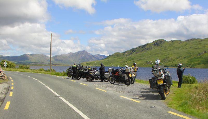
Hugging the coast past Galway
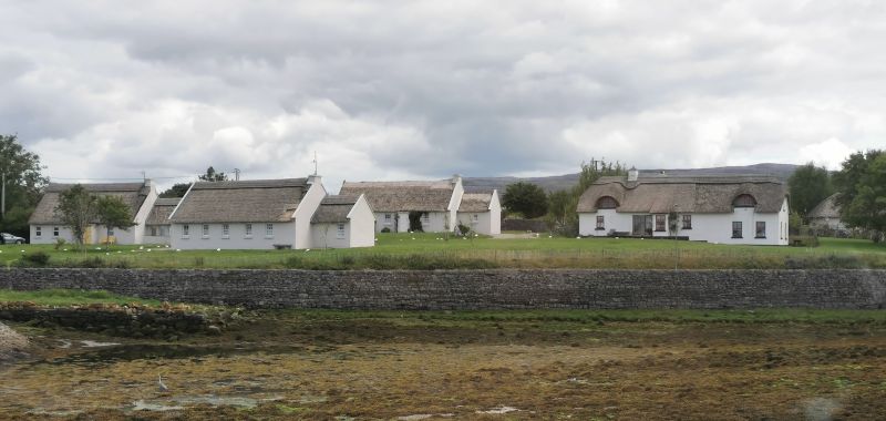
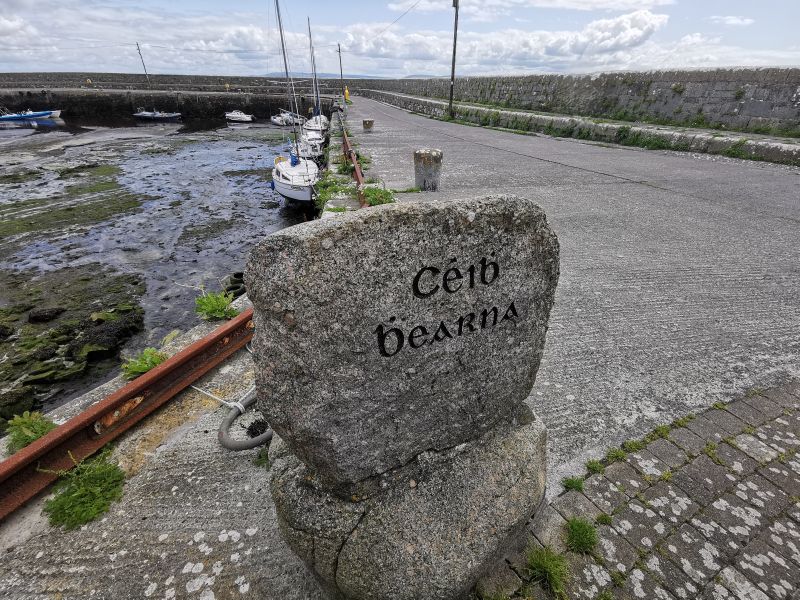
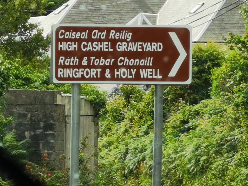
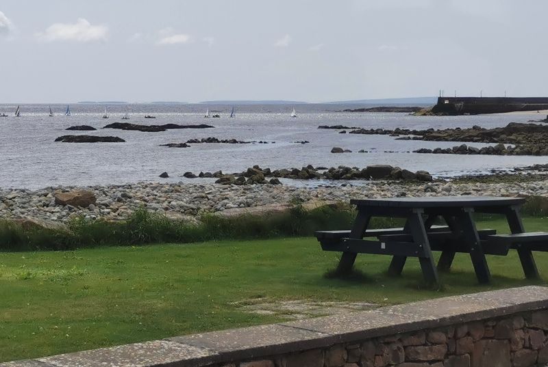
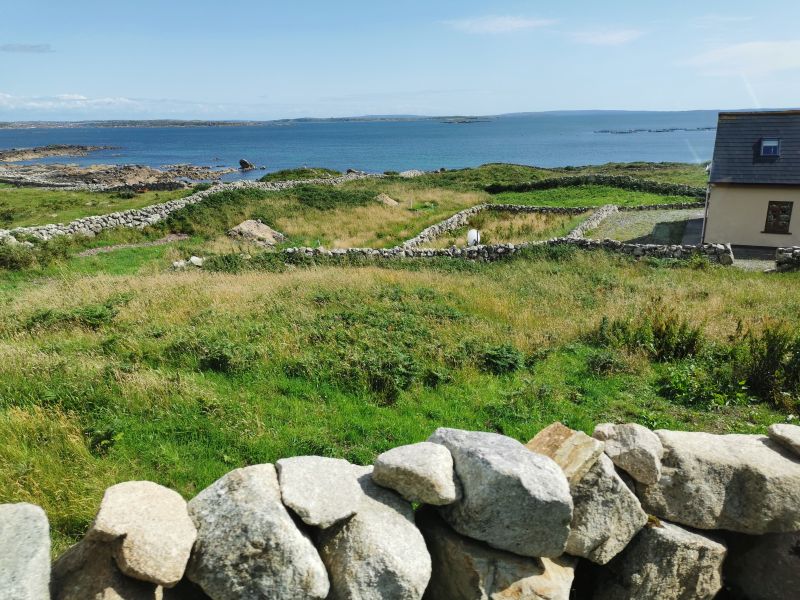
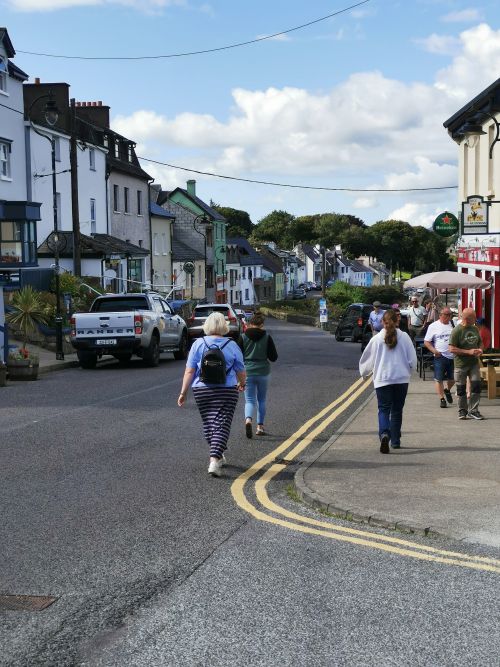
We made our way through Galway and onto the ‘Connemara Discovery Route’. About 7km on the west side of the city, we stopped in Bearna (Barna) on the edge of Galway Bay. This small, quaint seaside village, where Irish is the main language, is a holiday spot with charming restaurants and bars, cafes and picnic spots, though fast becoming a suburb of Galway. Built in the 1820s, the local quay provided a tranquil spot to take a break, eat our lunch, and stretch the legs. Just off the main street, it is bordered by what are known as good swimming beaches. The local area around Bearna contains woodlands and walks close to the sea; a swan sanctuary; and a centre for windsurfing, paddleboarding, kayaking, and fishing, which is open from April to October. The region supports the sports of Gaelic Football, hurling, rugby, rowing, and golf. The village’s ancient history has been elicited from the discovery of shell middens, ringforts, holy wells, and castle sites and is worth the stop if only to admire the pretty coloured houses lining the narrow streets.
Remember to open up the groups of photos to see them fully!
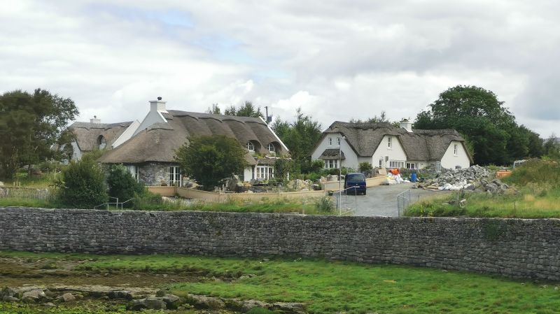
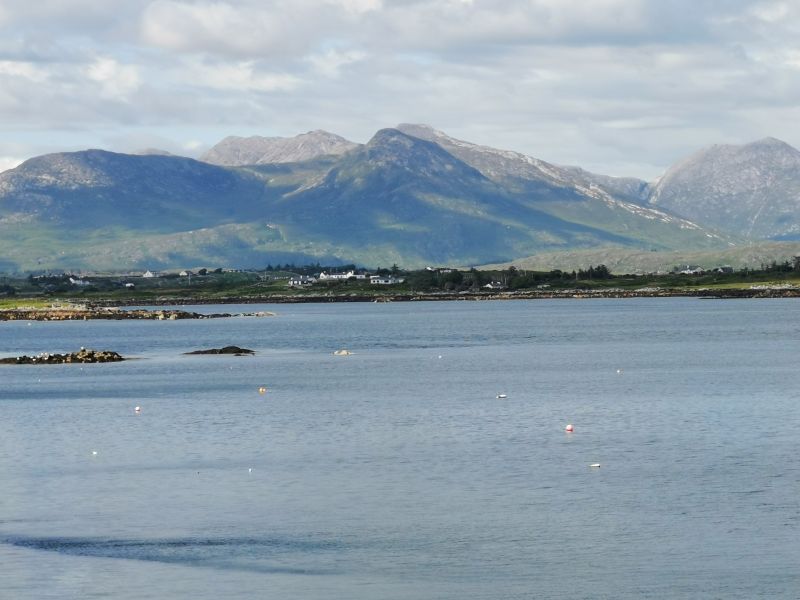
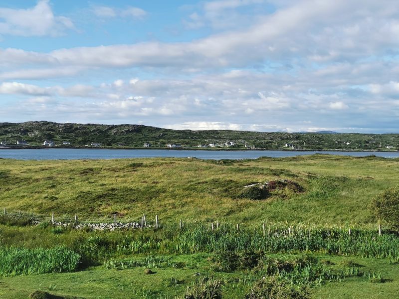
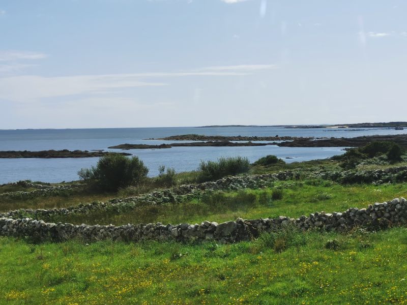
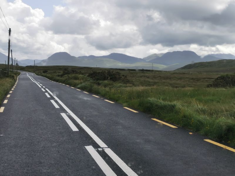
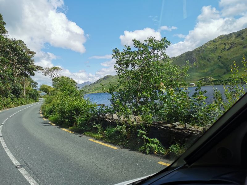
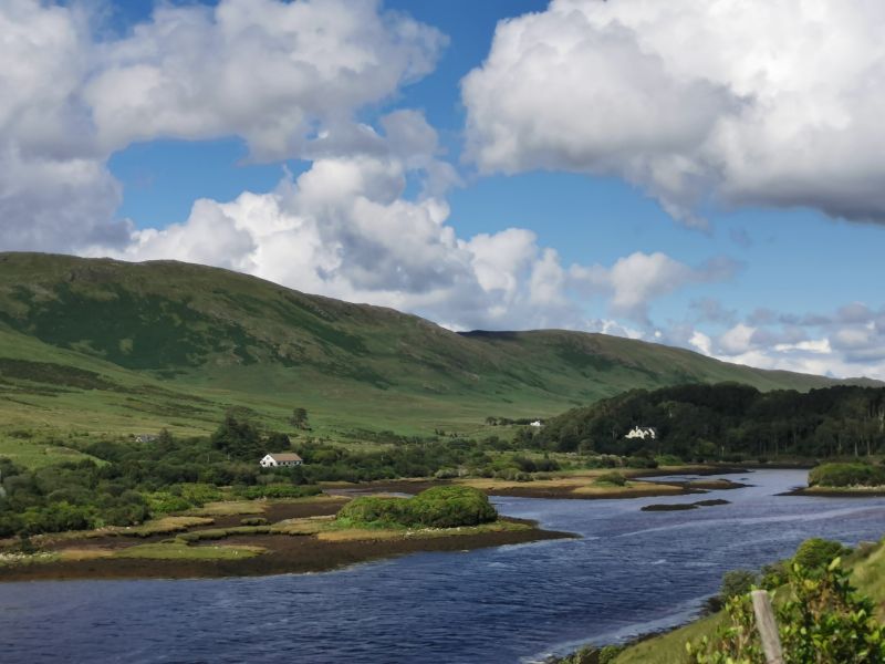
We drove slowly along the pretty, if somewhat narrow, coastline road, lined with thatched-roof cottages, small villages, ancient churches and cemeteries, rock walls, fishing ports, and views down to Galway Bay. We passed the village of An Spidéal and other small hamlets until we turned north towards our destination of Roundstone.
We continued to follow the coastline passing Lettermore, Inishnee, and other islands joined to the mainland by causeways and bridges and arrived in Roundstone late in the afternoon.
Remember to open up the groups of photos to see them fully!
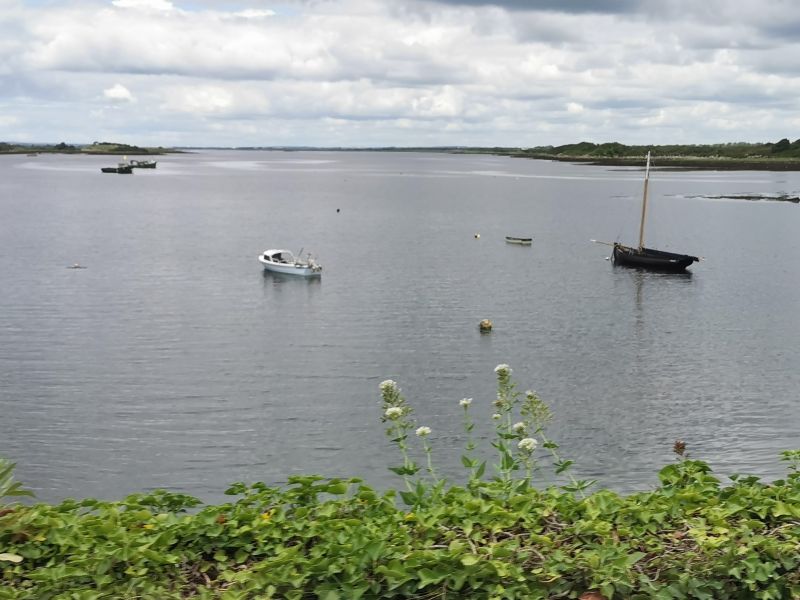

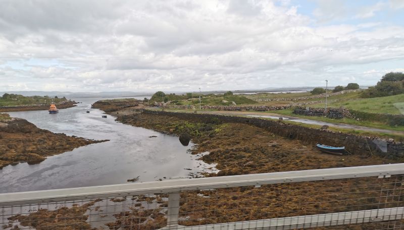
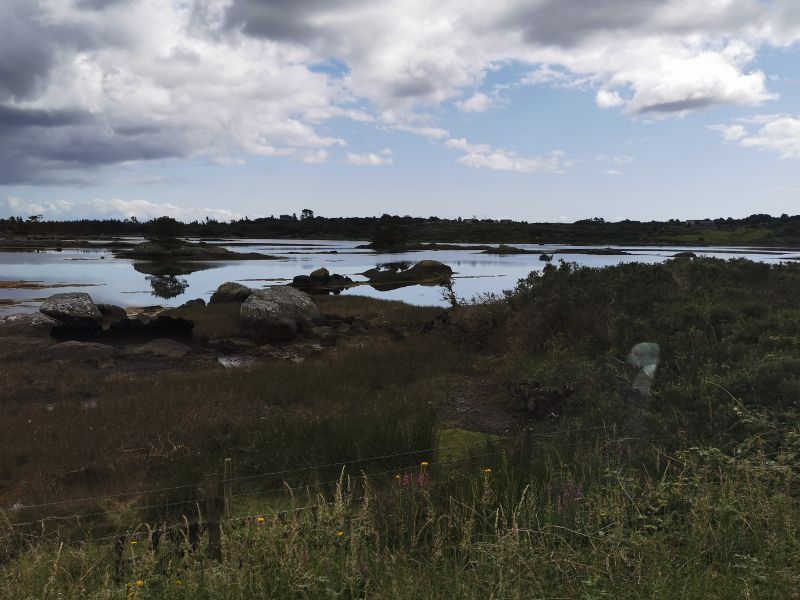
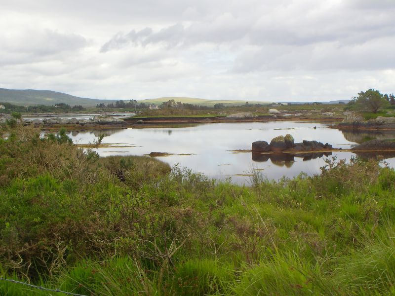
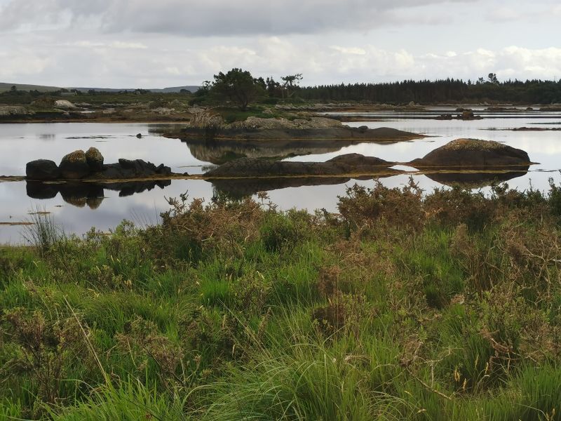
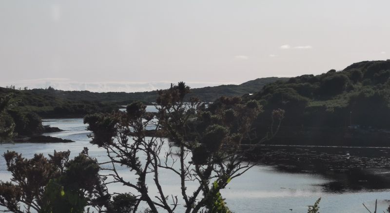
Waterways on the road to Roundstone
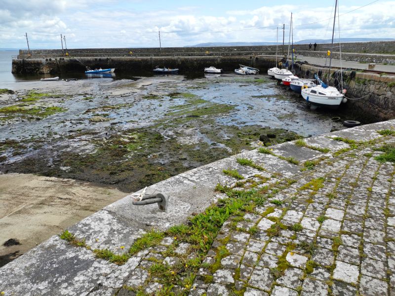
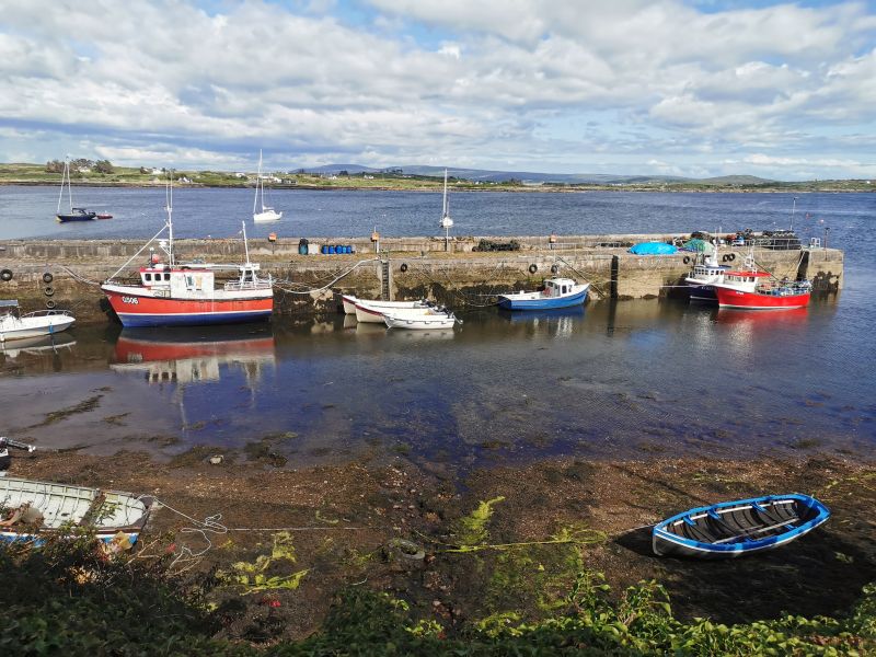
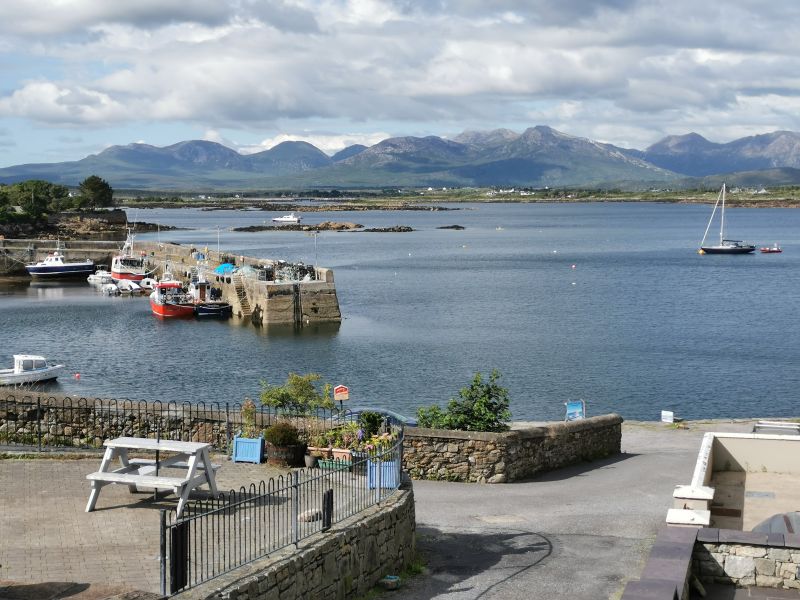
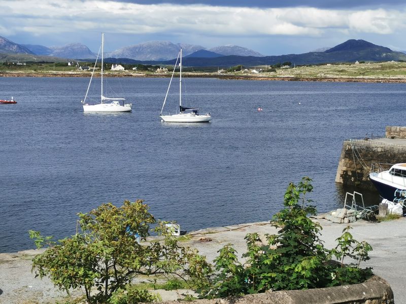
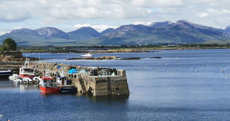
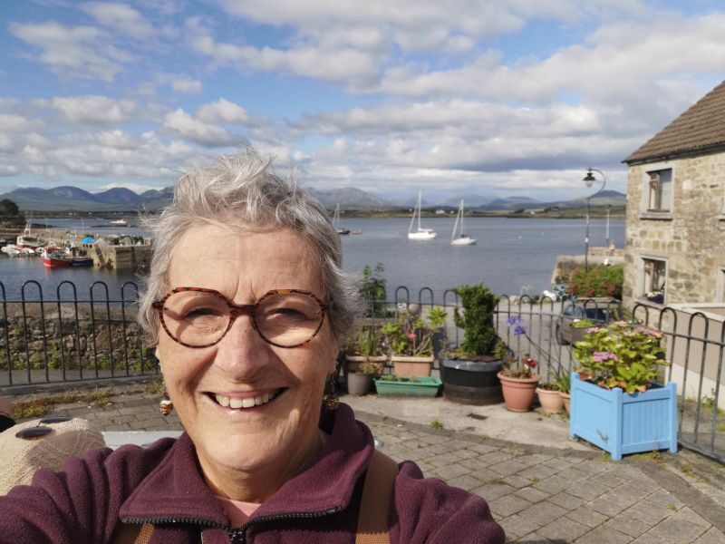
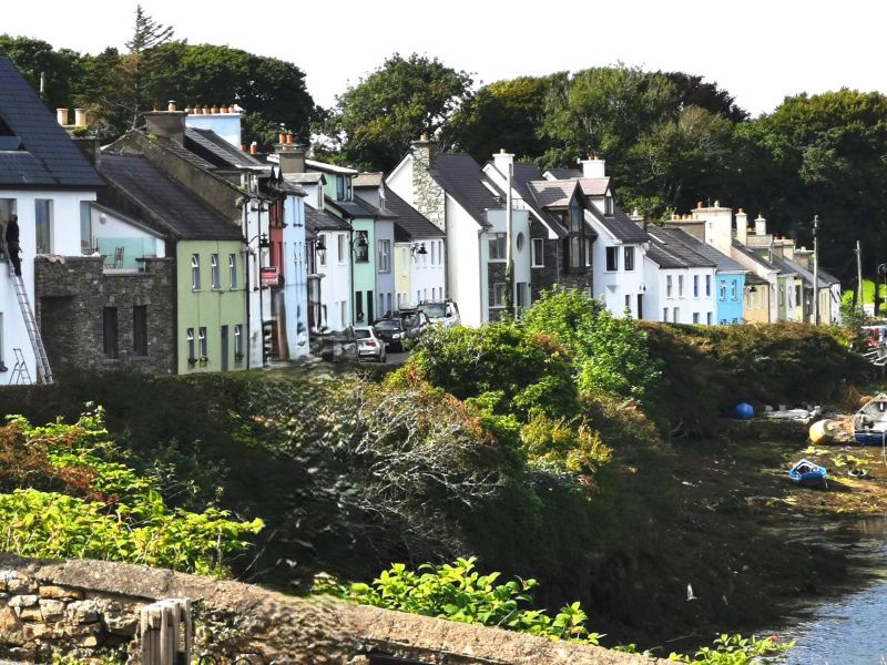
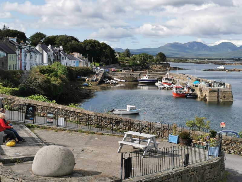
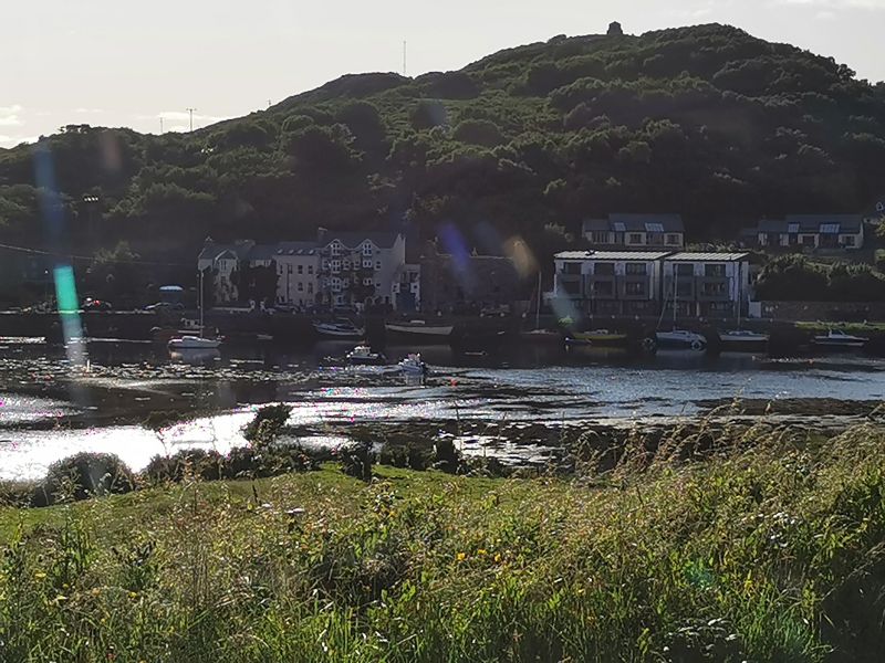
Roundstone – a Village of Artists and Artisans
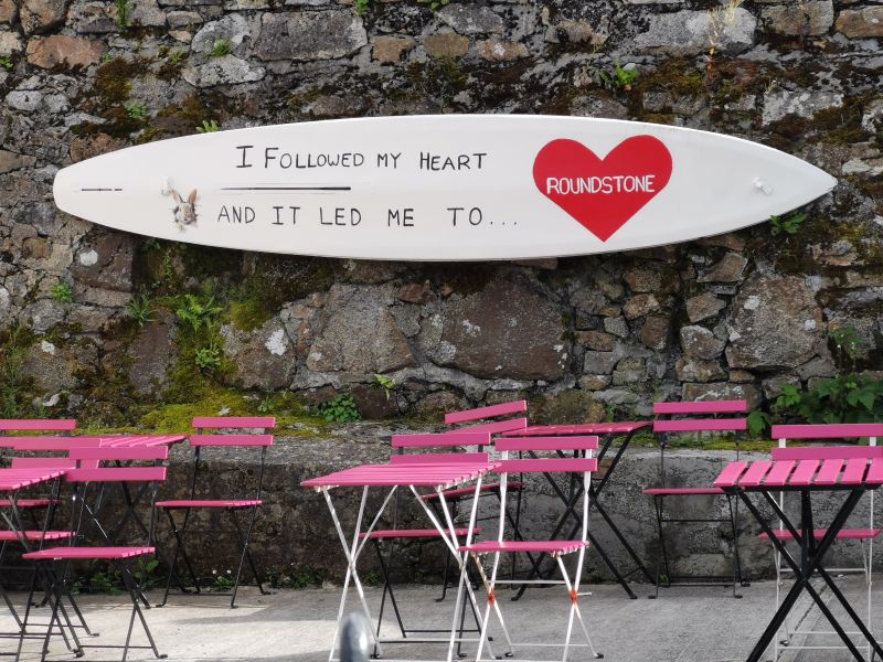
Why did we choose to stop at Roundstone? While researching this trip, I happened upon information that caught my eye. The village of Roundstone, coming from the Irish name ‘Cloch Na Ron’ or ‘Rock of the Seals’, is pretty, idyllic, loved by poets, artists, writers, and tourists with rows of coloured houses, a small but atmospheric harbour, intimate, cosy cafes, and craft shops. With my interest piqued, I read more, looked at photos and paintings, and fell in love with this little village with stunning views of the surrounding ocean, islands, hills, and mountains.
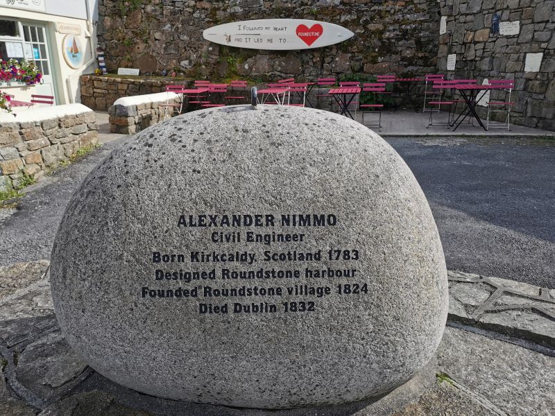
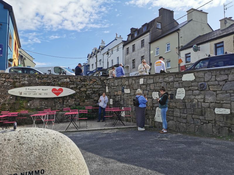
Roundstone came into being in the mid-1820s as one of the tasks of Scottish engineer Alexander Nimmo, who was to build houses, roads, and harbours in the West of Ireland (including Bearna) to enable fishing as a way of life. Initially settled by Scottish fishermen and their families, following Catholic emancipation in 1835, a Franciscan monastery was built nearby.
The village is known for its remarkable seascapes, a traditional arts centre, local pottery, quarrying and farming, all of which contribute to the local fare. Nearby, at the foot of the Errisberg mountain, are white sand beaches with crystal clear waters, attracting tourists to the area. In July and August, traditional Irish music, song, and dance from the Connemara region are played in the town.
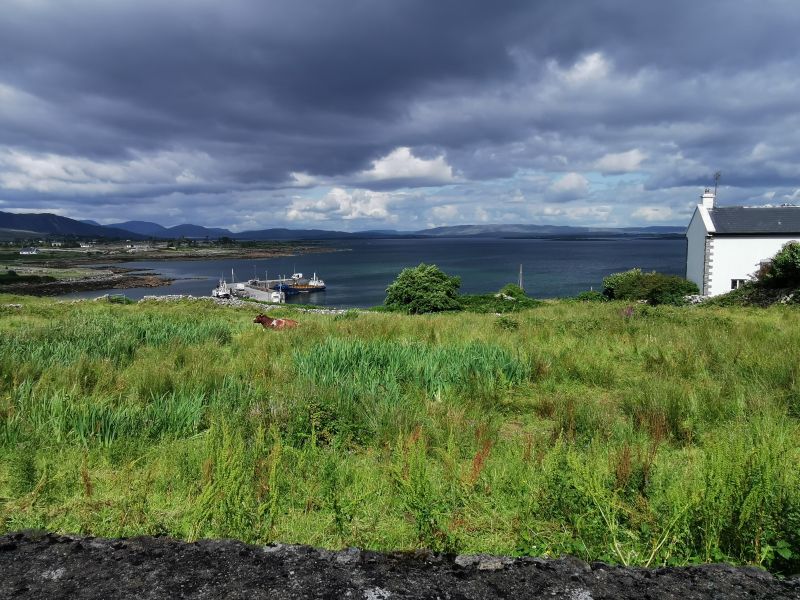
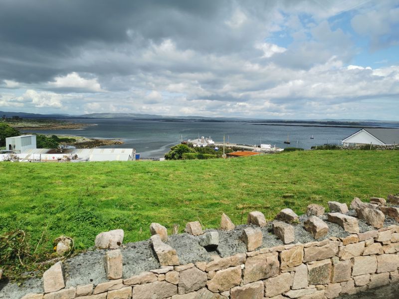
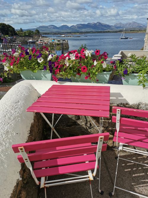
Roundstone is 76km (47mi) northwest of Galway and 18km (11mi) Southeast of Clifden, our destination for the night. We parked the camperavan and bought supplies at a nearby shop before exploring the main street. We were intrigued by the bright pink tables and chairs in the courtyard of a café (unfortunately it was closed), and read many little plaques and quirky memorials about Roundstone before enjoying the views.
Remember to open up the groups of photos to see them fully!
Eventually we entered a small pub to buy wine and Guinness, and had a chance encounter with two men. One the men knew the area we came from in Aotearoa New Zealand, having worked there, and the other man had worked at a company in England that Dionee had worked in many years ago! It was a fun time connecting with the locals, but we needed to move on towards our destination.
Read about Roundstone Village here: https://roundstonevillage.ie/
Bringing Roundstone alive in video
Roundstone towards Clifden
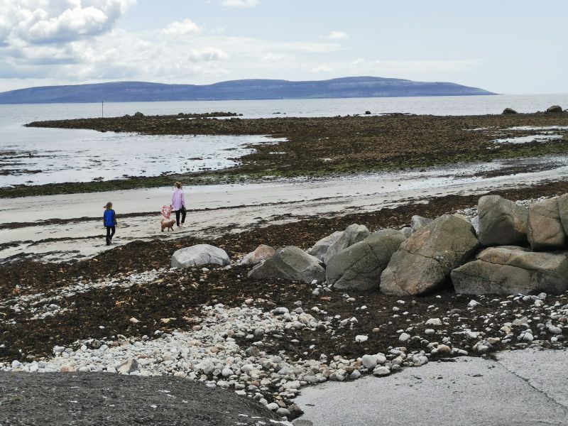
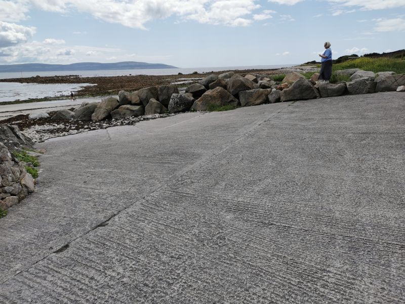
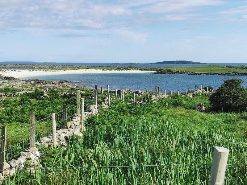
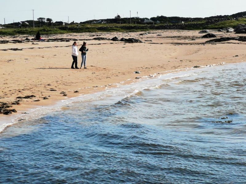
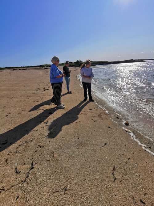
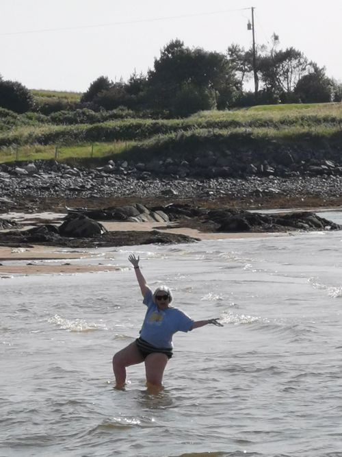
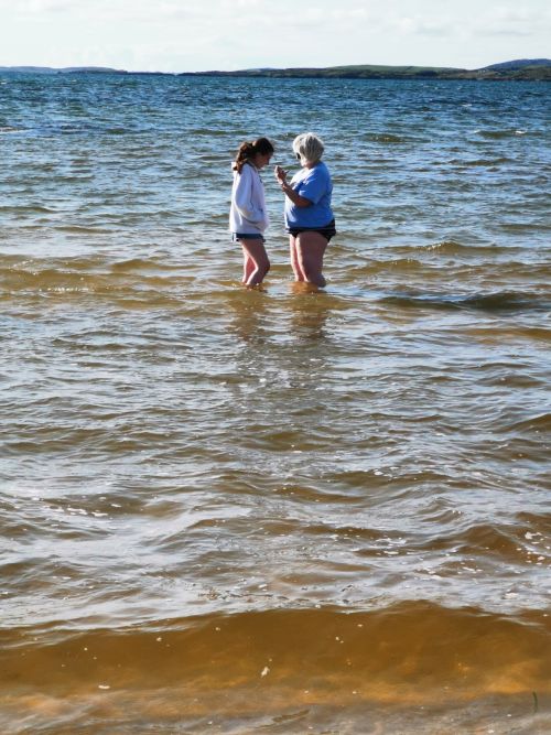
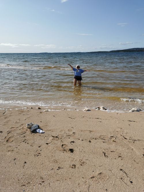
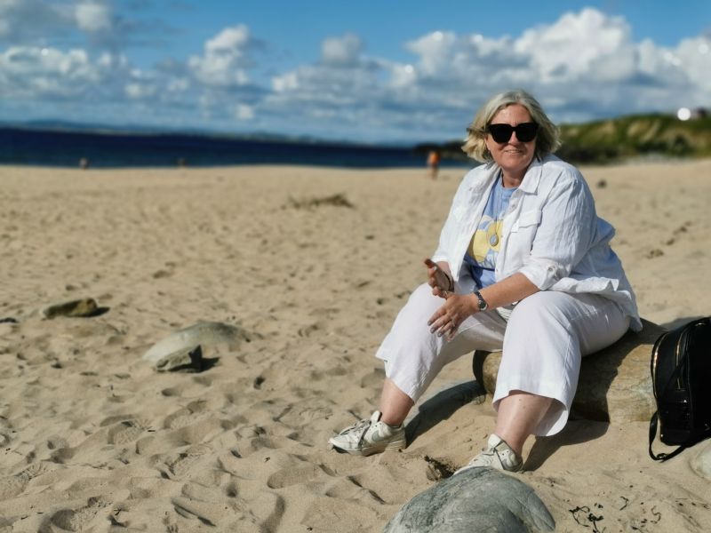
Passing the lovely beaches, the road took us inland before emerging at the coast again. We crossed an isthmus near Ballyconneely and stopped at a beach at Mannin Bay Blueway and Coral Strand. Dionee and Matilda wandered into the water while Francesca and I kept our feet in the sand.
Remember to open up the groups of photos to see them fully!
As the sun started to set, the views over the small bay were serene. We drove on into Clifden, passing the ‘Alcock & Brown Memorial’ (Dionee, Fran, and Mil’s last name being Brown, it piqued our interest) which we later discovered, commemorates the landing place of the first non-stop transatlantic flight, by the pair, in June 1919, at Errislannan in Connemara. Nearby is a monument to Marconi, where they transmitted their success to London after the 16-hour 12-minute flight in adverse conditions to win the £10,000 reward for a Daily Mail competition to complete this non-stop journey in under 72 hours.
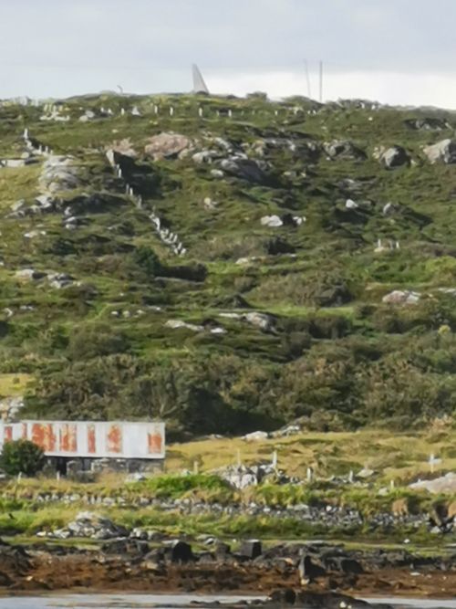
The coast line nearing Clifden and the memorial, looking like an airplanes tail rising into the sky.
Read more here: https://www.irelandwesttours.com/locations/connemara/connemara-locations/51-alcock-and-brown-monument
Overnight in Clifden Campsite and Caravan Park
We passed through Clifden township with a plan to return the following morning as we made our way north to spend the night in the Clifden camping ground. Rural, rustic, and nicely situated in the country, we slept well.
Clifden Campsite & Caravan Park: https://clifdencamping.com/
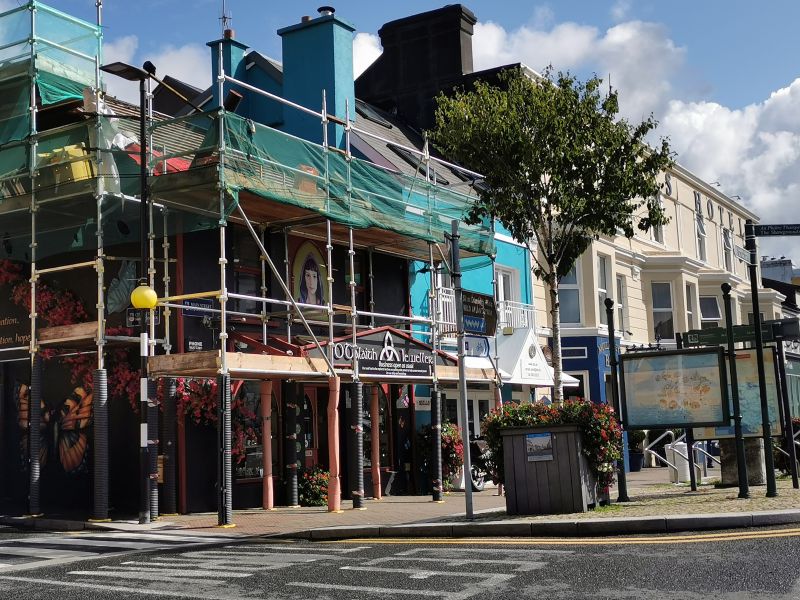
Clifden
The following morning, we drove into Clifden and at the famous O’Dalaigh Jewellery shop, where you can watch the craftsmen working with designs thousands of years old, the girls each bought a Claddagh ring to commemorate their first trip to Ireland. These traditional Irish rings, ‘fáinne an Chladaigh’, have three primary features: a heart to represent love, a crown to represent loyalty, and two clasped hands to symbolise friendship. The way they are worn signifies whether you are single or married. This quaint Irish jewellery shop was under renovation and wrapped in scaffolding, so unfortunately we didn’t get a great photo to share.
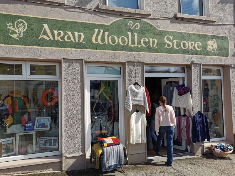
We checked out several shops as they opened for the day, and I bought some warm woolen knitted socks made in the Aran Islands for Manfred.
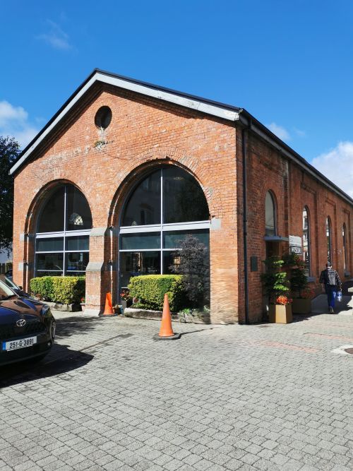
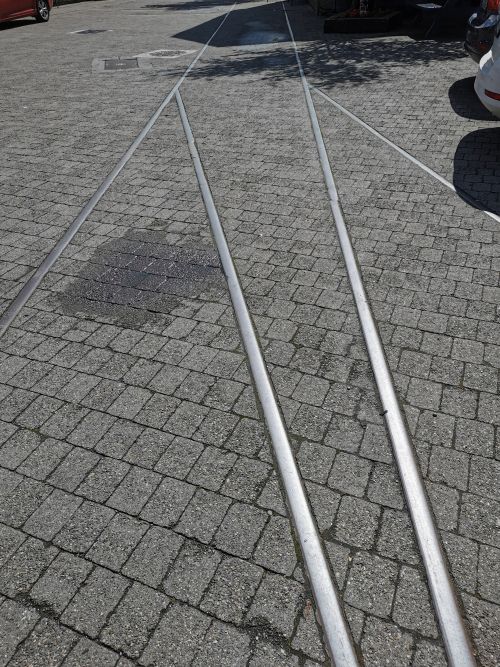
Returning to the van, we happened upon the old railway area where the original railway lines have been preserved in the paving, and the main building and surrounds have been converted into a chic shopping and cafe area creating a niche market.
What can adventurers do in the Clifden area?
The area of Clifden is famous for walking trails in the Connemara National Park, cycling loops to Roundstone and the Errishlannan peninsula, pony trekking on the beach and through the moors, golf, ocean and river swimming with numerous lovely beaches, and fishing in the many private lakes (permits required). You can also go out on a fishing boat expedition from the local port.
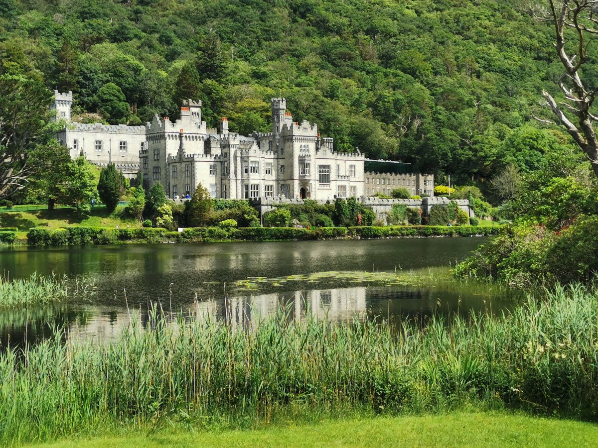
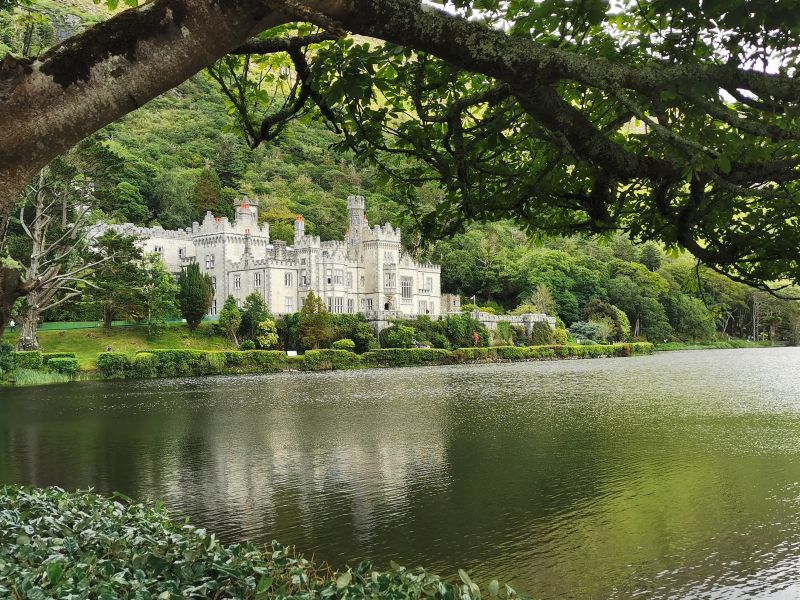
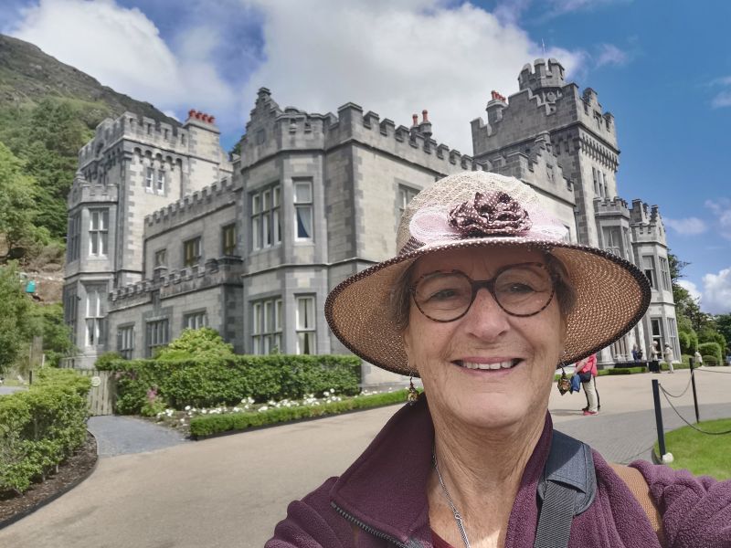
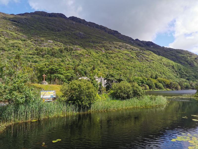
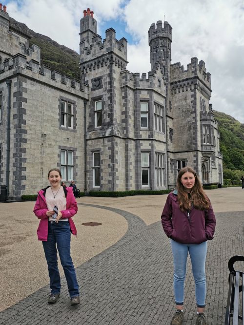
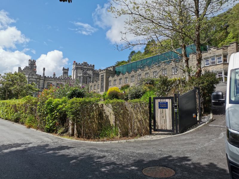
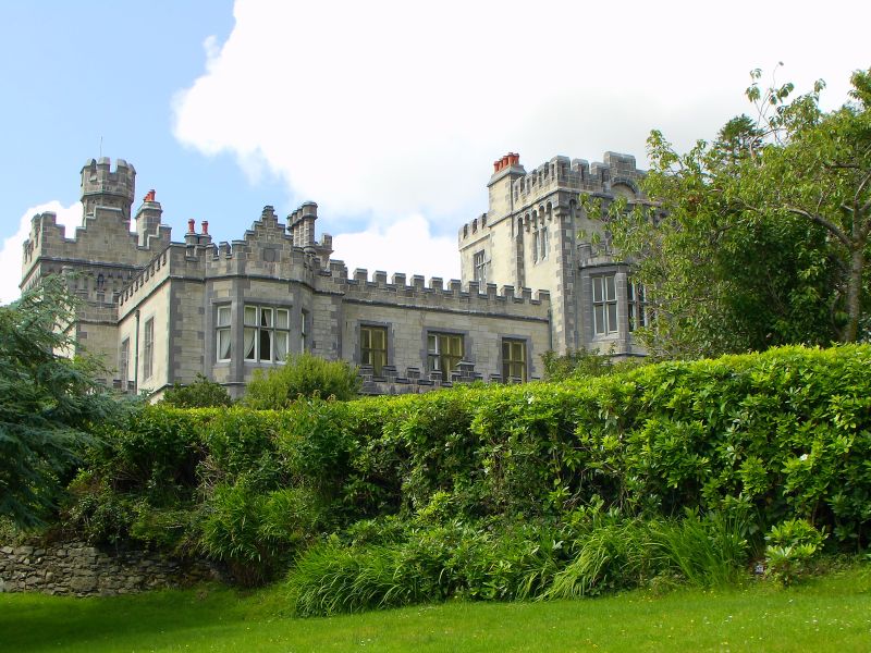
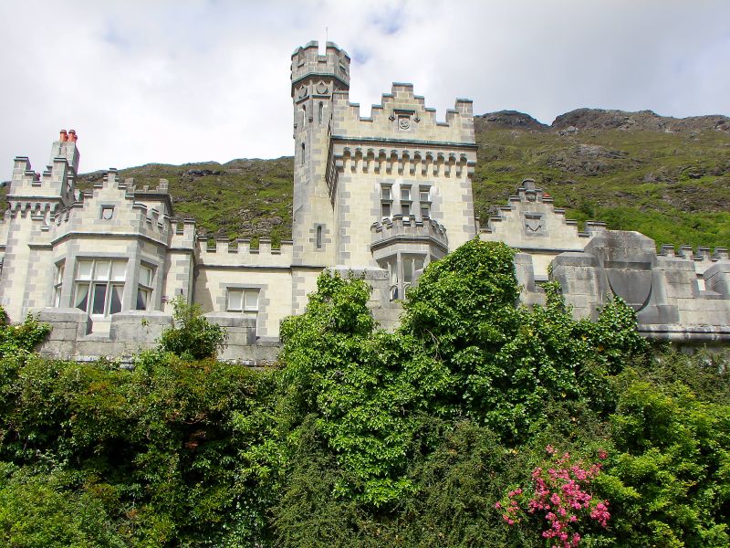
Kylemore Abbey & Victorian Walled Garden
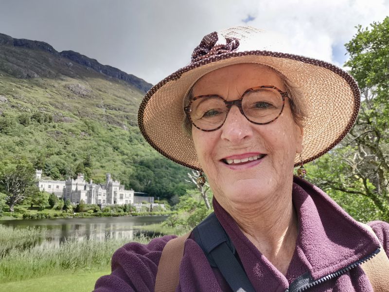
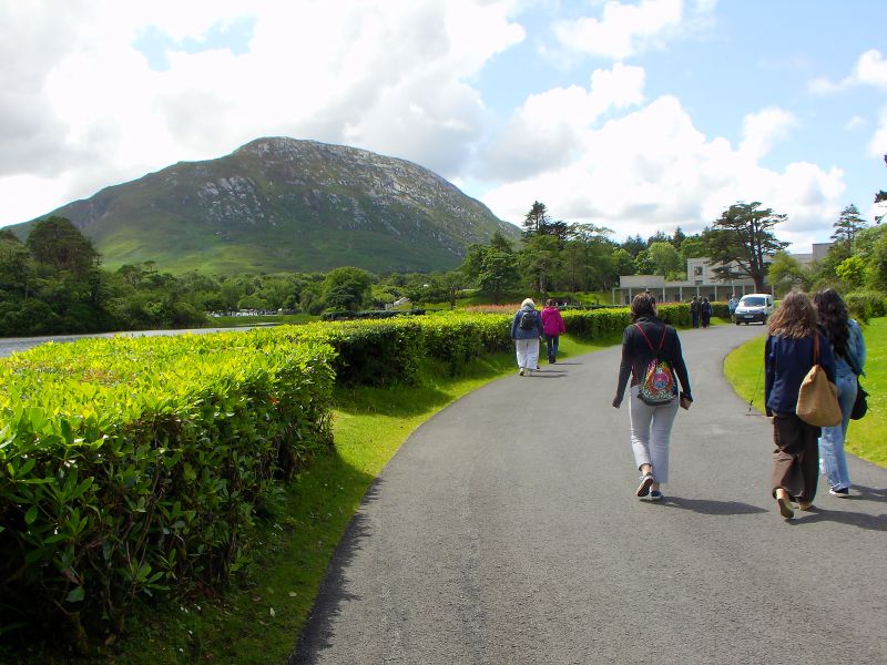
Our next destination, ‘Kylemore Abbey & Victorian Walled Garden’, was only about 18.5km (11.5mi) to the north, and we were really looking forward to this day. It rained a little on the way, but eased to being just a little cloudy, so we were relieved to have good weather for this excursion.
Remember to open up the groups of photos to see them fully!
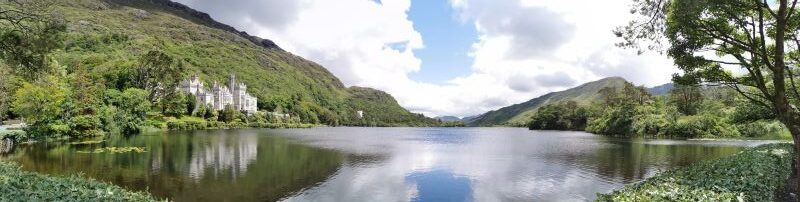
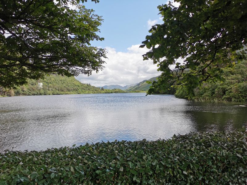
The drive from Clifden to Kylemore Abbey & the Pollacapall Lough
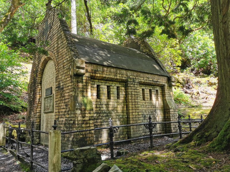
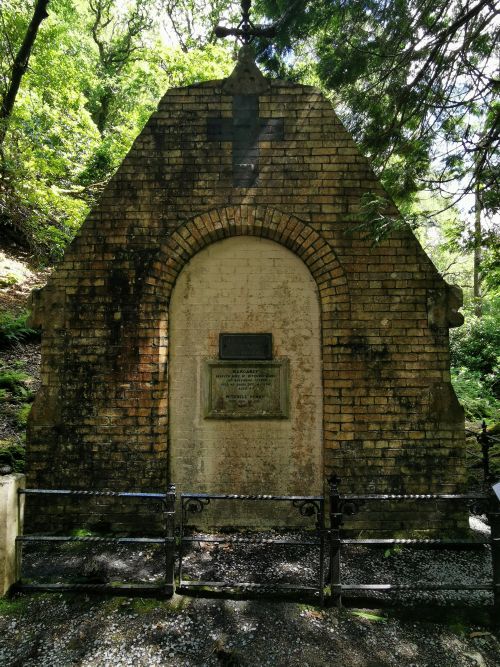
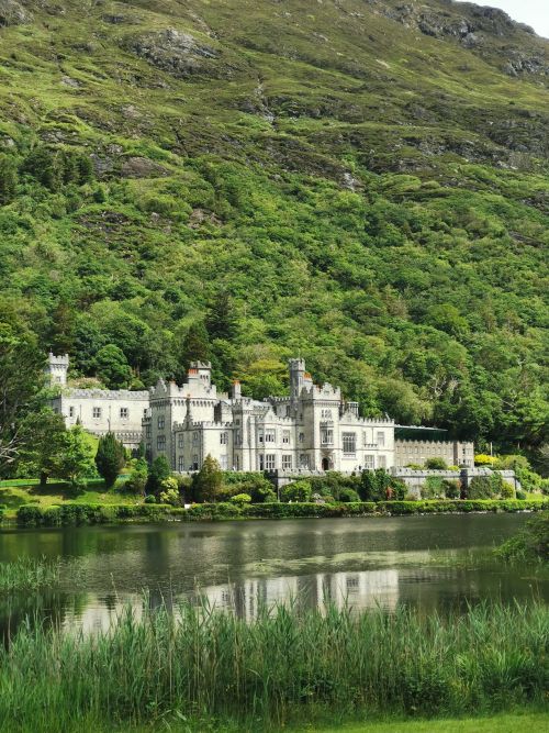
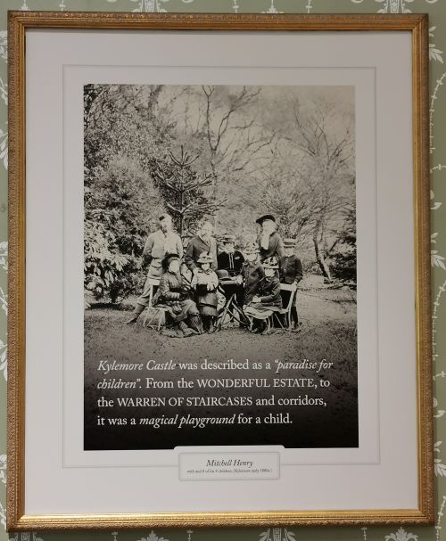
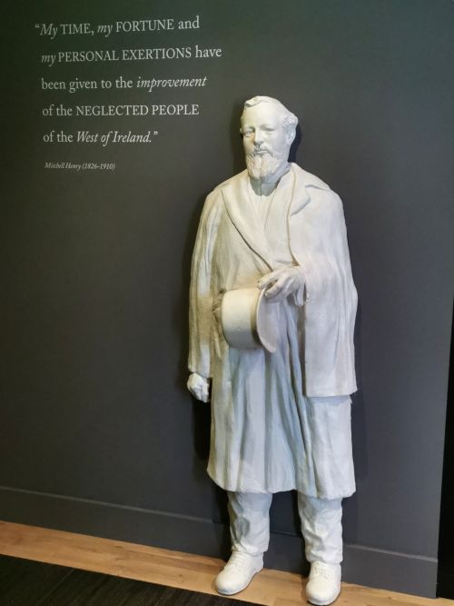
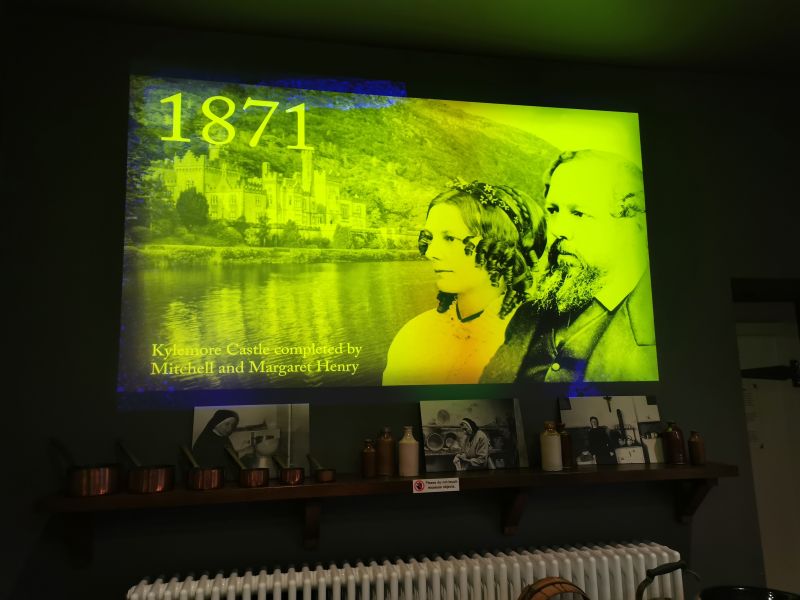
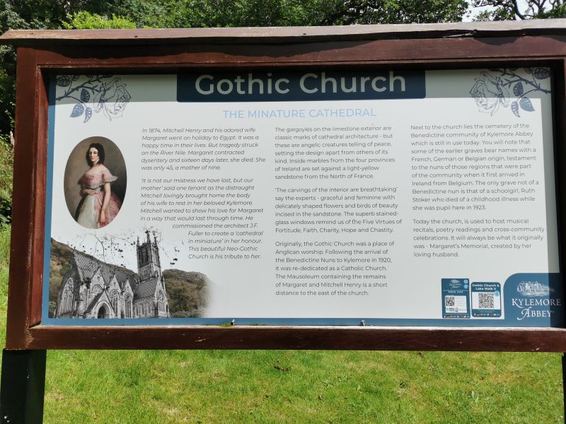
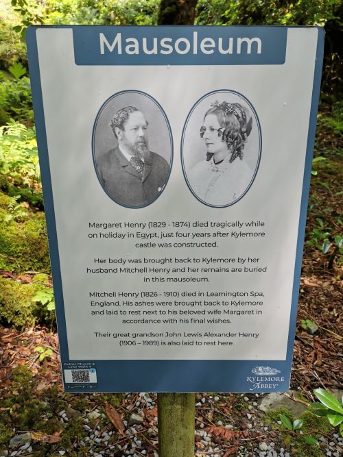
The romantic neo-Gothic Abbey, built on barren, rugged landscape in 1868, is magnificent with an amazing story of love, tragedy, and reinvention as a Benedictine monastery. Dr Mitchell Henry and his wife Margaret from Manchester, England, fell in love with this spot on their honeymoon in the 1850s. Henry built the Abbey as a stately home, surrounded with lush bushland. They lived here with their 9 children until Margaret’s untimely, tragic death from a fever in Egypt in 1874.
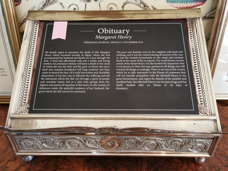
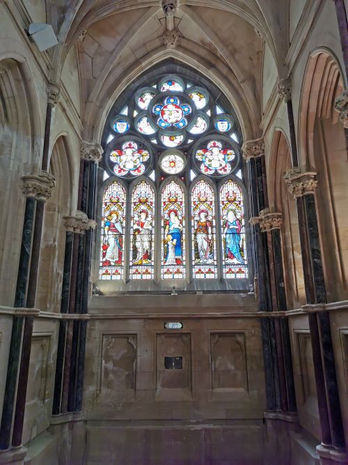
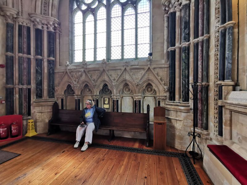
Henry bought Margaret’s body back to Ireland and built a mausoleum where, many years later, his ashes were interred after his death so they could be together again. In memory of Margaret, he also built a mini cathedral in the form of a Gothic church in a peaceful grove by the lake.
Henry then fell on financial ‘hard times’, and Kylemore Abbey was purchased by the Duke and Duchess of Manchester, who renovated much of the inside. In 1920, just after WWI, Kylemore Abbey was purchased by the Benedictine nuns who had fled from Ypres in Belgium. Founded in Ypres in 1665, the Benedictine nuns live by the principles of live, pray, and work.
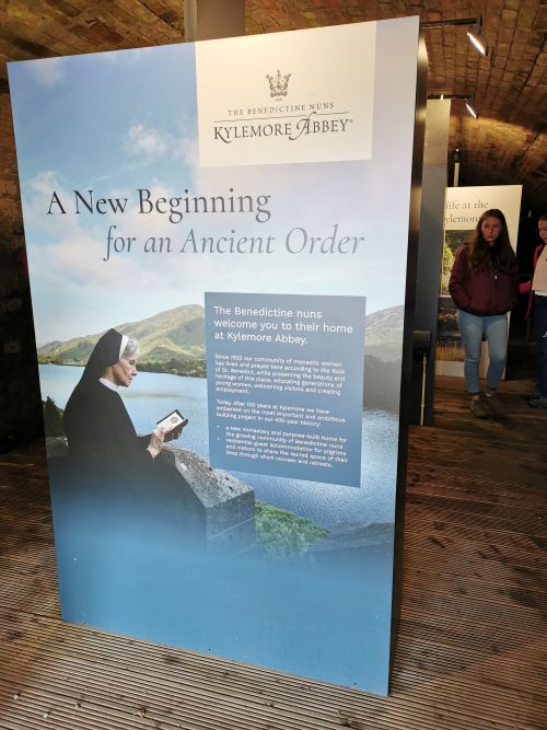
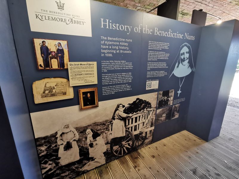
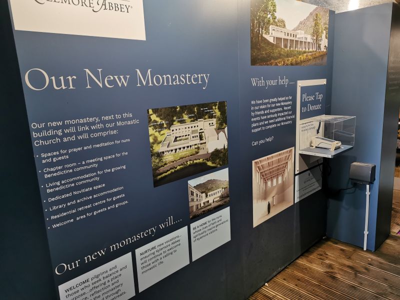
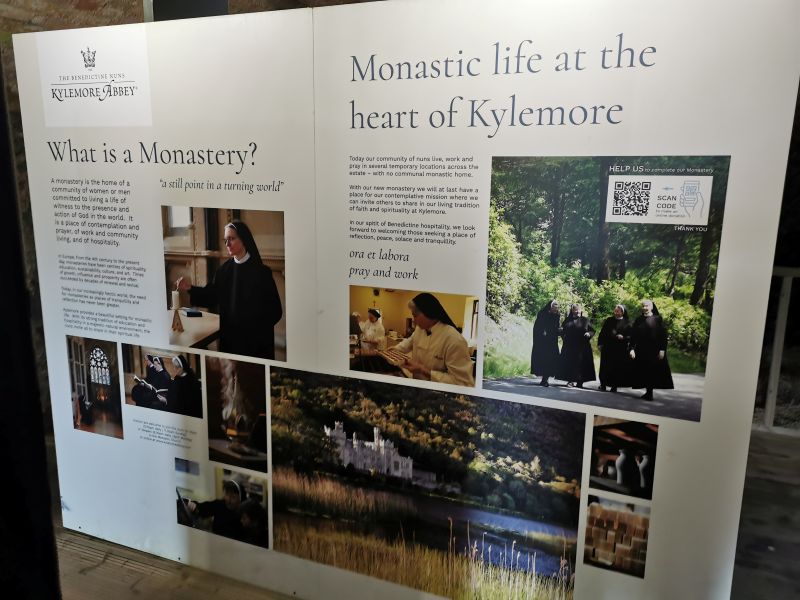
Information boards about the Nun’s at Kylemore Abbey
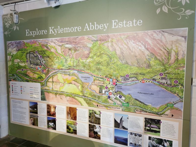
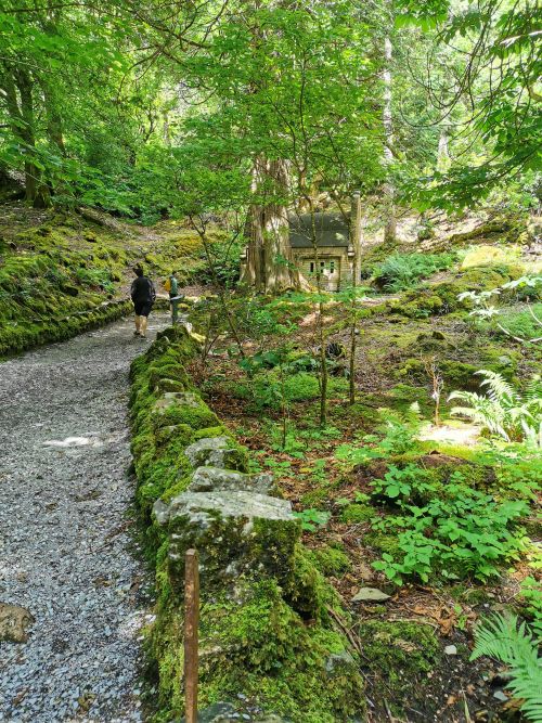
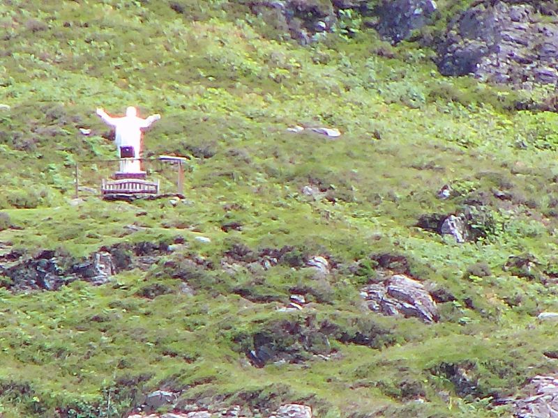
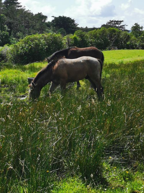
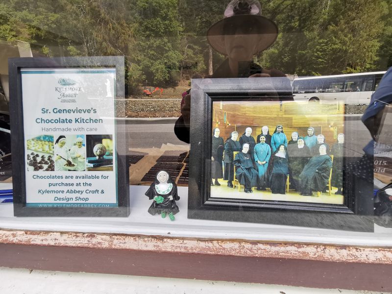
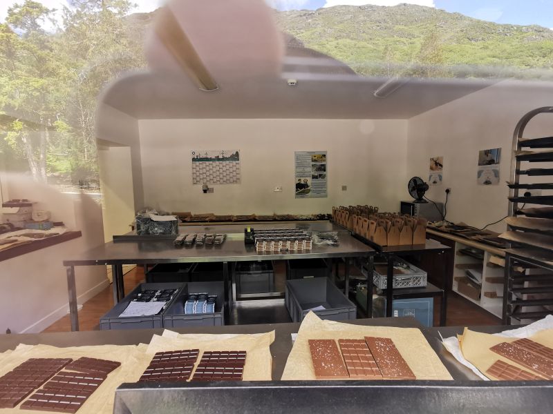
Included in the complex are the 6 acres of Victorian Walled Garden built in the 1800s and lovingly restored by the Benedictine nuns during which time the Abbey was a prestigious girls’ boarding school, which closed in 2010. The Connemara ponies and the walking trails beside the lake to the mausoleum and Gothic church, and up the mountain behind to view the Sacred Heart statue high above the Abbey, are features to be enjoyed. The nuns have not been idle and have built a beautiful new chapel, chocolate kitchen, and craft and design shop, where many items such as the chocolate, soap, jewellery, and gifts are sold. There is also a tea house where a beautiful meal can be eaten either inside or out on the terrace.
Remember to open up the groups of photos to see them fully!
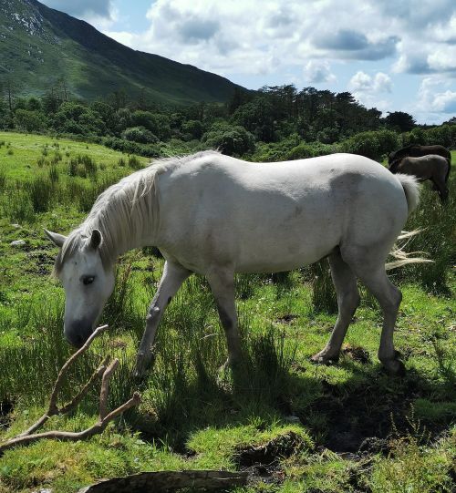
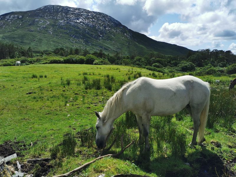
Kylemore Abbey grounds and a Connemara horse
Exploring Kylemore Abbey and surrounds
On arrival at the Abbey, we were stunned by its serenity and breathtaking beauty as we took our first views across the lake from the walkway to the entrance gates. We stopped by the kitchen and ate a hearty lunch to fortify our bodies and souls in readiness for our time here in this tranquil but busy tourist destination.
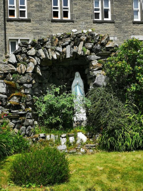
First, we visited a little grotto to learn about the history of the nuns’ arrival and innovations.
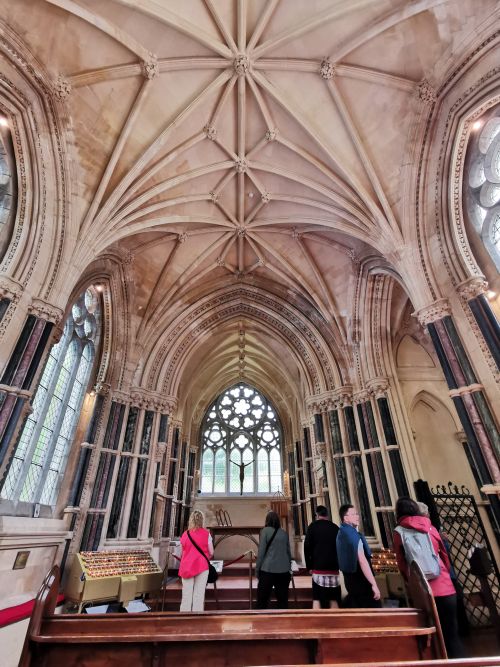
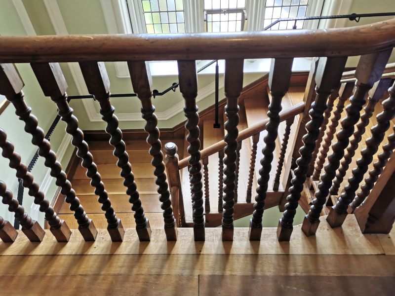
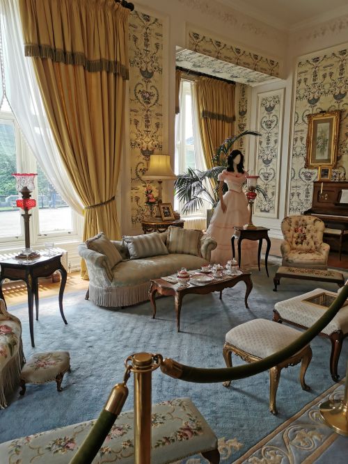
We sat silently in their new chapel before touring the house, marvelling at the restoration of the furniture, clothing, library, children’s paraphernalia, dining table and dining sets, ornate wooden stairways, intricate carvings in the ‘gun room’, and much more.
Remember to open up the groups of photos to see them fully!
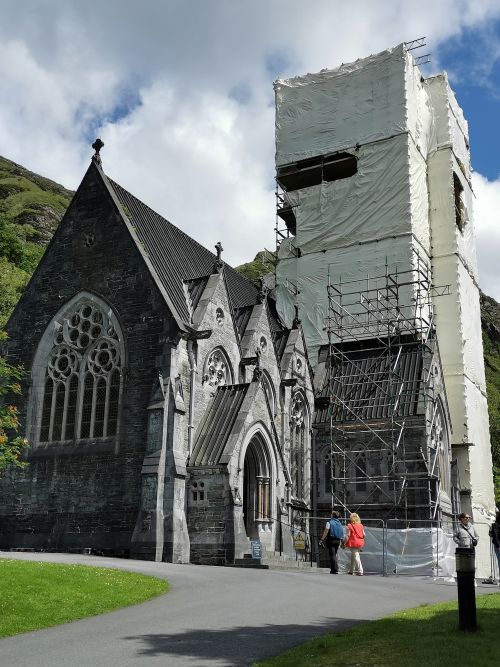
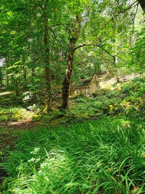
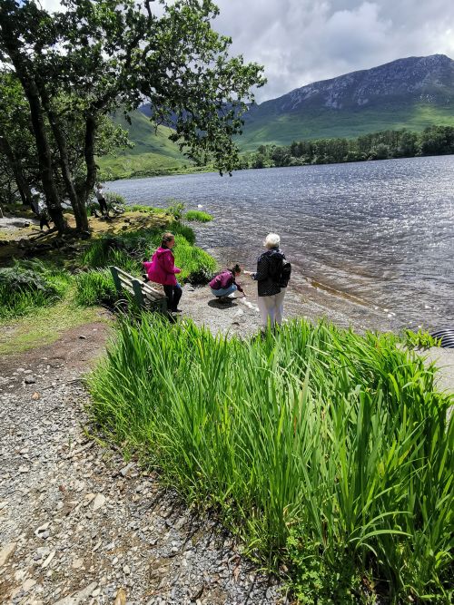
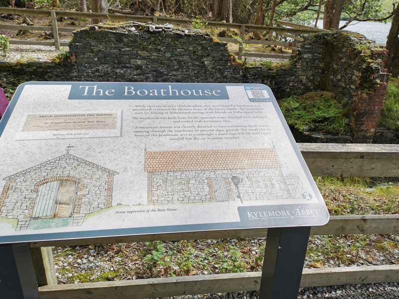
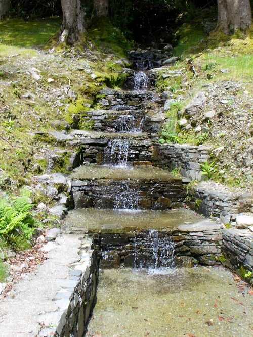
Back out in the grounds, we walked to the sombre mausoleum, stopping by the lake and the site of the old boat shed, before entering the church. Under outside renovation, the church still emanated a serene feeling of love and devotion.
Remember to open up the groups of photos to see them fully!
For our amusement, we walked to the ‘Giant’s Wishing Stone’ which tells the story of Cú Chulainn and Fionn McCool, two of Ireland’s mythological heroes. Here, with your back to a triangular-shaped rock, you throw a pebble over the rock and repeat a ‘wish’ to yourself. This ended up in hilarity as some pebbles made it over and others fell back down onto our heads or the ground beside us.
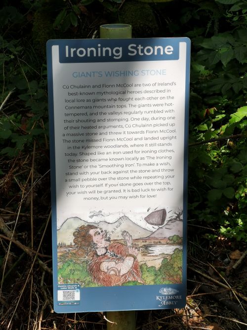
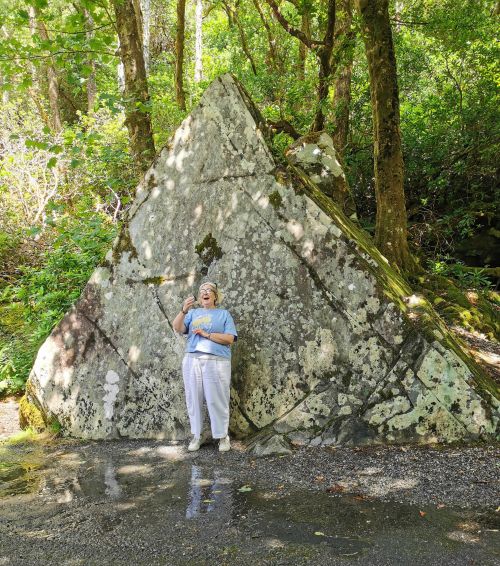
At the Giant’s Wishing Stone
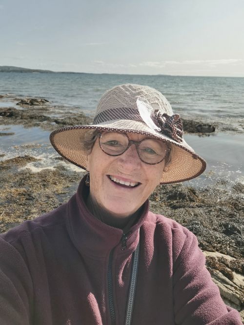
Impressions of an Irish road trip
After meandering back through the trees by the lake, we caught the shuttle bus up to the Victorian gardens to see the pure-bred Connemara ponies, which came up to the fence to be hand-fed and admired.
Once back, we passed the room where the chocolate is made. Unfortunately, it was closed; so, like naughty schoolgirls, we peeked through the window and took illicit chocolate photos!
We spent some time browsing in the large but lovely craft shop before going back to the van to move towards our next destination, Achill Island and the Achill Sea Caves camping ground.
Read more fascinating information about Kylemore Abbey here: https://www.kylemoreabbey.com
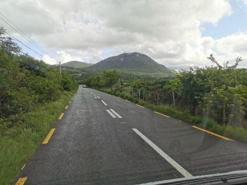
Along the road to Westport and Achill Island
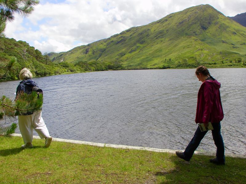
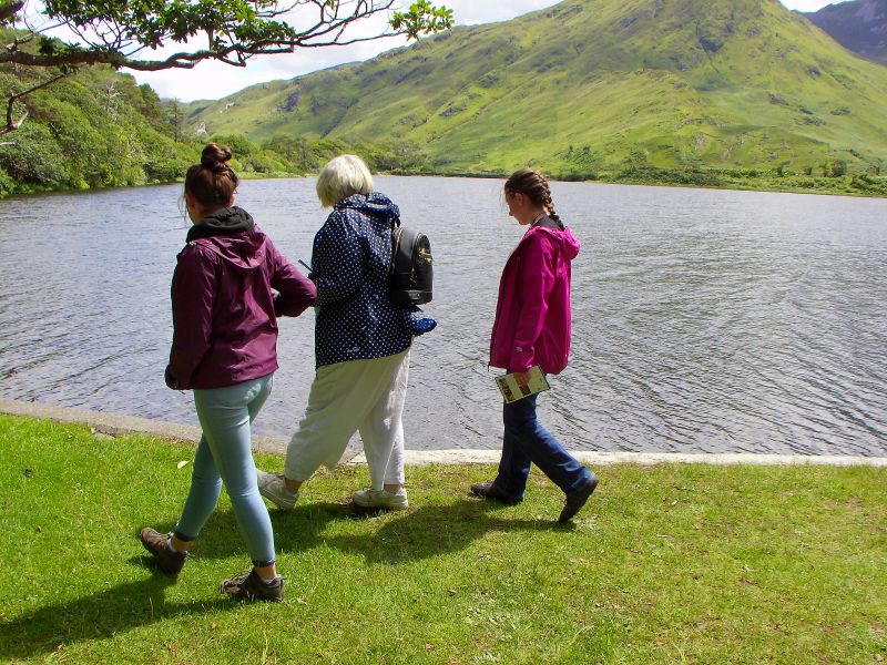
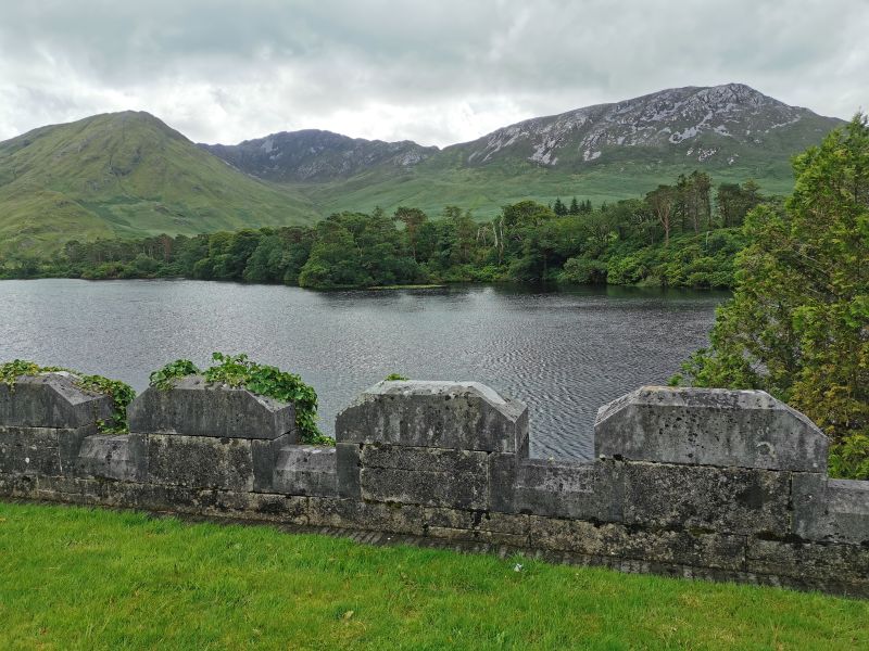
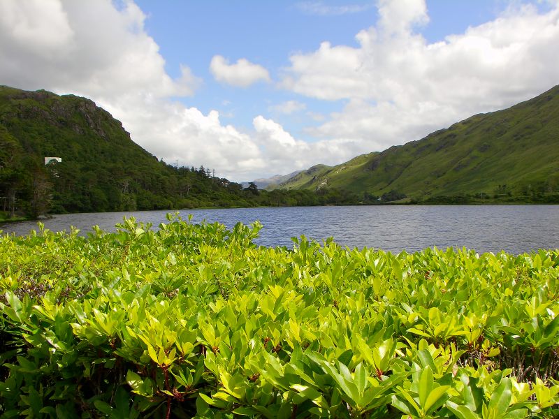
The drive beside Kylemore Lough after leaving Kylemore Abbey
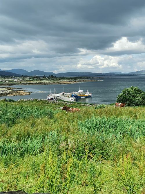
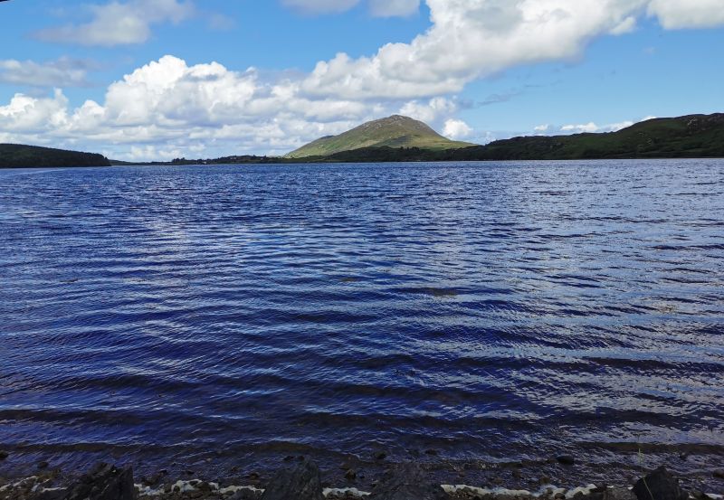
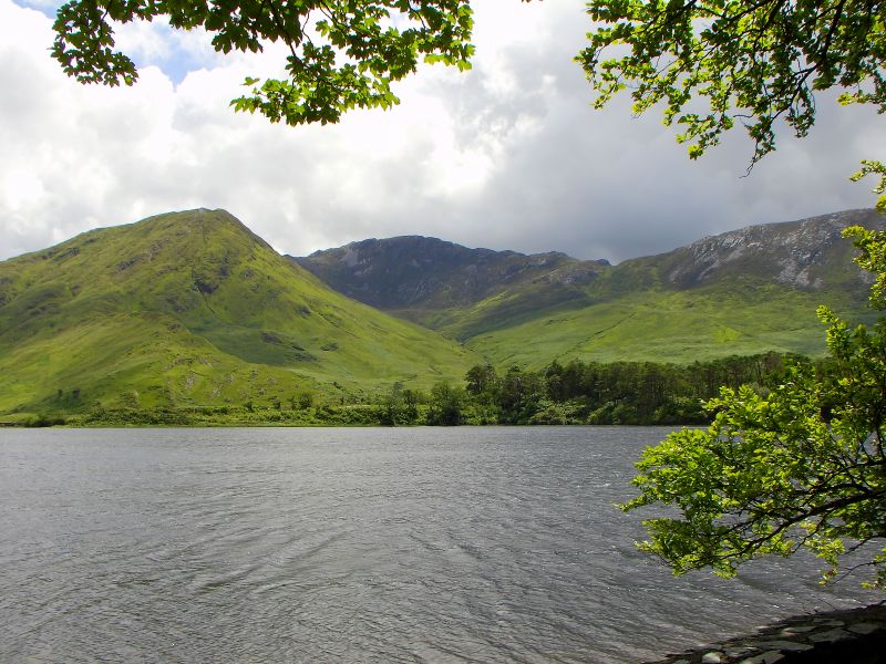
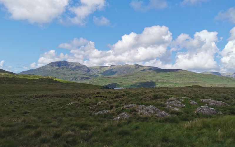
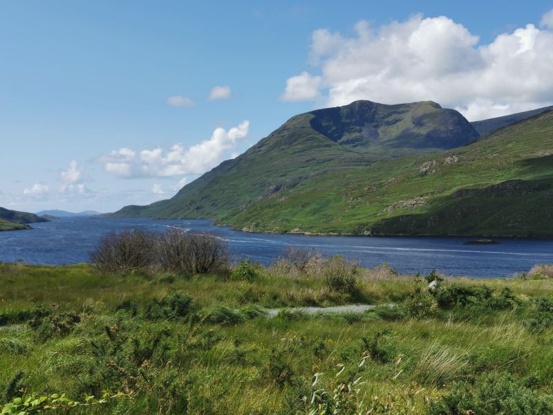
The mostly sunny day added to the beauty as we drove along with shadows on the waterways and road. We came to Killary Fjord, sometimes called a sea-loch, as it is disputed as to whether it is a true fjord. Boat trips can be taken from here and we could see the salmon and mussel hatcheires as we drove to the head of the fjord, loving the rural scenes as we travelled along—one of the beauties of being in the campervan and the slow travelling is time to see so much more. Killary Harbour (An Caoláire Rua) is Ireland’s only fjord, 16km (10mi) long and at its centre is over 45m (148ft) deep. Otters are sometimes seen in this sheltered waterway along with seals, dolphins, and even sharks. The bird life includes Mallard ducks, grey herons, geese, plovers, and swans.
See some great sights on these links: https://killaryfjord.ie/
https://www.ireland.com/en-nz/destinations/county/galway/killary-harbour
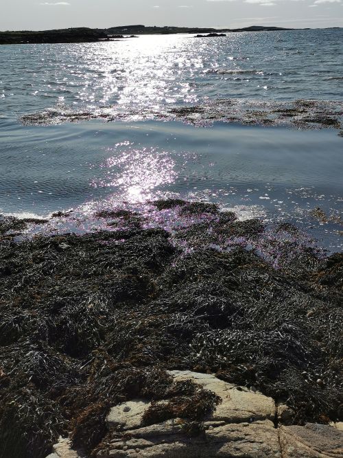
Beautiful Killary Fjord
Remember to open up the groups of photos to see them fully!
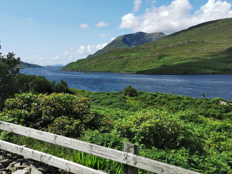
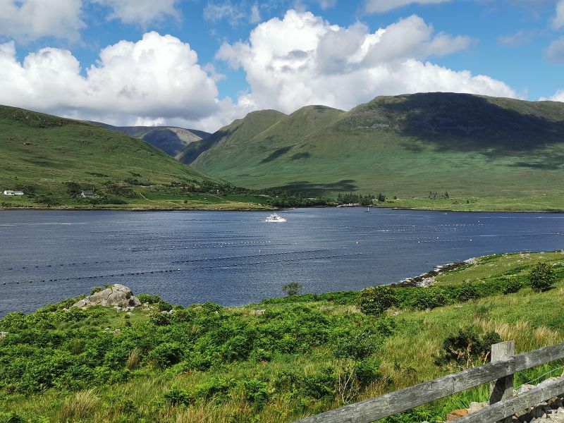
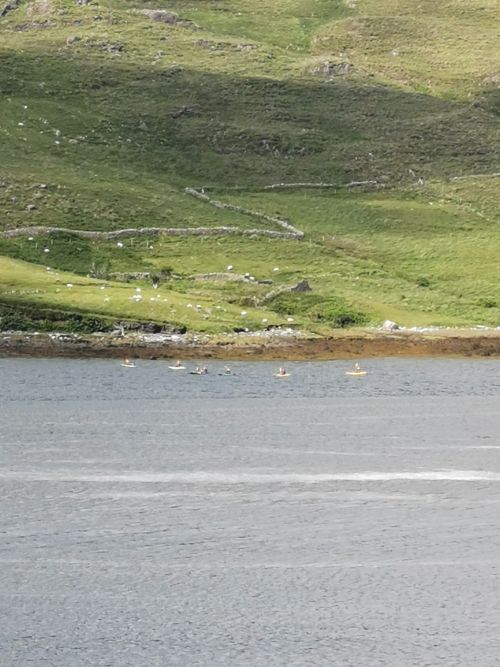
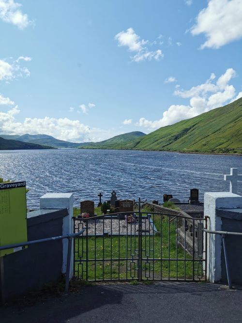
From first views of Killary Fjord, the catamaran, kayakers and the Leenane Cemetery near the head of Killary Fjord
Passing through Westport
We arrived at the picturesque, heritage town of Westport, known for its original town planning, lively atmosphere, traditional pubs, boutique shopping, and outdoor activities. Many people were out enjoying the late afternoon sun, creating a busy, bustling central town scene. One of the famous landmarks of this region is the ‘holy mountain’ Croagh Patrick, 764m (2,507ft), famed for hiking and the view. It is said that St Patrick fasted for 40 days on the summit in 441AD. The first church was built on the summit in the 5th century, the latest version dating to the early 20th century. Thousands make the pilgrimage each year to ‘The Reek’ as it is fondly known, but before St Patrick came, many other visitors from pagan times came to celebrate the harvest, and there is archaeological evidence of Neolithic art, signifying this has been a recognised sacred site for thousands of years.
Unfortunately we don’t have good photos of Westport, Croagh Patrick and Clew bay:
Read more fascinating history and see amazing photos here: https://en.wikipedia.org/wiki/Croagh_Patrick
https://www.ireland.com/en-nz/things-to-do/attractions/croagh-patrick
And so to Achill Island
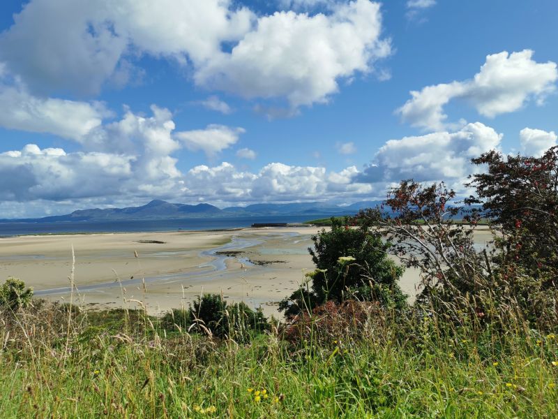
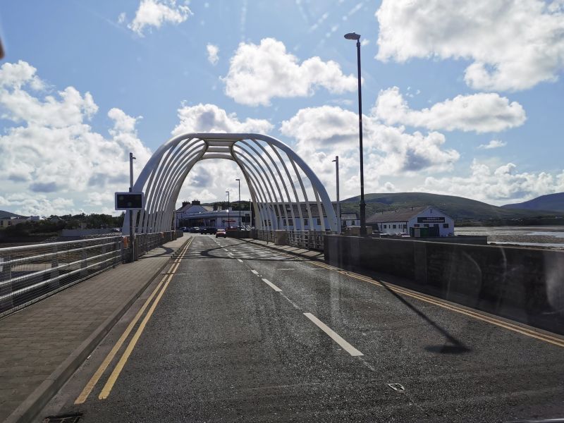
Keen to get to our campsite, we moved on passing many entrances to Clew Bay with its 365 islands; lovely beaches and coastal scenery; golf courses; and the Great Western Greenway, a popular cycle and walkway which starts in Westport. Heading west, we eventually came to the entrance bridge to Achill Island, which crosses the narrow Achill Sound that separates the island from the mainland.
Why go to Achill Island? When researching destinations for this journey, for unknown reasons, I was pulled time and time again towards Achill, eventually settling on ‘Achill Seal Caves’, the camping ground at Dugort on the northern aspect of the island, having read that the camping ground in Keel on the southern side was quite exposed and prone to high winds. The raw nature of the island attracted me to have this ‘different experience’, and having watched the movie, ‘The Banshees of Inisherin’ (not for the faint-hearted), some of which was filmed here, I had marvelled at the stark scenery and wondered ‘what it was really like?’. A sense of adventure drew me in, and so we arrived in ‘the heart of the Wild Atlantic Way. Achill Island typifies the raw wilderness of the Atlantic coastline. Soaring cliffs, windswept beaches, rich heritage and deserted boglands make Achill Island the perfect antidote to urban life‘. (quote taken from Achill Tourism website)
Read more here: https://achilltourism.com/experience-achill/
Described as a ‘fresh air playground’, we were wowed by its stark beauty. It is hard to describe in words what the eyes see, the ears hear, and the skin feels.
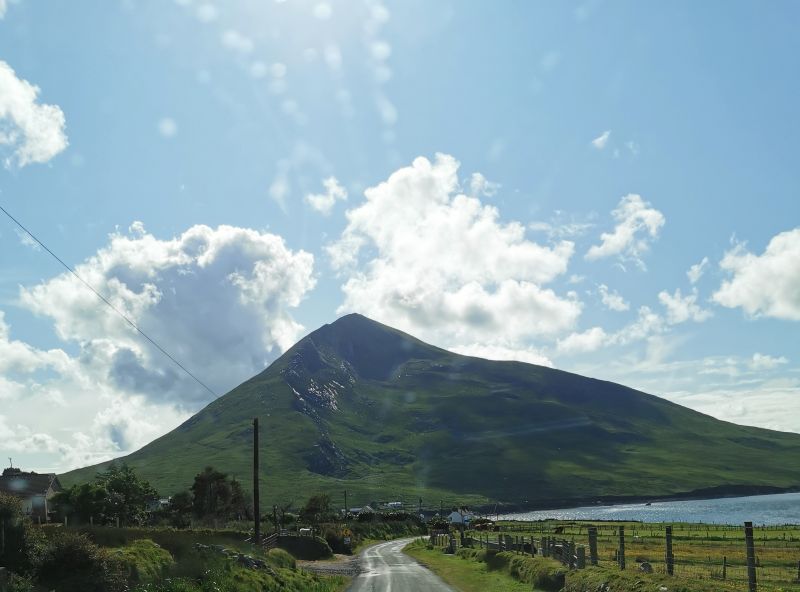
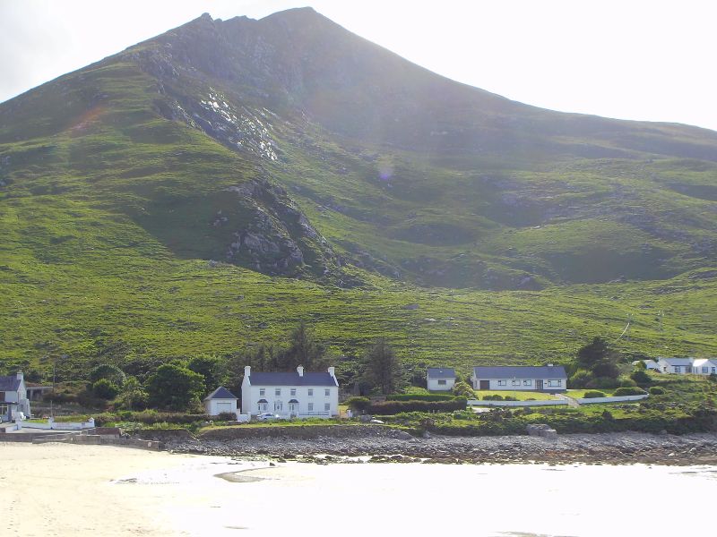
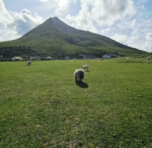
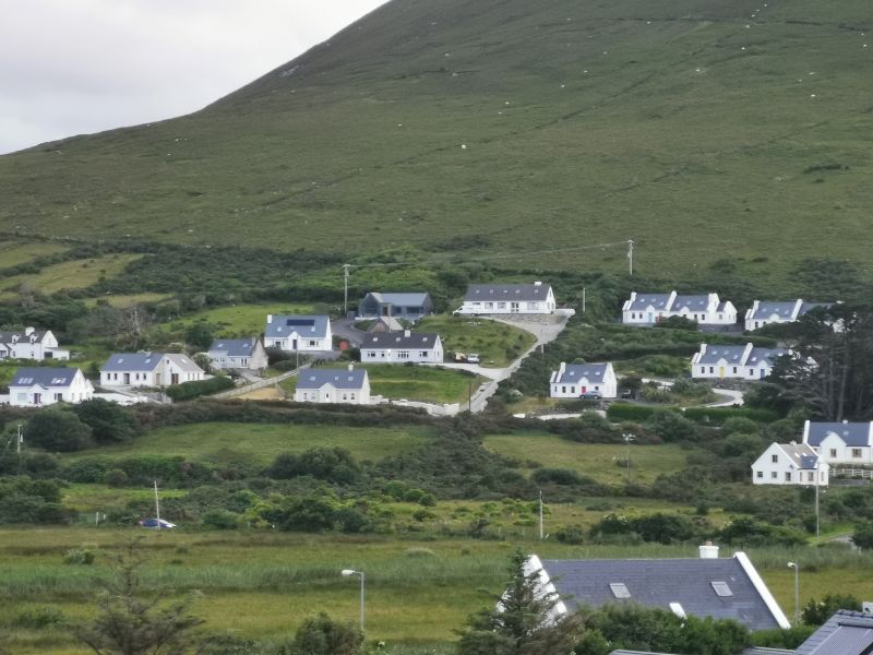
The road took us through the Dugort East Bog (think famous Irish Peat Bog) and then west to the cosy village of Dugort under the shadow of the dramatic Slievemore—a 672m (2205ft) ‘mountain’ that looks like a volcano has blown out the side, facing the golden long beach at its feet.
There are many activities to partake in on the island including walking/hiking, cycling, golf, fishing, and horse riding. There are plenty of historical sites and 5 pristine Blue Flag Beaches, along with other lesser-known ones, in which to swim or snorkel. The aquarium and many more outdoor pursuits such as abseiling, climbing, archery, and shooting are available; and, of course, you can drive the Atlantic Way.
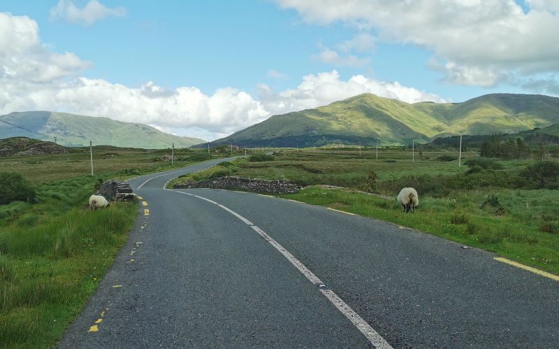
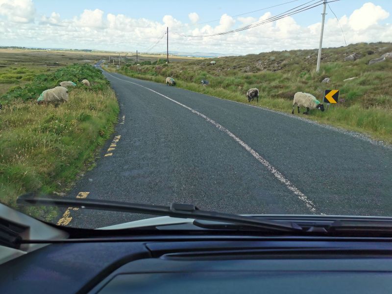
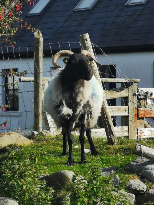
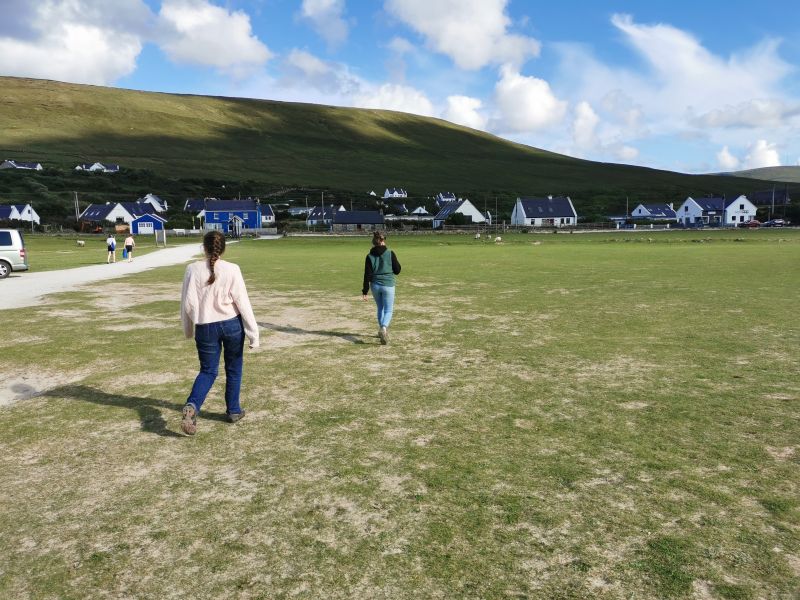
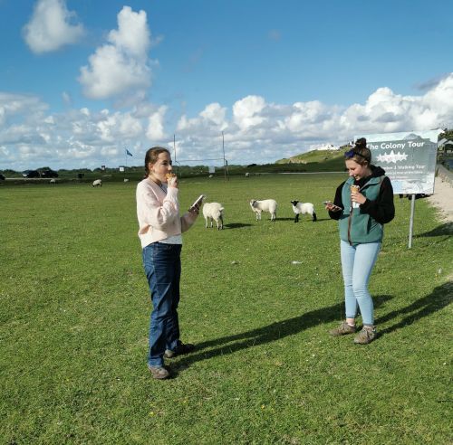
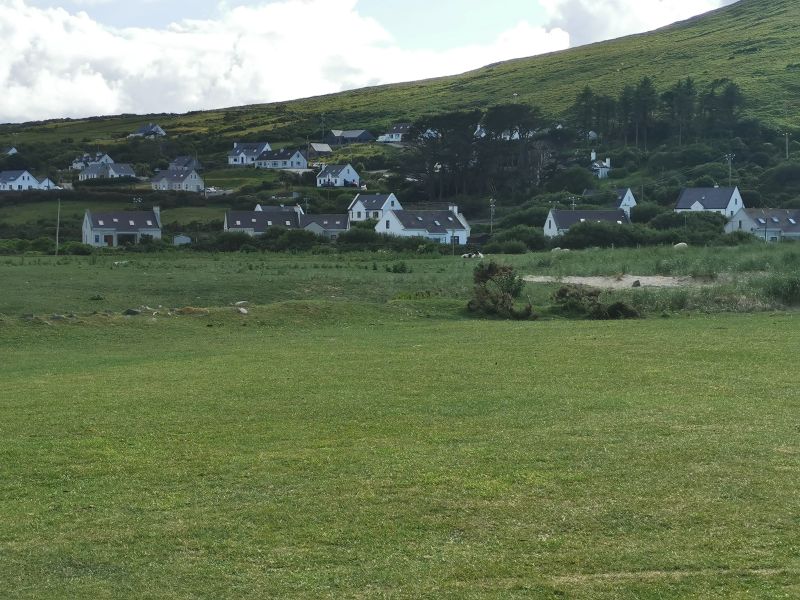
We wandered down to the beach across the grassy foreshore where ragged-looking, unshorn white sheep with black heads and long black legs roamed freely. We had seen many sheep on the roadsides on our drive, where fences were often few and far between as we approached the island landscape of black boggy trenches and grass-covered former boglands.
Remember to open up the groups of photos to see them fully!
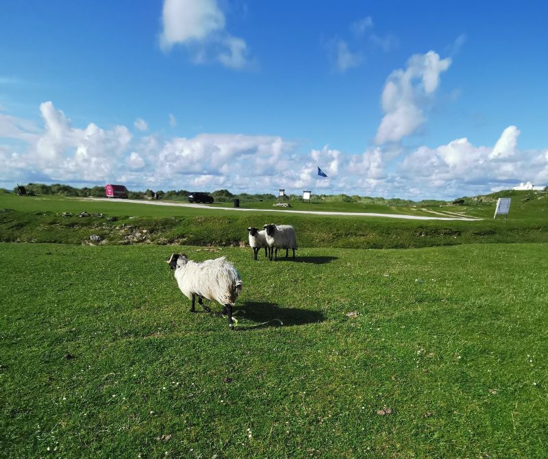
Sheep on the foreshore and greenbelt at Dugort beach, Achill Island
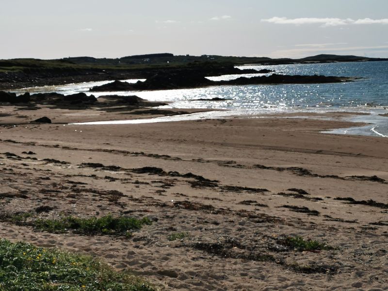
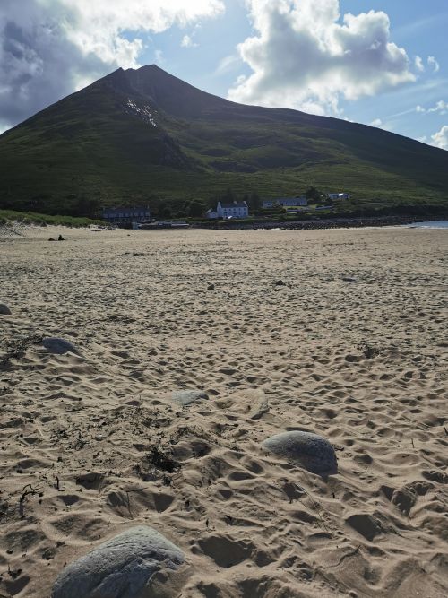
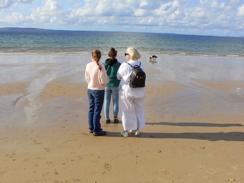
The tide was out and the beach was wide with golden wet sand where the sea had been. We sat on the soft, dry sand and drank in the fresh air, warm sun, and relaxed atmosphere of being. The girls wandered down to the water’s edge and reported that the water was ‘not bad’. We enjoyed the vista of this rural town and its surroundings with predominantly white-washed houses and grey/black roofs, the local church and the surrounding farms.
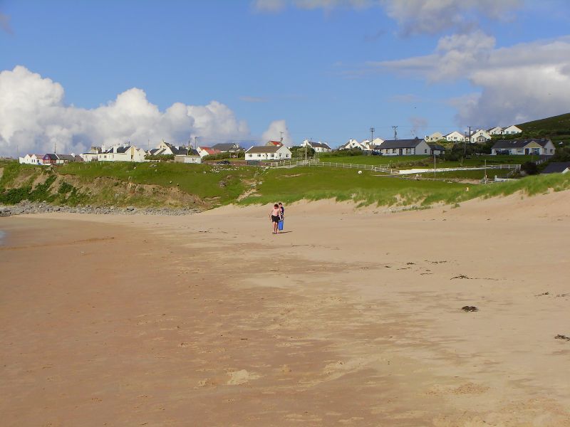
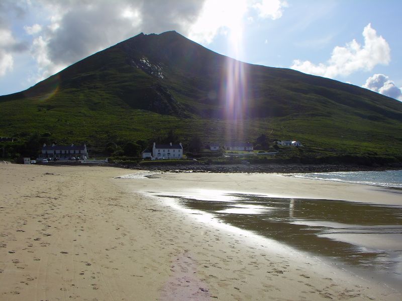

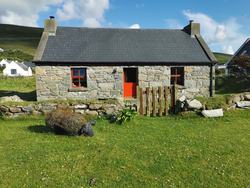
The beach at Dugort, the greenbelt and ice-cream and a stone cottage opposite the beach
It was a pleasant evening and we sat outside the campervan for dinner, but in the night we woke to wind and rain.
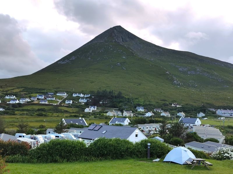
From the Achill Seal Caves Camping ground above the beach at Dugort
Check out the Achill Seal Caves Camping Ground here: https://achillsealcaves.com/
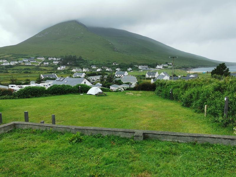
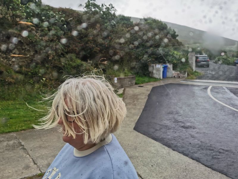
The morning was wet and wild, and the top of Slievemore was covered in mist.

The camping ground was beautifully situated with nice amenities and the view from our spot, ‘up the top’, was superb, thanks to Enda whom I had chatted with many times on email, as we planned this great trip. Enda had told me that there were a lot of activities to be enjoyed on the island and suggested we stay for 2 nights, and she would be able to tire the girls out. I thought long and hard about this as it was an attractive option but, unfortunately, it didn’t fit our plan, and so we settled on just the 1 nights stay.
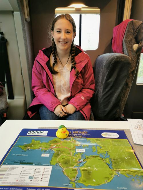
Our little plastic duck mascot, Cillian Murphy, in front of Francesca and Matilda with a map of Achill Island in the campervan before we left Dugort in the rain, passing the church above the camping ground.