
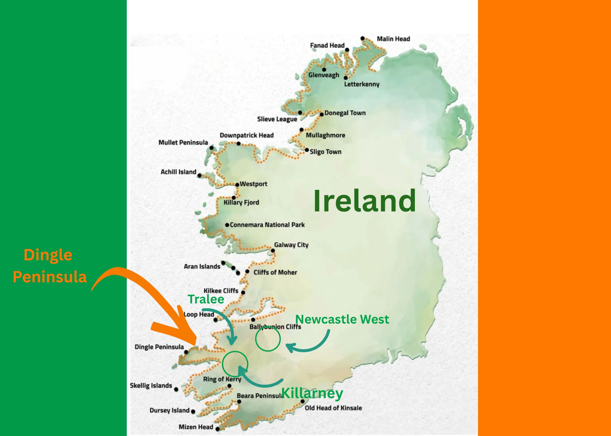
Next days: Leaving Killarney to explore the Dingle Peninsula
Once again I wish to acknowledge and thank my wonderful friend Shoba Nayar who edits my writing, and whose careful eye and amazing suggestions helps bring alive stories from our travels!
Where in the world are we? Ireland!!
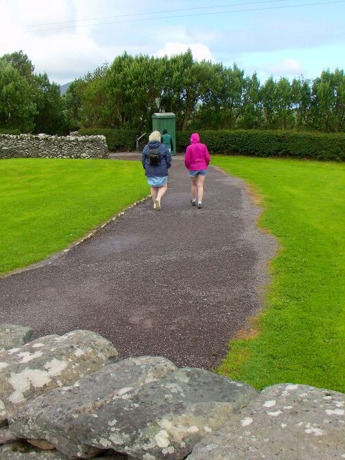
At the end of the last story… From Killarney
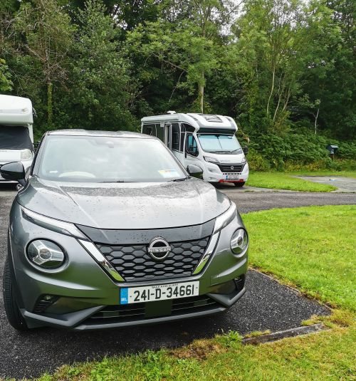
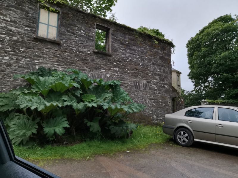
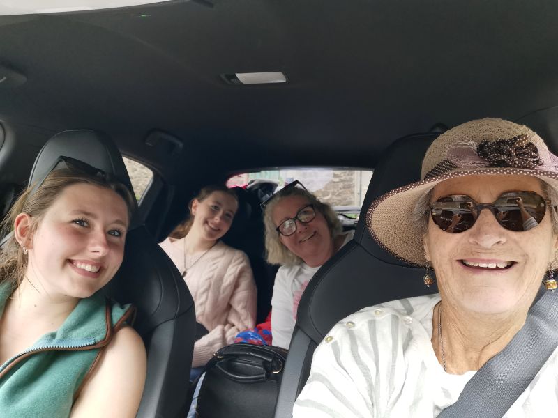
After a nice walk and dinner, we cleaned the campervan and packed our belongings, for in the early morning we would drive back to Newcastle West and return the campervan to the lovely people at CaraMotorhomes before driving to Tralee and onto the Dingle Peninsula for our final days of this adventure. Come with us on this last journey of discovery before leaving Ireland.
Campervan rented from:
Experiencing a familiarity with the countryside, we made our way back to Newcastle West and handed over the campervan before waving goodbye to our great friends at CaraMotorhomes. We had already collected our hire car for these last two days on the Dingle Peninsula and set off on our journey.
The previous story:https://teresaglobaltravels.com/ireland-eight-days-on-the-wild-atlantic-way-story-3/
Read about them in the previous 3 stories on www.teresaglobaltravels.com (destinations).
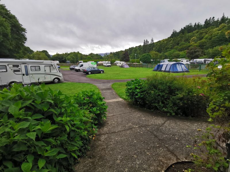
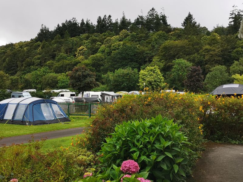
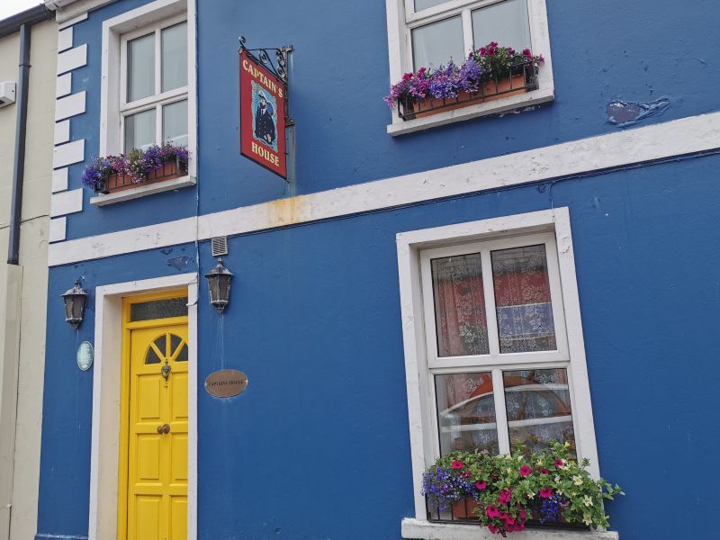
Flemmings White Bridge Camping and Caravan Park – Killarney
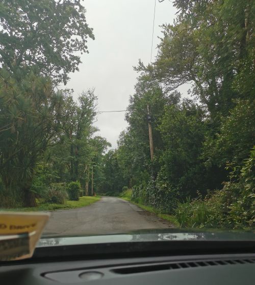
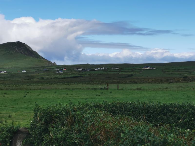
To Tralee and onto Dingle Peninsula
We drove towards Tralee, where we had started our journey and passed through the main street, towards the famous Blennerville Windmill, Tralee Canal Walk and Tralee Bay Wetlands alongside the River Lee. We marvelled at the sight of the large windmill, but it was not our destination today, so we drove on to the Dingle Peninsula.
Read here: https://blennerville-windmill.ie/
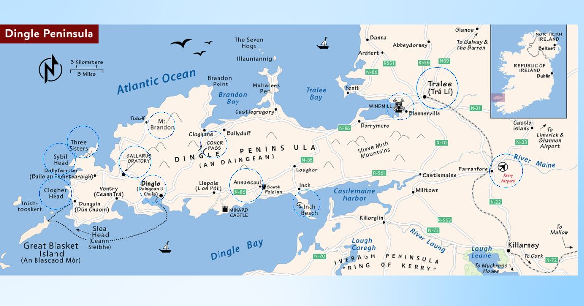
About the Peninsula
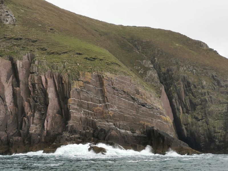
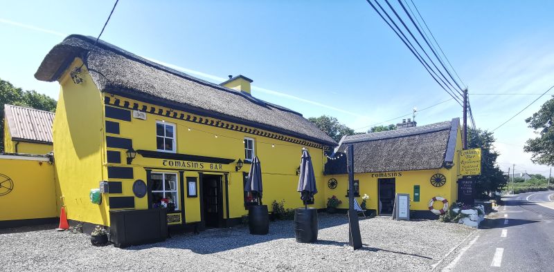
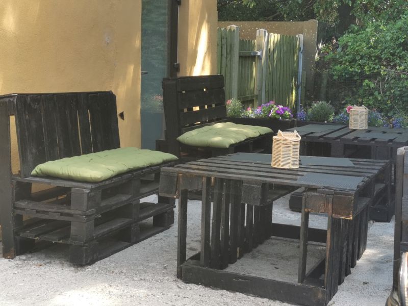
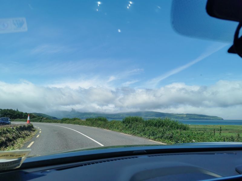
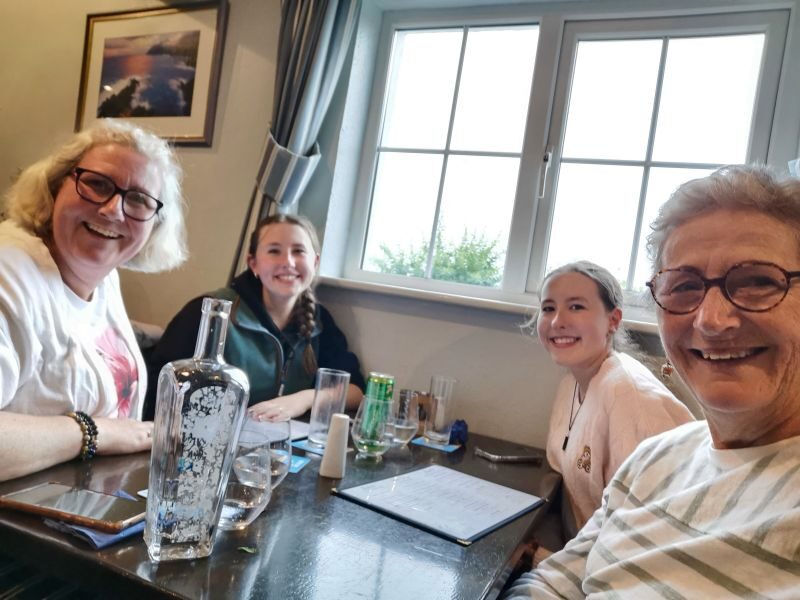
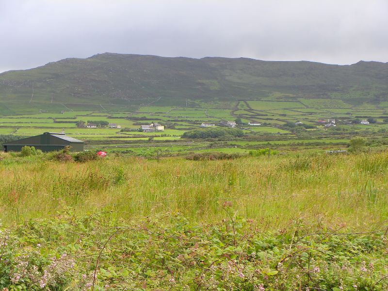
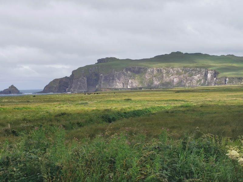
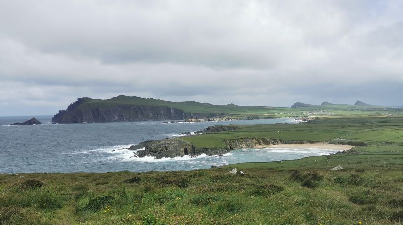
Described as the northern-most of the major peninsulas in County Kerry, it stretches out into the Atlantic Ocean at Dunmore Head, the most westerly point of mainland Ireland. We drove along the northern aspect of the peninsula past the turn off to Castlegregory and Kilshannig West and beaches of long, sweeping with golden white sands. I had read people camp, swim, ride horses, surf, or walk to explore some of the rugged parts of the coastline. It is renowned for photographic opportunities and observing the wildlife, as you will see further into the story. But for now we stopped at ‘Tomásíns Bar & Restaurant’, a bright yellow pub and shop at Stradbally.
As we sat out in the back courtyard and enjoyed a cold drink in the warm day, we could see the clouds quickly rolling in over the hills, which had only minutes before been clear and in full view.
Remember to open up the groups of photos to see them fully!
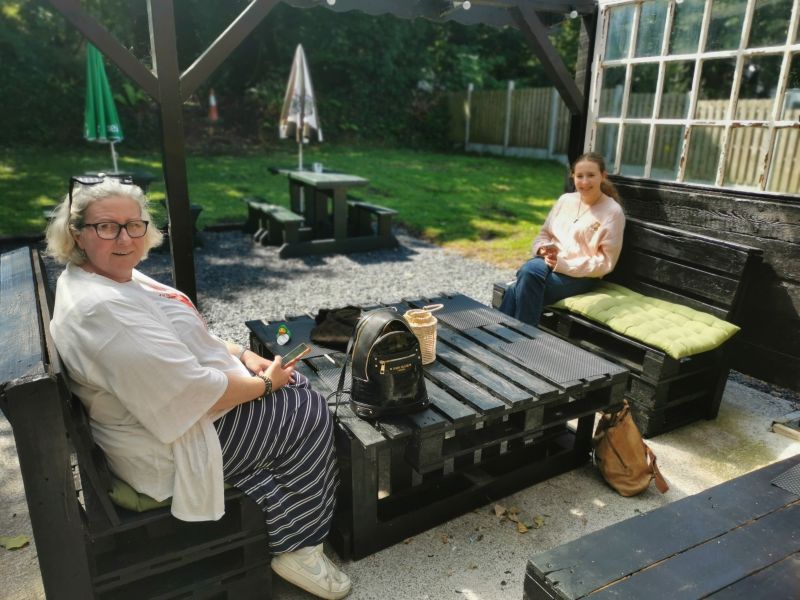
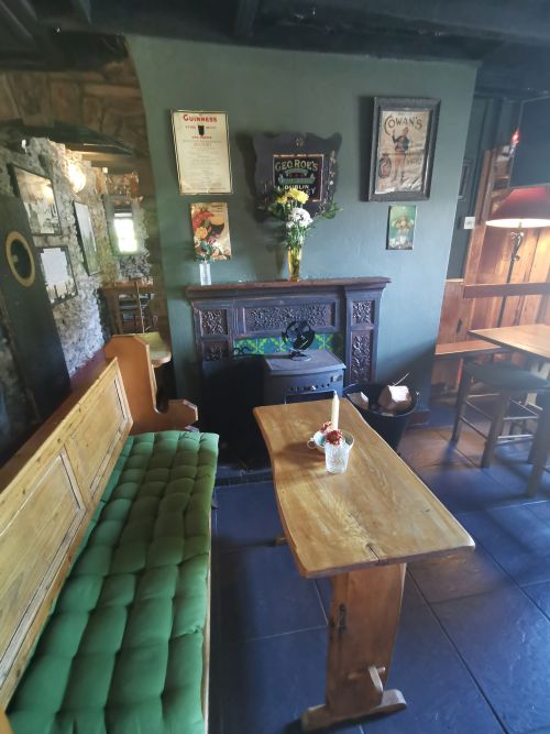
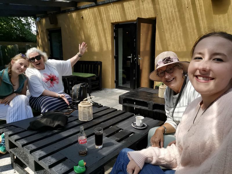
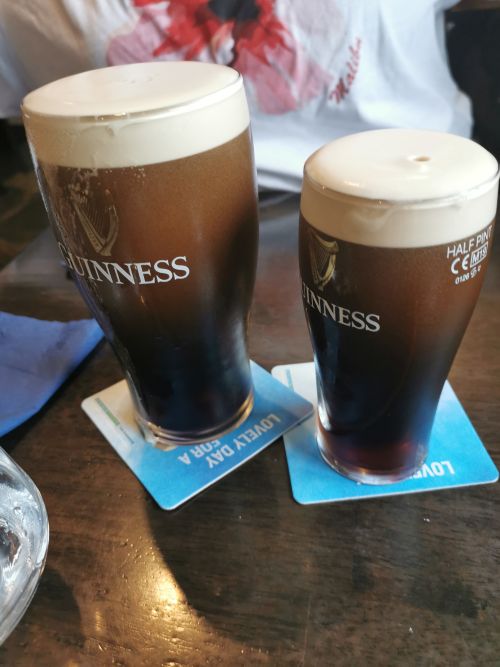
Enjoying a break in our travels in the garden bar at Tomásíns Bar & Restaurant Dingle Peninsula
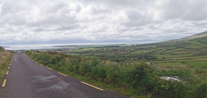
The drive over Conor Pass
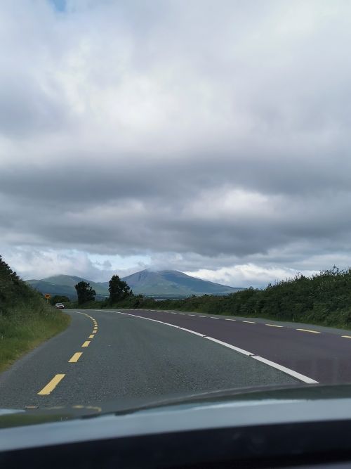
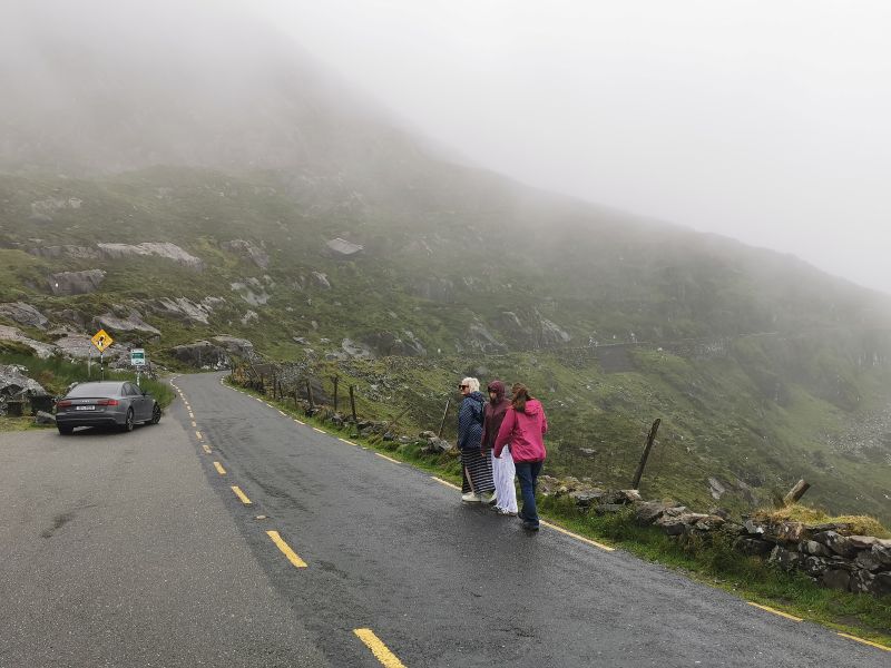
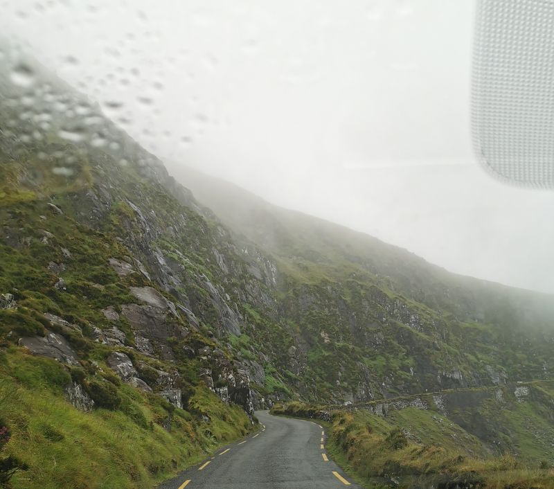
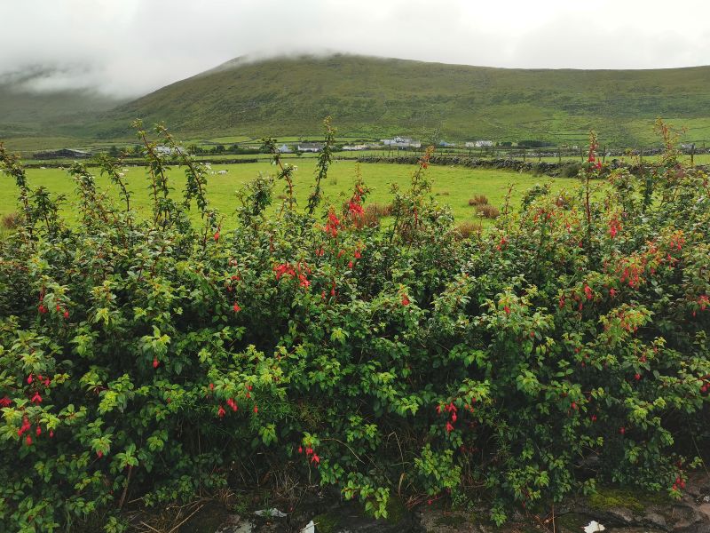
The road along the coast towards Conor pass and the clouds rolling in
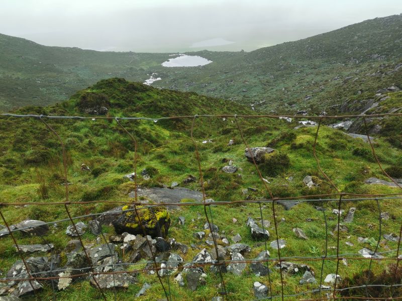
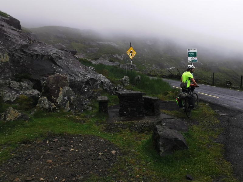
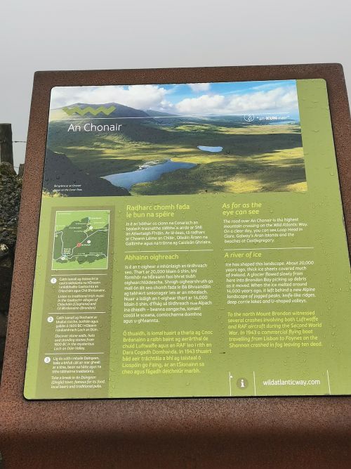
Our plan was to drive over the centre of the Peninsula through Conor Pass (An Chonair), a high mountain pass in Ireland with dramatic, breathtaking scenery along this ‘scenic way’ of glaciated landscape comprising mountains, lakes, and the sweep of the broad valley far below. The road twists up the narrow, steep hill on this 12km (7.5mi) traverse across the peninsula from Kilmore Cross and down into the main town of Dingle. There are two main stopping and viewing places, one at Peddler’s Lake, and from here to the other stopping space at the top of the pass. However, be warned, the road snakes around sharp cliff faces where two cars cannot pass, and there are restrictions on the size of vehicles allowed on this road! When the weather is clear, the views on this stretch of the Wild Atlantic Way are said to be nothing short of stupendous; however, the rain and low cloud stunted our views, which you can see here:
https://dingle-peninsula.ie/explore/conor-pass.html
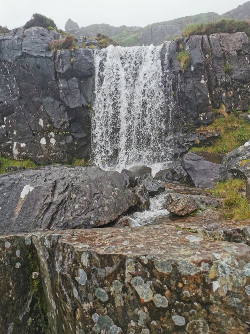
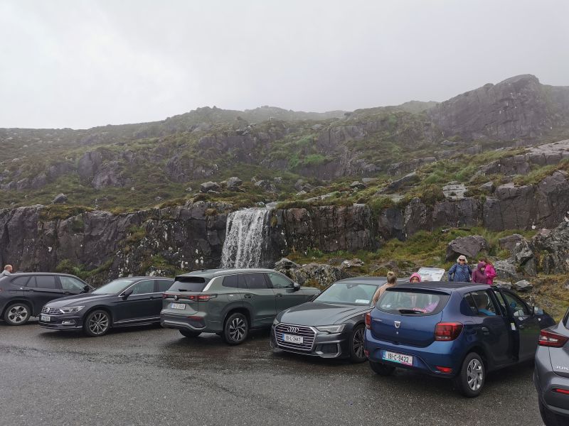
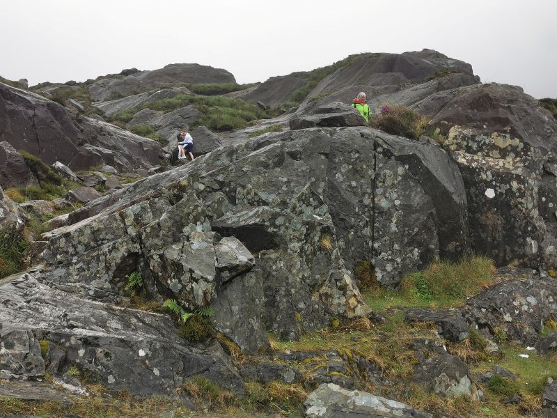
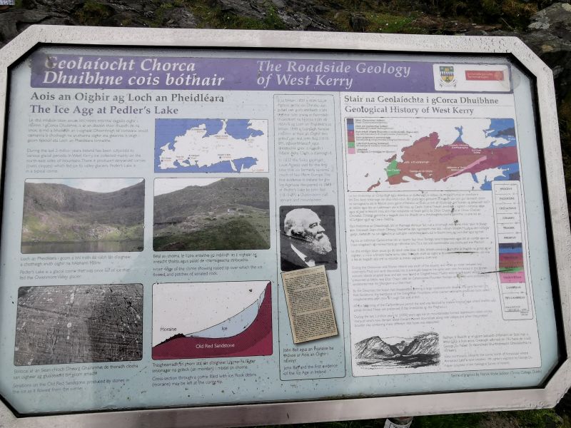
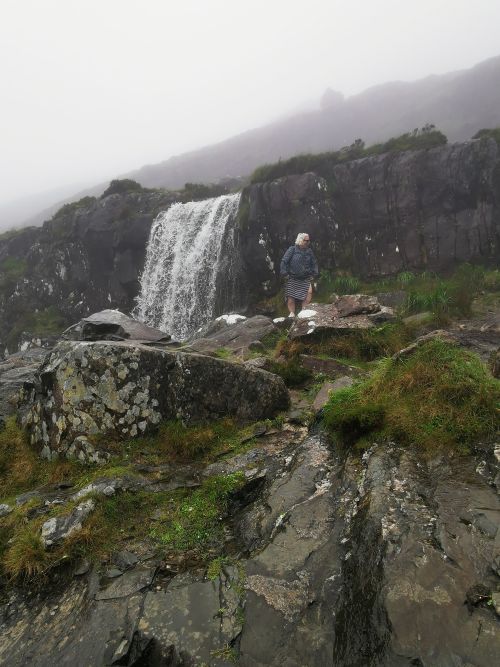
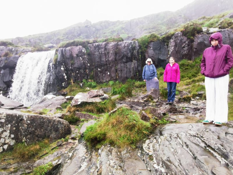
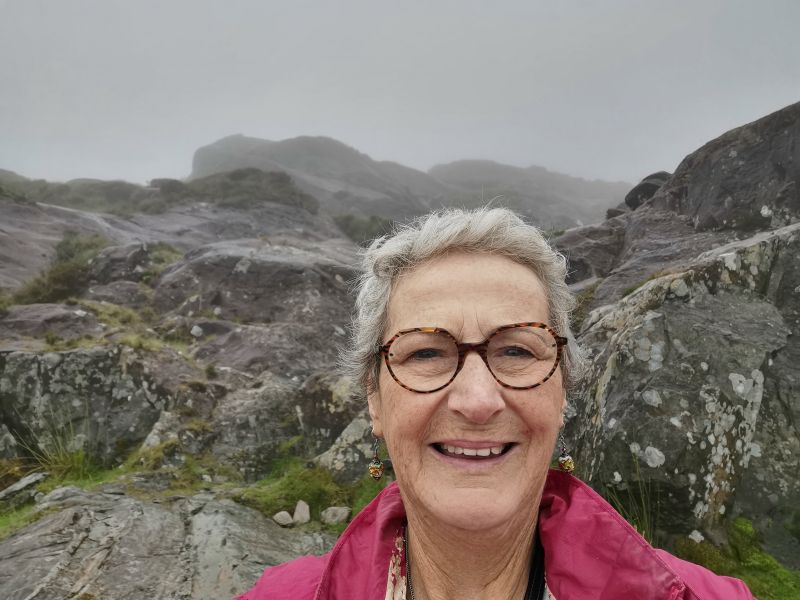
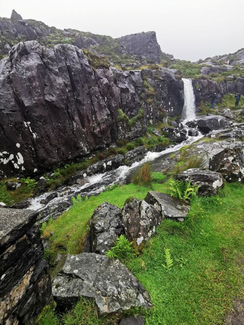
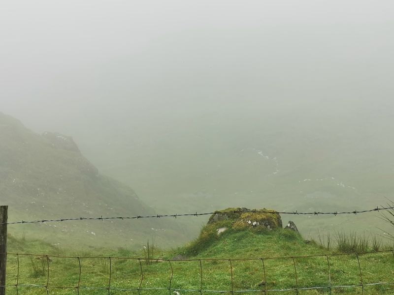
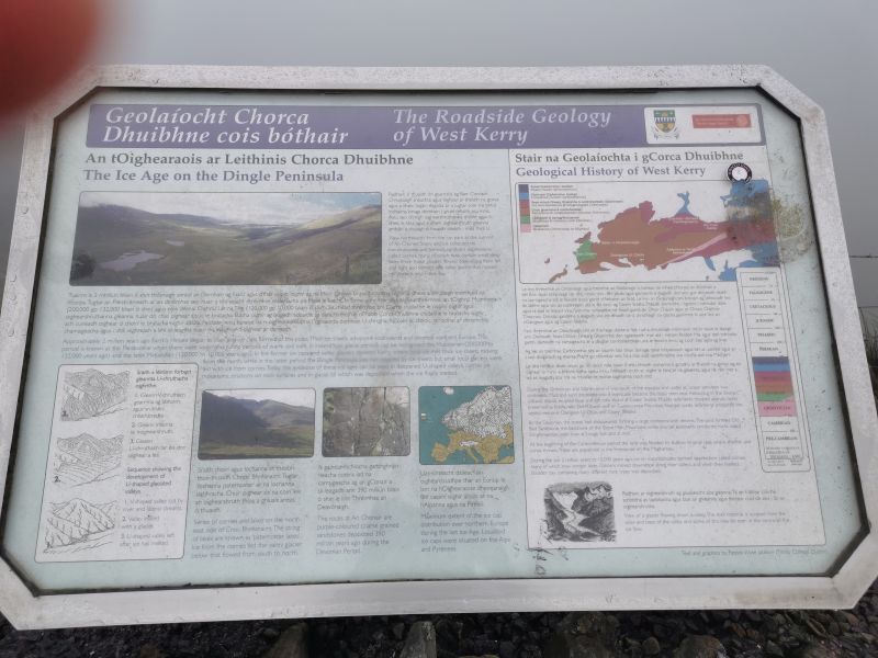
We stopped at the Peddler’s lake (Lough Doon) car park. Ice age glaciation formed this lake and the rocky surrounding areas, creating the ‘Conor Pass waterfall’ which tumbles down the mountain. It was misty and raining lightly, and we could see the rocky pathway up to the lake—black, wet and slippery. Seeing people struggling on their way back down the slippery rocks, we decided it was not safe to go climbing and enjoyed the views from where we were. Through the mist, we could see some of the ‘corrie lakes’ far below with the sound of the waterfall crashing behind us. (Corrie lakes or Tarns are bowl-shaped hollows or cirques created by glacial activity.) A roadside information board told the geological history of the area and the glacial ice age that formed this region after it was pushed and pulled into position from being south of the equator in the millennia long ago.
Remember to open up the groups of photos to see them fully!
To the top!
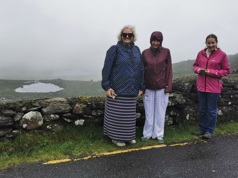
The weather conditions added a layer of exhilaration as we carefully negotiated the narrow, one-lane road up the mountain to arrive at the top of the pass. From the viewing spot, we could see very little. The drizzly weather on the mountain hid the expansive vistas that we knew were hiding beyond the misty blanket. The view is described as dramatic and one of the iconic viewpoints on this area of the Wild Atlantic Way, where, on a good day, you can see as far as the Aran Islands to the north and the Skellig Rocks of the Ring of Kerry to the south.
An unusual lunch stop
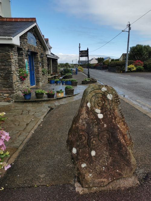
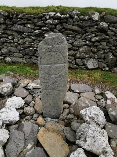
We had our lunch with us, so opted to drive through Dingle and out to the West in search of somewhere to eat our picnic. We passed the Dingle Whiskey Distillery (where tours are available) and out entering the countryside we turned off the main road looking for a seaside place with a view to stop. We found ourselves in the vicinity of the ‘Burnham Horse Riding Centre’ and the ‘Coláisteide Íde – All Irish Boarding School for Girls’, established in 1927 and set in an elegant, large Georgian house sitting in over 100 acres of land, which includes a large wooded area. On the driveway into the school grounds are the ‘historic landmarks’—Colaiste Ide Ogham Stones bought here by Lord Ventry from other places on the Dingle Peninsula. Ogham Stones are early medieval monuments from approximately the 4th–7th centuries AD, found mainly in Ireland and parts of Britain. They feature inscriptions in the ‘Ogham script’, which is considered the earliest form of written Irish, consisting of parallel lines and notches and read from the bottom up; they bridge the oral and written Irish history in primitive or archaic Irish. These stones were usually boundary markers or indicators of memorial gravestones, especially for high-status individuals and display names, lineage, and family pride.
Read more information here:
https://www.burnhamhorseridingdingle.com
https://www.megalithicireland.com/Colaiste%20Ide.htm
We found ourselves in an atmospheric farmyard type car park between the riding school and the girls’ school, and ate our lunch in the car. There were cats about the yard, and Matilda enjoyed interacting with them as people came and went. Following lunch we drove past the Ogham stones to observe them, into the entrance near the school’s main doors, and out to the main road back to Dingle.
Remember to open up the groups of photos to see them fully!
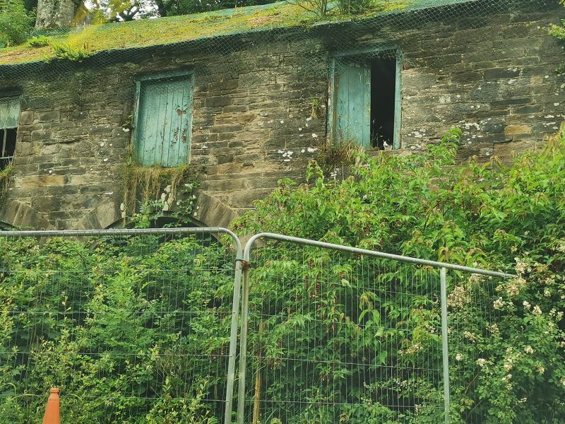
Our lunch stop, note the cats on the road and in the window of the dilapidated building
Dingle
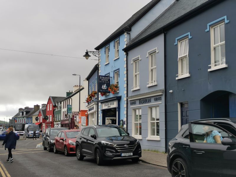
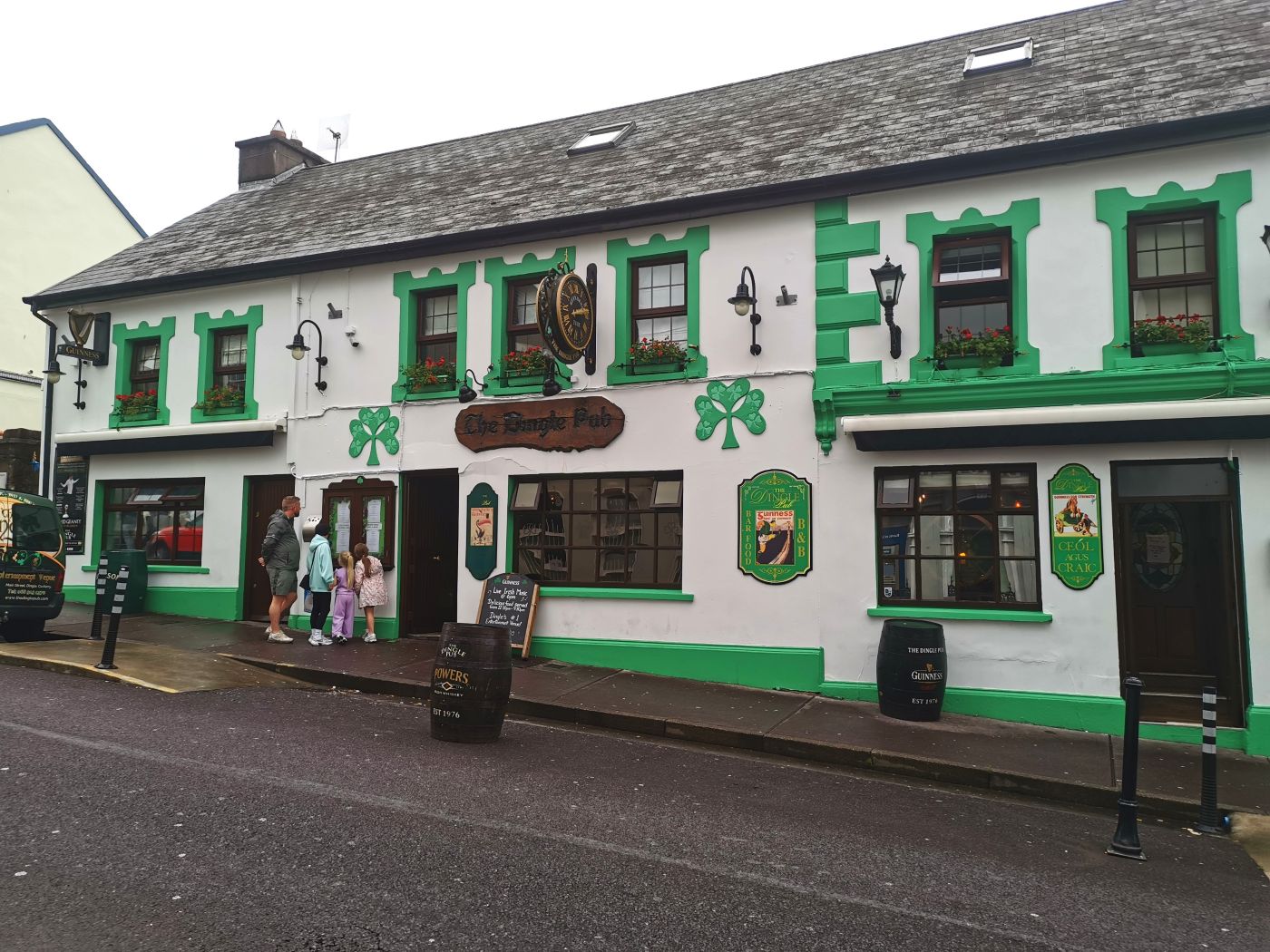
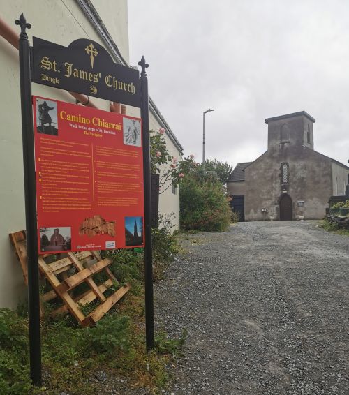
It was busy in the town as we started walking up the Spa Road, down the Main street, stopping at the ‘Dingle Pub’, then past St James Church and the sign for the Camino Chiarría sign (The Kerry Camino) which follows the footsteps of St Brendan in a 57km (35mi) walking trail comprising coastal scenery, rugged mountains, and quiet country roads over 3 days from Tralee to Dingle. There are about 10 ‘Celtic Caminos’ in Ireland that tie in with the Spanish Caminos and walkers can receive an official Compostela certificate.
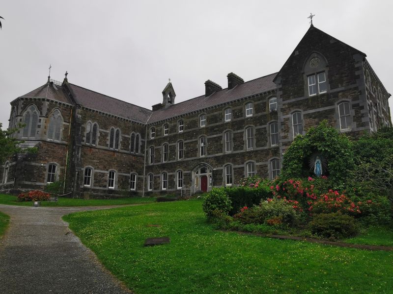
We wandered in and out of shops and down into Green Street, where we checked out the ‘An Díesart Centre of Irish Spirituality and Culture’. Housed in a former convent, with amazing neo-gothic stone buildings, stained glass windows, and cultural centre gardens, the ‘Sisters of the Presentation of the Blessed Virgin Mary’ (Presentation Sisters), led by their founder Nano Nagle (1718-1784), began in the original buildings on this site. The current convent was built between 1870 and 1900. We were not able to stay long, but could see this was a place worthy of adventurous investigation.
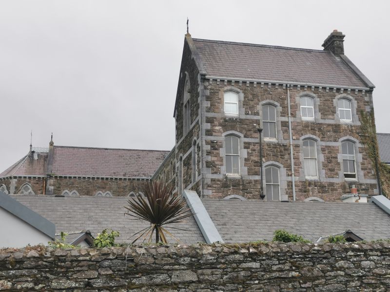
A view over a stone fence towards An Díesart Centre of Irish Spirituality and Culture in Dingle town
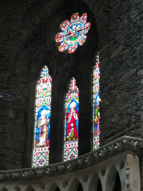
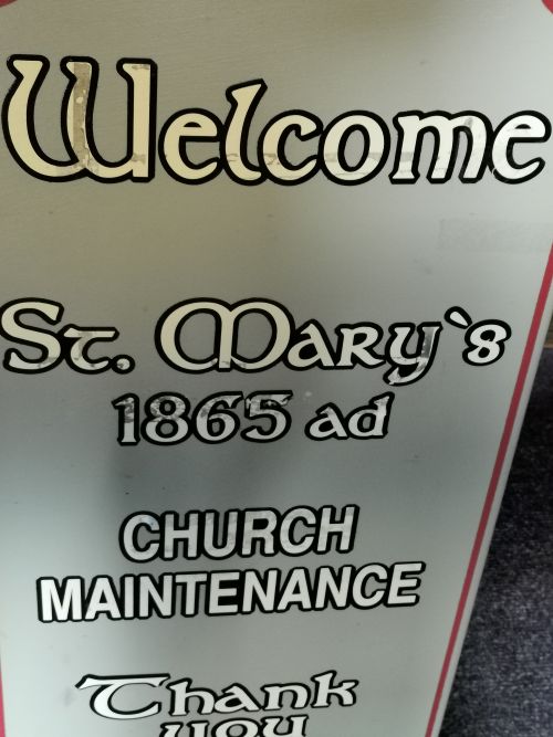
We then went to the Parish’s Neo-Gothic St Mary’s Church, which is connected to An Díesart by a tunnel. The foundation stone for St Mary’s was laid in 1862, and it has undergone radical changes since being built, transforming its physical appearance from the original J.J McCarthy’s architectural design to represent the evolving needs and vision of the local community. Time spent here is characterised by being mesmerised by the stark beauty of the grey stone interior/exterior and the contrast of the beautiful, colourful stained glass windows, the wood and stone, the altar and the seating area. The view from the outside is stunning, and the complex gardens are a sight to behold.
Check out photos and information here: https://diseart.ie/
Remember to open up the groups of photos to see them fully!
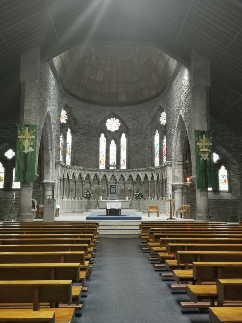
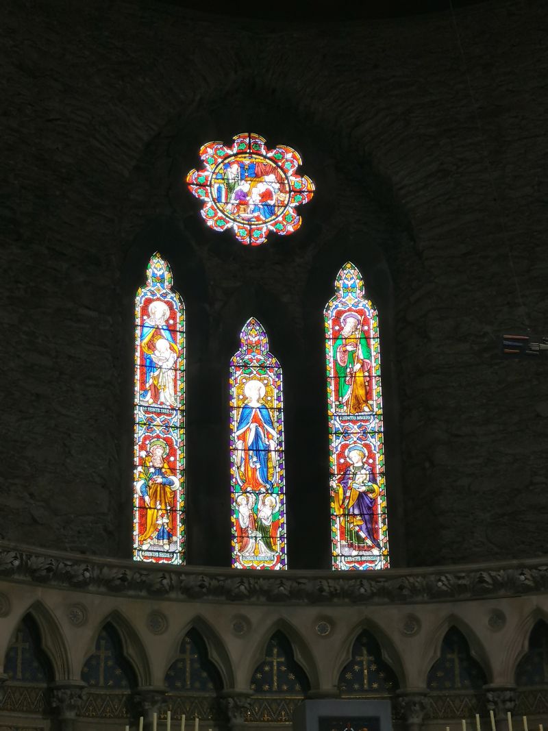
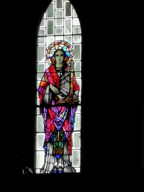
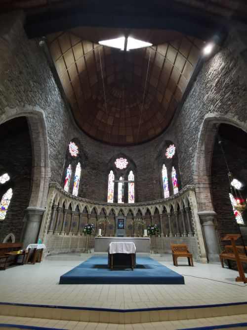
St Mary’s Chruch, Dingle
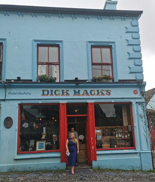
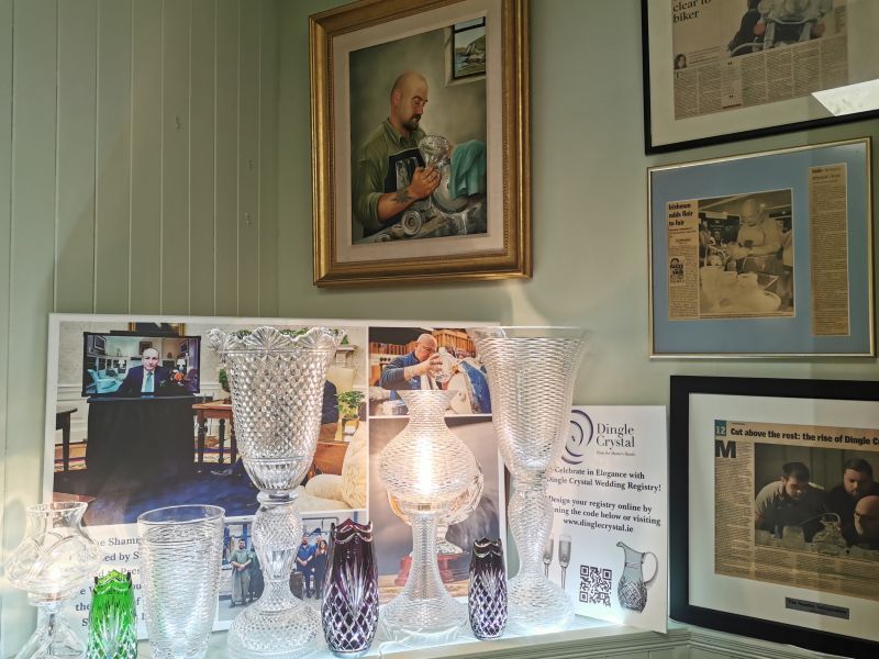
We made our way down to the wharf, stopping in shops and checking out the cafes. The buildings are brightly painted and interesting to explore, with gifts and souvenirs for everyone, including an amazing crystal shop, ‘Dingle Crystal’, with very expensive, exclusive crystalware.
Admire the crystalware here: https://dinglecrystal.ie/collections/
We arrived at the wharf and enjoyed seeing the bronze statue of ‘Funghie’ the dolphin, who is legendary in Dingle Bay, while we waited to join our boat tour. Funghie, a male common bottlenose dolphin, lived in the Bay from 1983 until he disappeared in October 2020 at the age of 40+. His presence created a huge tourist attraction for the region, culminating in a painting of him unveiled on the lighthouse in 2021. Unfortunately the dolphin and whale tours were cancelled due to the storm out in the Atlantic Ocean and the dangerous conditions beyond the Bay, so we booked a trip within the Bay. Even though the water was turbulent, we thought it would be fun.
Book here: https://www.dingledolphin.com/
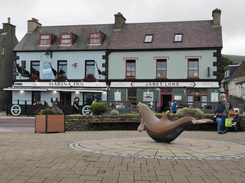
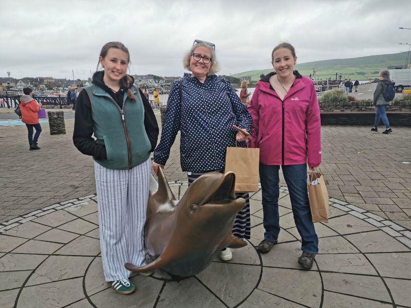
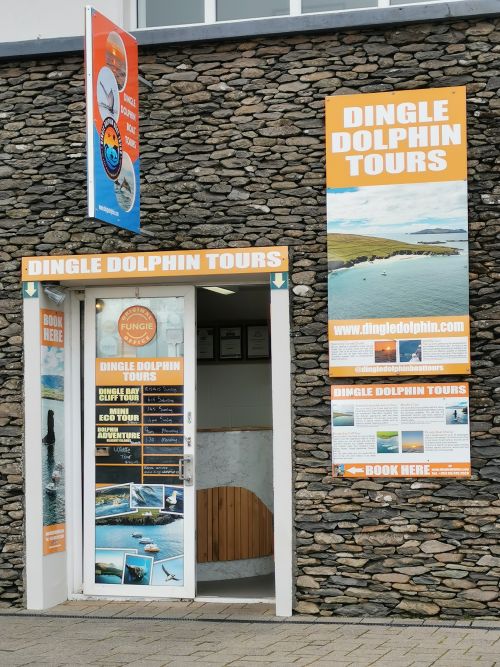
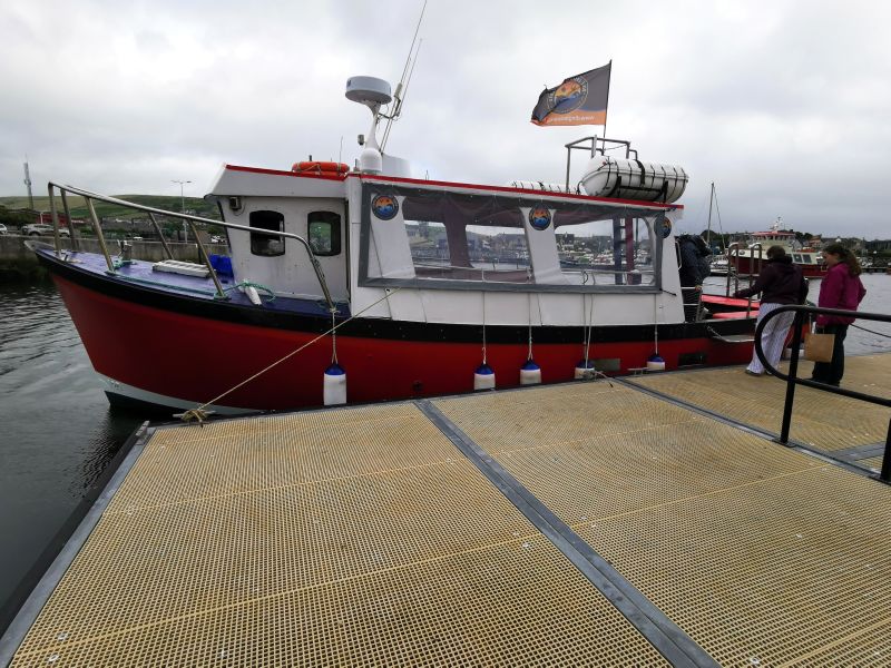
Funghie sculpture, the Dingle Dolphin Doors office and getting on the boat we went on
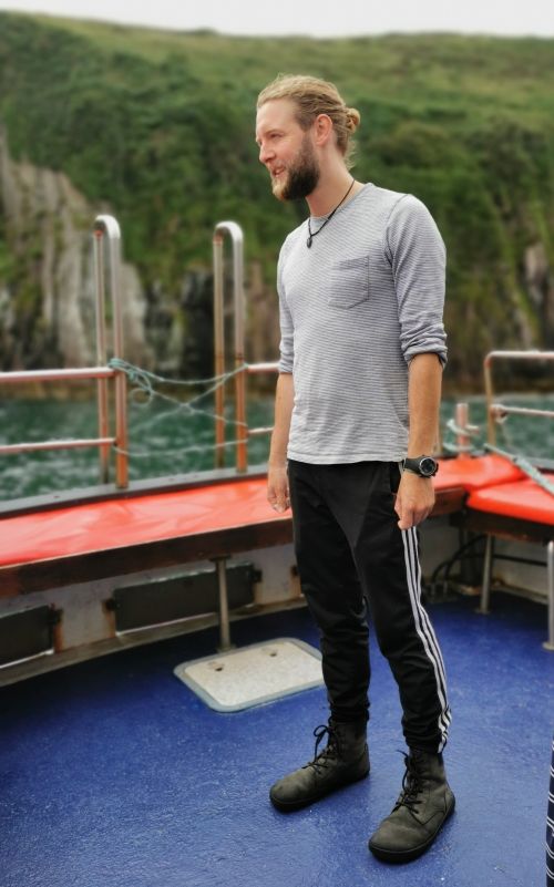
Matilda was a little tentative about going out on the rough waters again, but she managed and we had an awesome time with our guide, who gave us his full attention on this private tour on the small boat rocking and rolling on the waves.
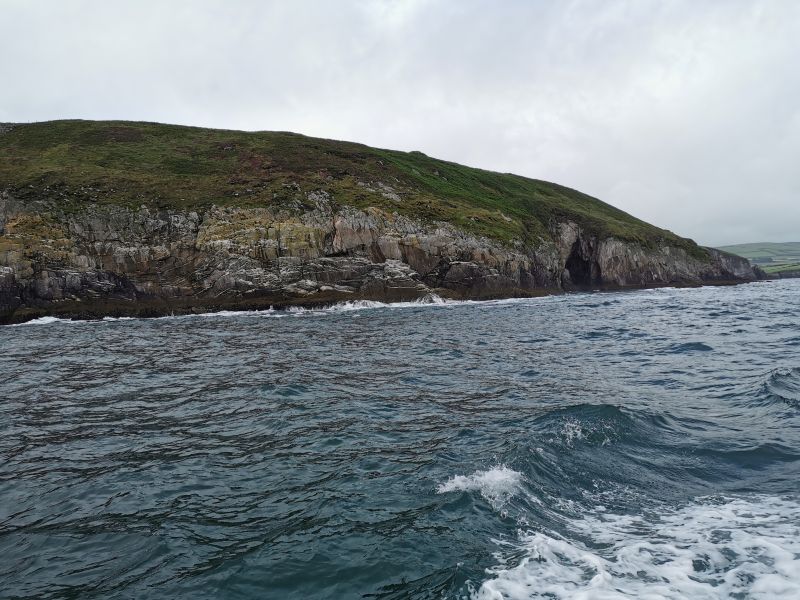
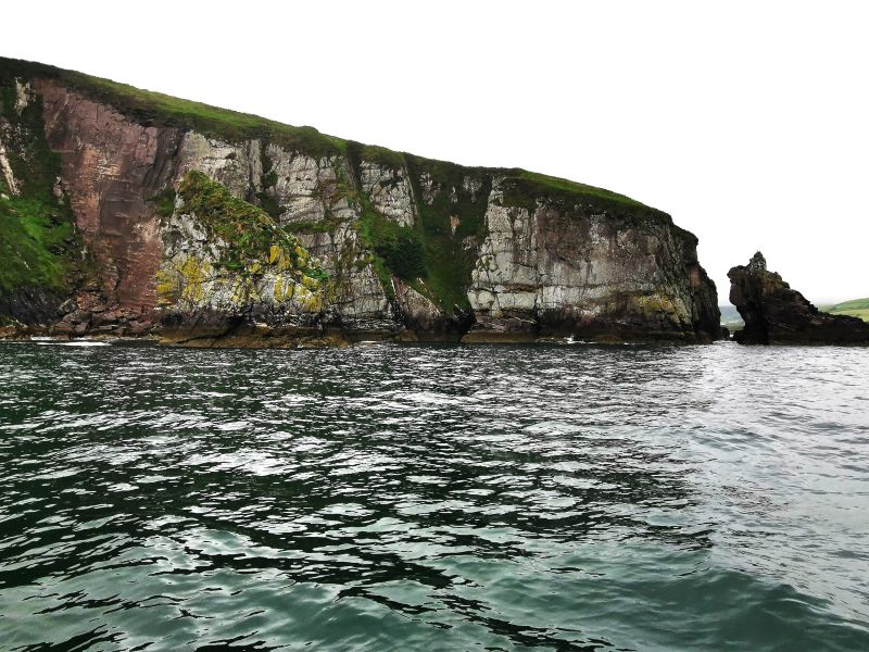
We began by passing ‘Hussey’s Folly’, built as a ‘folly’ by a local landowner in 1845 to provide work during the ‘great famine’; it embodies both aesthetic beauty and cultural significance. It is only 2.5km (1.5mi) from Dingle town by land, and many visit these landmarks on walks on the Dingle cliffs.
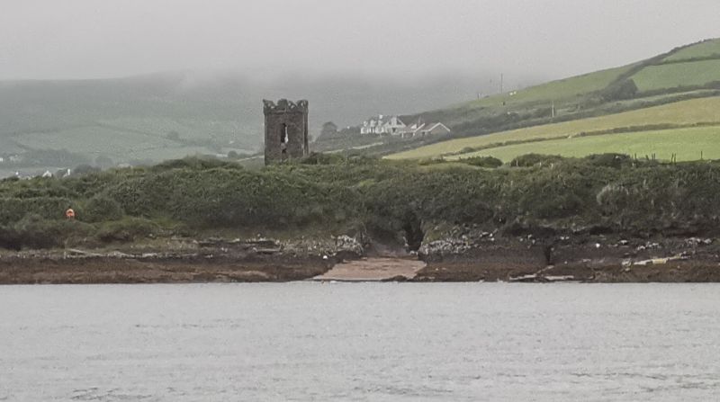
We then passed the automated, functional, picturesque Dingle lighthouse, built in 1885, sitting on the cliffs above the coastline with the ‘Funghie’ painting facing out into the panoramic view of the entrance of Dingle bay. Our wonderful guide showed us ‘the old light’ on a rock on the opposite side of the Bay, which has not been used for many years.
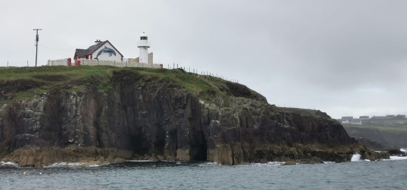
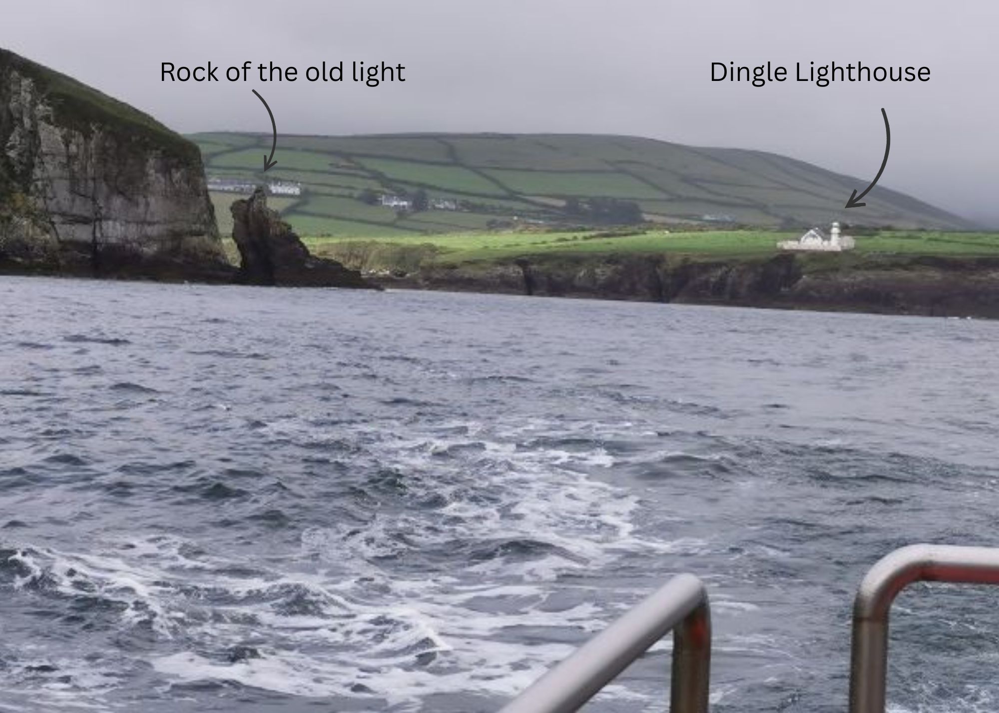
The lighthouse and Funghie painting, the rock with the old light and the bay showing both
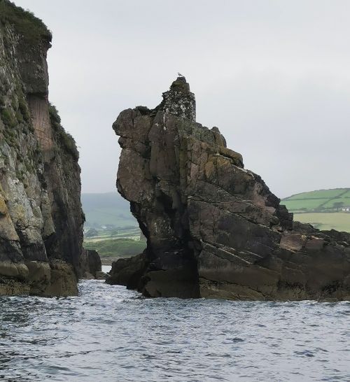
It was great to have his commentary and discussion about the formation of rock walls, the bay, and life in Dingle and the Peninsula. More of an intimate chat, we could ask questions we might not have on a big group tour.
Remember to open up the groups of photos to see them fully!
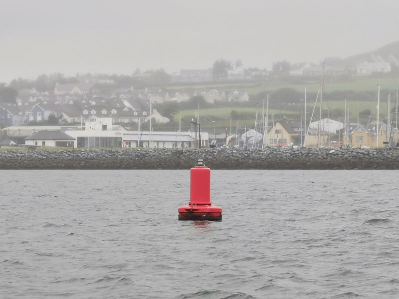
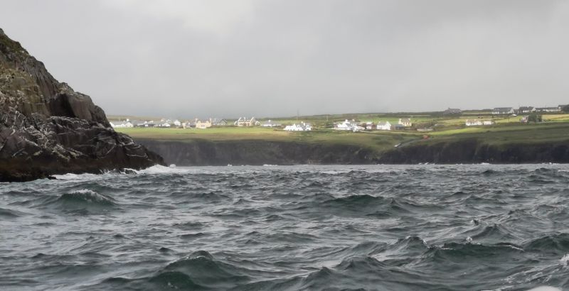
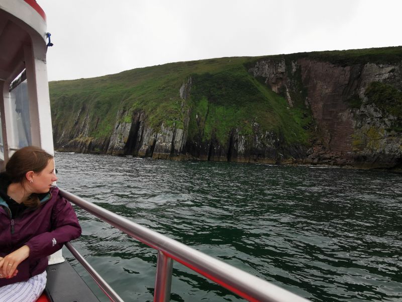
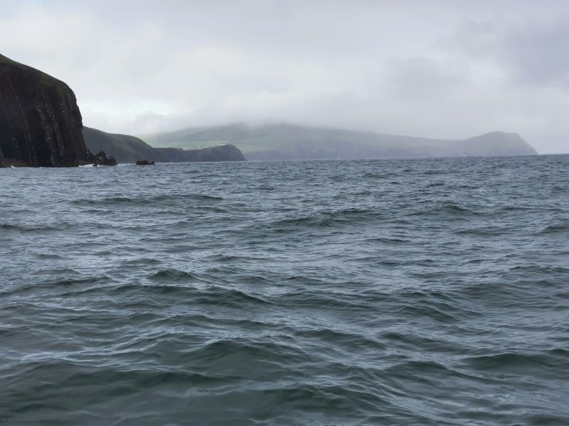
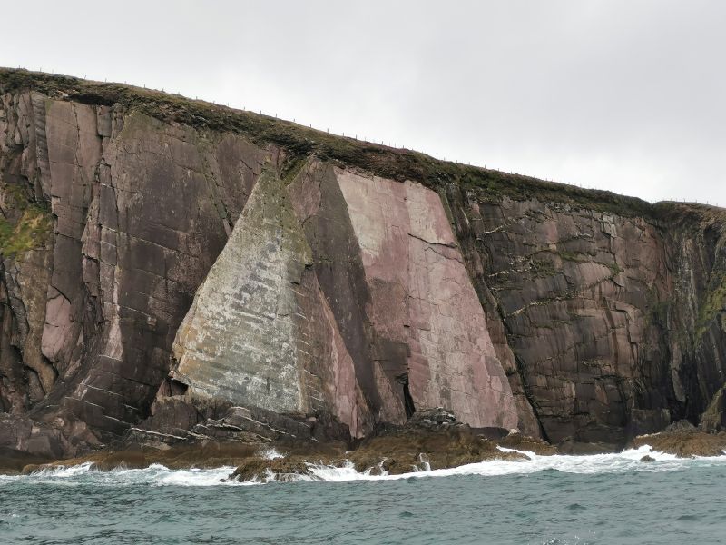
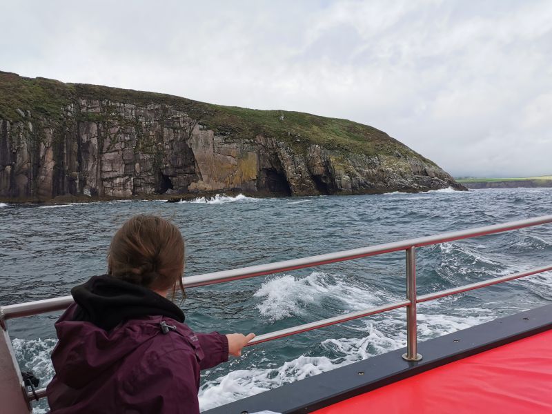
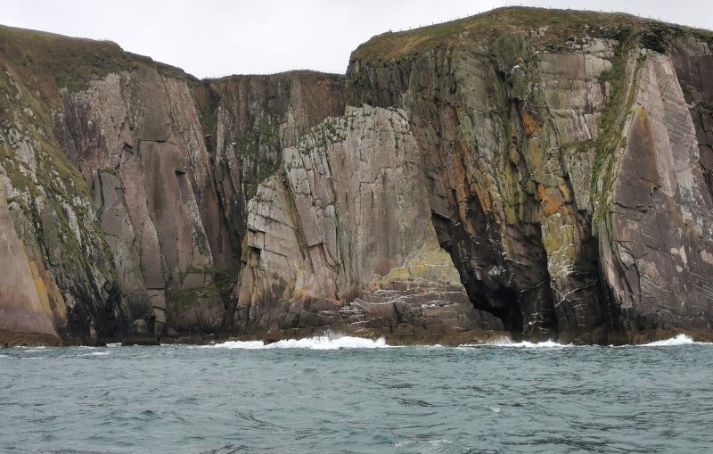
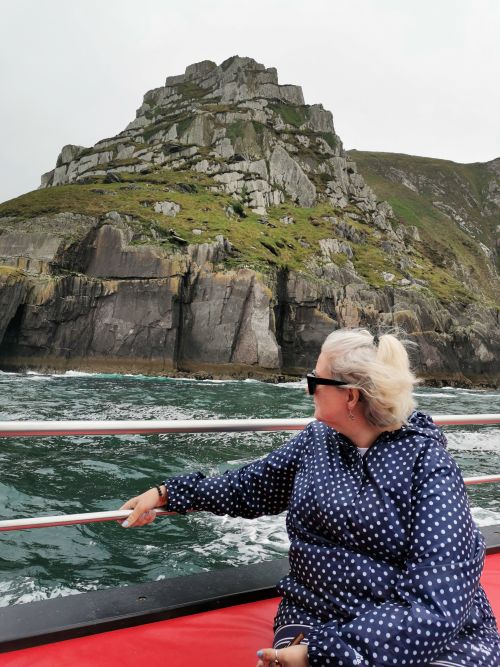
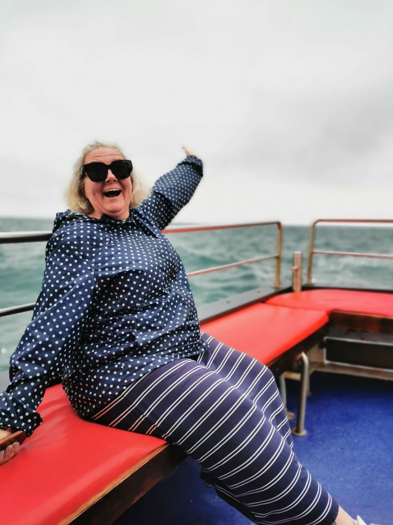
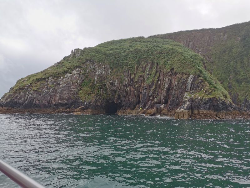
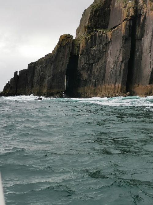
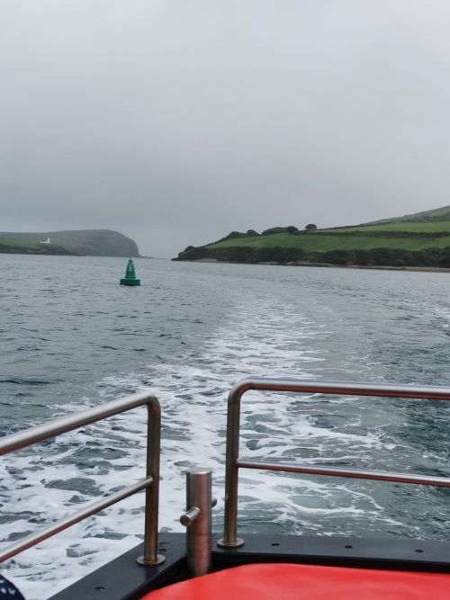
Out on Dingle Bay
Off the high seas and our overnight accommodation
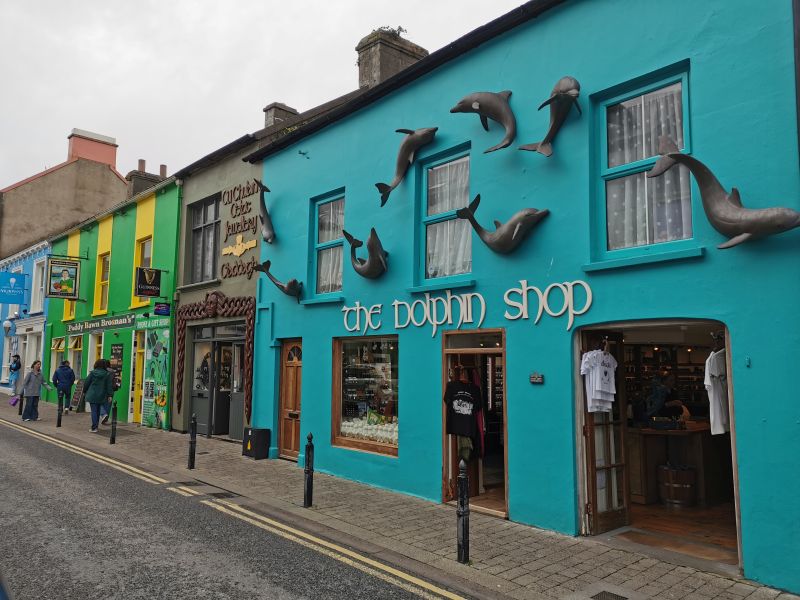
Back on land, we walked along more streets, perusing the brightly coloured shops, including ‘The Dolphin Shop’ with several dolphin sculptures attached to the outside walls of the bright blue-green shop of souvenirs and local bric-a-brac.
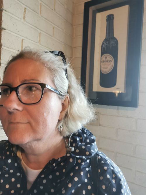
Back at the car, we drove out of town towards our accommodation at ‘An Bothar Pub’ near Brandon Creek. Here, we enjoyed our evening meal and the views through the misty rain that had continued up above the coast. We retired to bed after a long but wonderful day.
Check here: https://www.botharpub.com
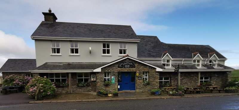
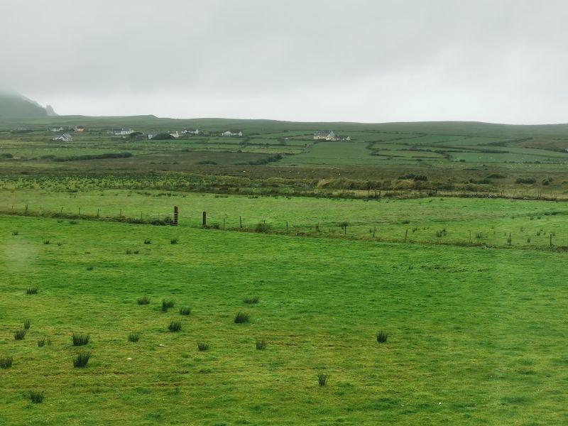
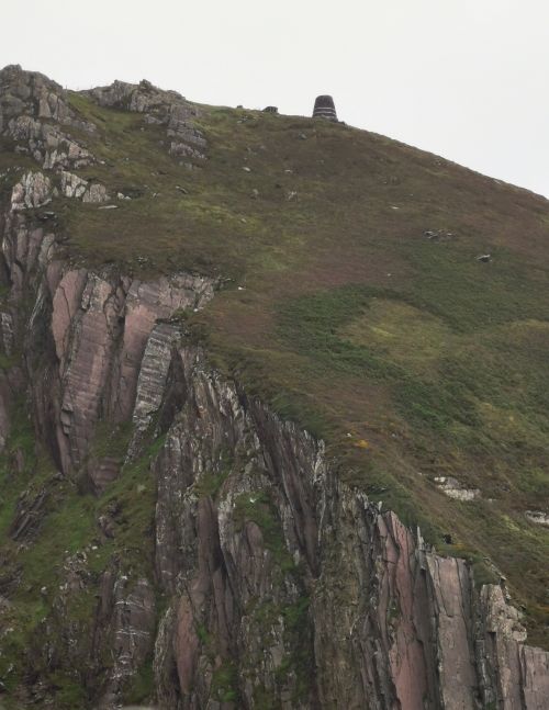
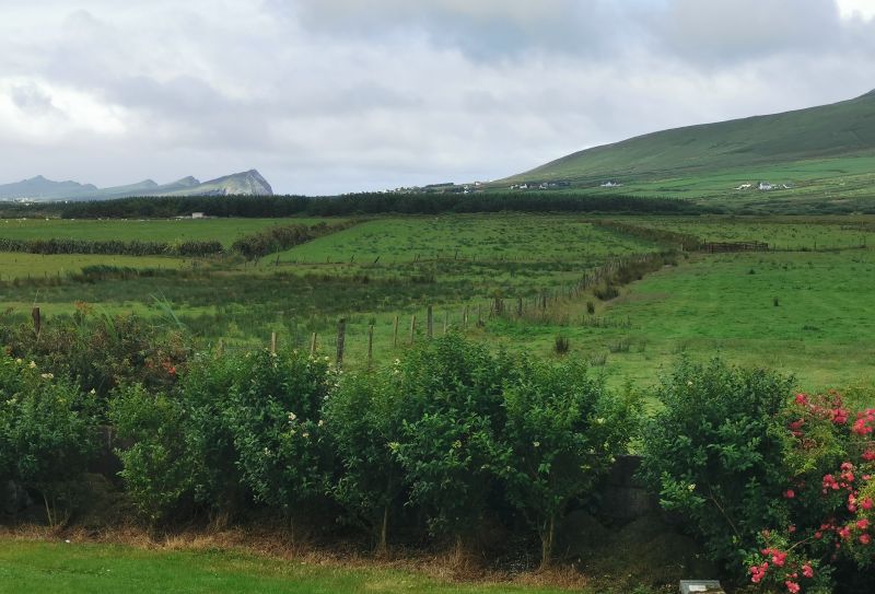
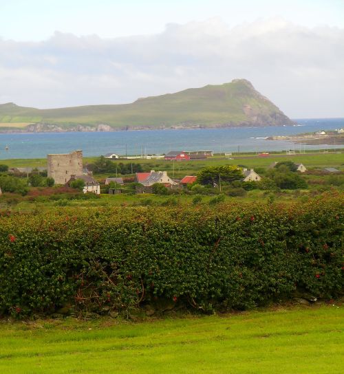
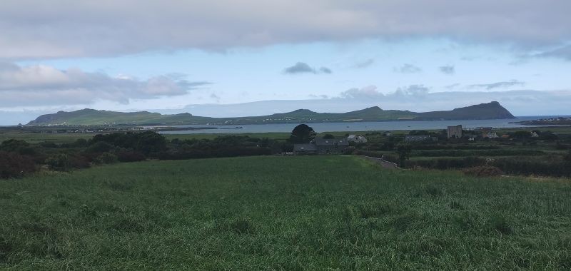
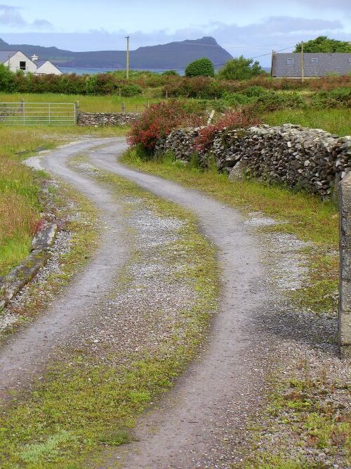
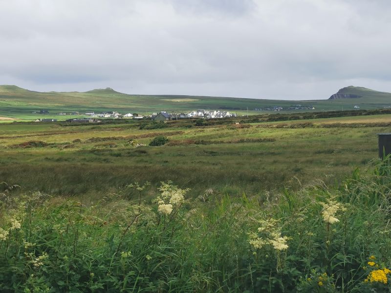
The morning dawned with reasonably clear skies, and we could see out over the stretch of farmland to the cliffs above Ballydavid Head and the sea. Cloud still hung over the hills in the opposite direction at Ballynavenooragh at the foot of Mt Brandon, and so the stone fortress, ‘Cathair na bhFionnúrach’, was not a venue to explore on this last morning on the Peninsula. It is one of 60,000 ringforts, built as defensive homesteads for wealthy farmers across Ireland between 550 and 900 AD. This particular ringfort has been archaeologically excavated and found to have been constructed in the 7th century and occupied until the 10th century.
Read more about it here:
https://heritageireland.ie/unguided-sites/ballynavenooragh/
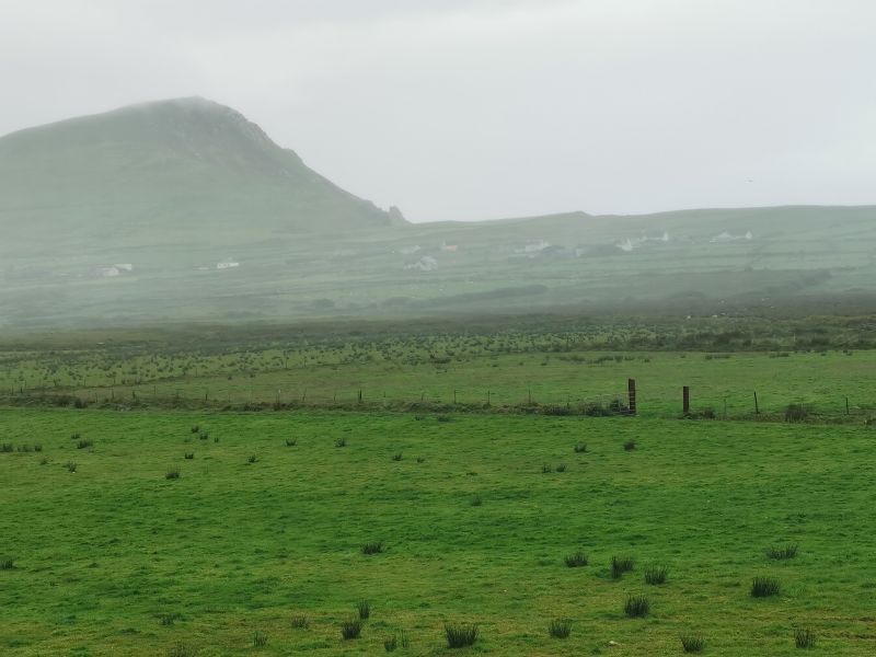
From ‘An Bothar Pub’ we observe sea mist clearing and a rural scene on the Peninsula
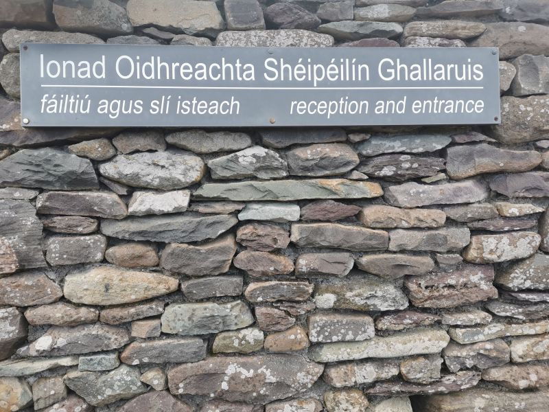
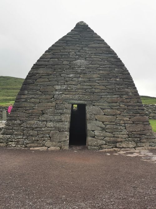
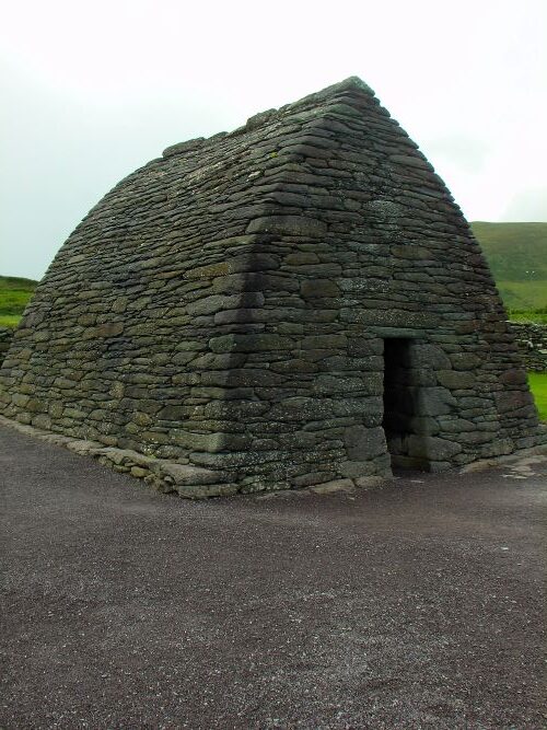
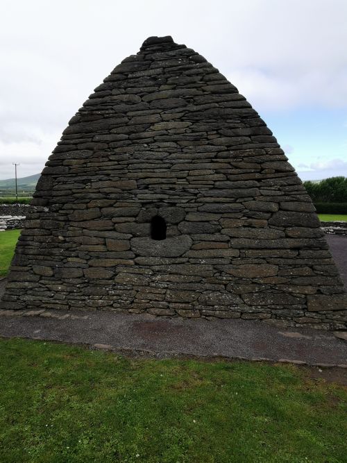
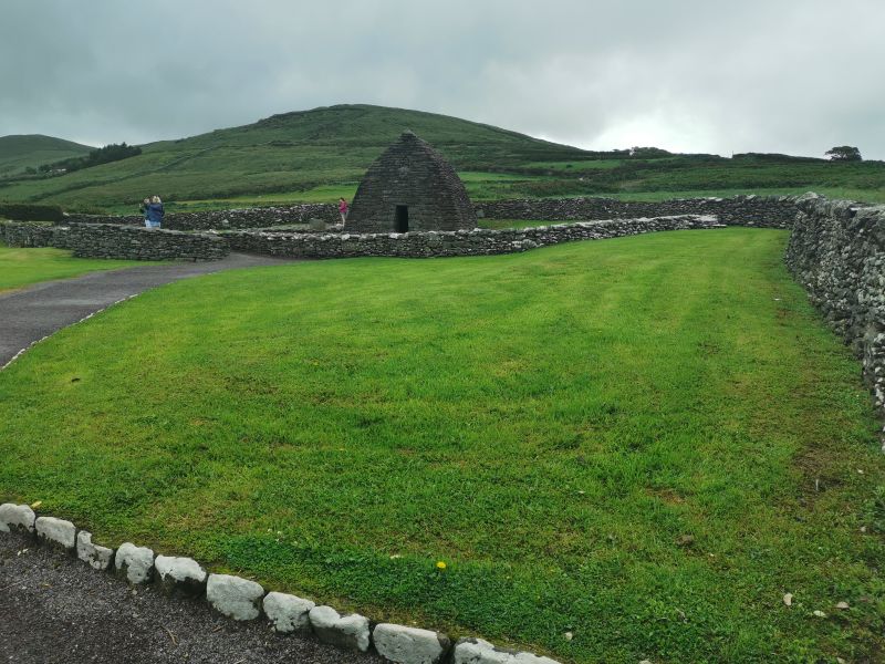
Gallarus Oratory
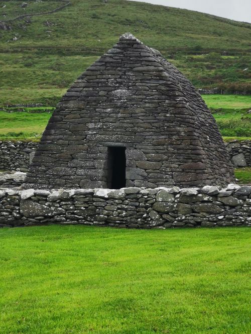
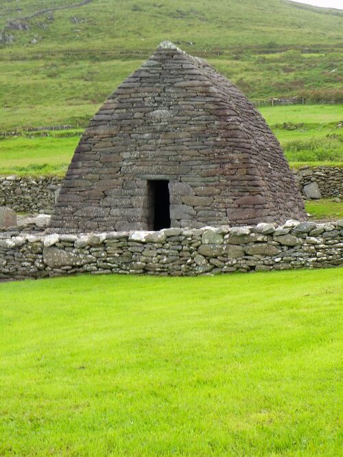
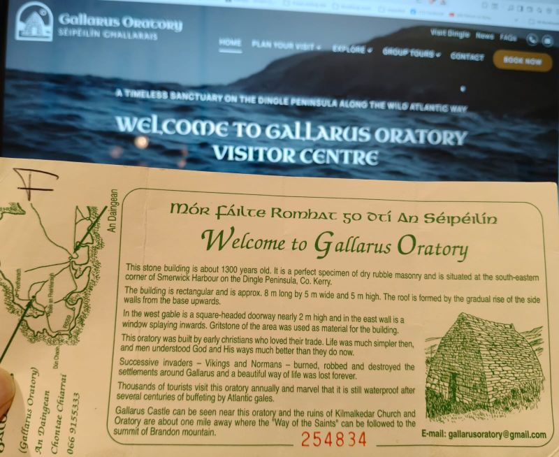
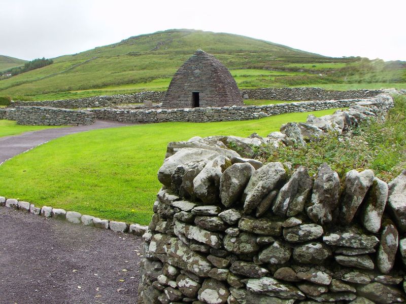
We had limited time left on the Dingle Peninsula, so we chose to visit the ‘Gallarus Oratory’, an ancient stone chapel, which was on the road back to Dingle. Said to stand as a ‘silent sentinel of Ireland’s past’, it sits above the Smerwick Harbour on the Atlantic coast where ‘history, nature and mystery converge’. (information taken from the website below and the admission ticket).
Read more here: https://gallarusoratory.ie/
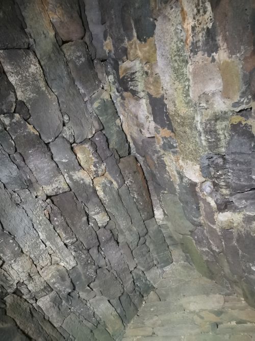
Situated near the Gallarus Castle and the sacred pilgrim path, ‘Way of the Saints’ to the summit of Brandon Mountain, the Oratory was built in the 7th–9th Century (approx. 1,300 years old) and is still weatherproof after more than 1,000 years. Constructed of dry stone in the shape of an upside-down boat, 8m (long) x 5m (wide) x 5m (high), it was built by monks seeking solitude in nature.
Pilgrims, monks, and travellers are thought to have taken refuge and shelter in the oratory as they travelled around. Information suggests that over time, invaders such as the Vikings and Normans burned, robbed, and destroyed the settlements in the area, which changed the way of life here forever.
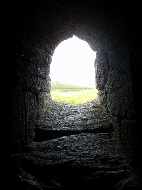
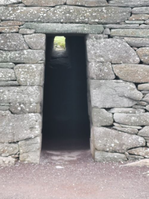
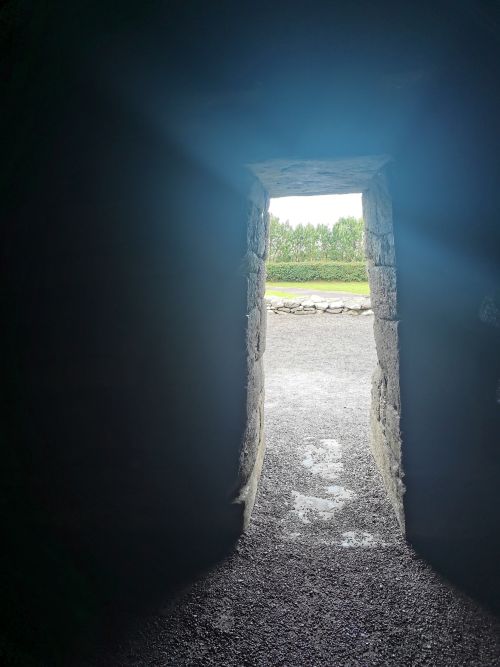
Views through the door and windows of Gallarus Oratory and Gallarus Castle, town and bay beyond
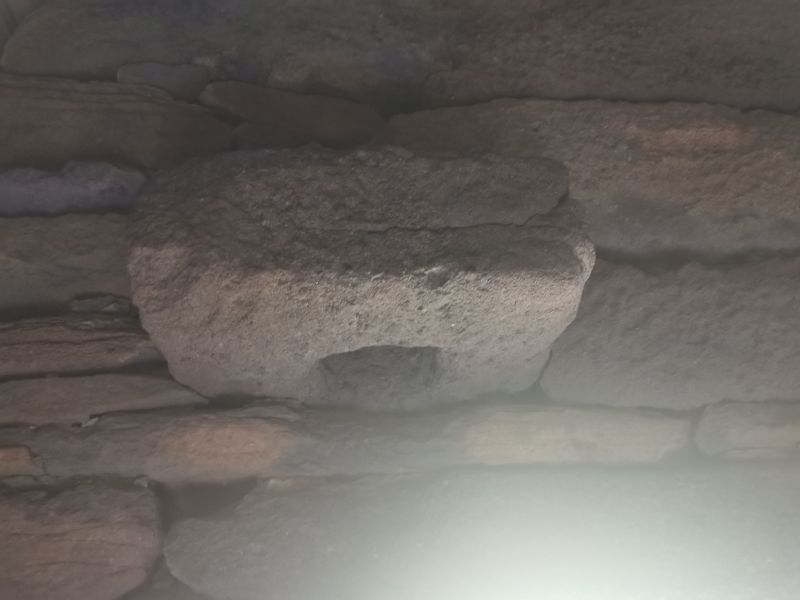
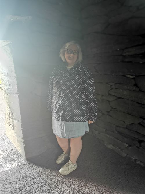
We spent time in and outside of this sacred place, marvelling at the play of light coming through the door and window, observing the headstone outside, which is thought to be a burial space for an unknown person and wandered back to the visitor centre.
Remember to open up the groups of photos to see them fully!
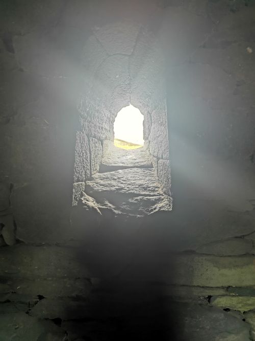
Our ticket into the Gallarus Oratory & Light plays through the window of Gallarus Oratory
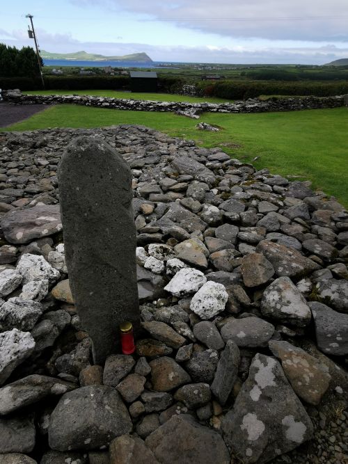
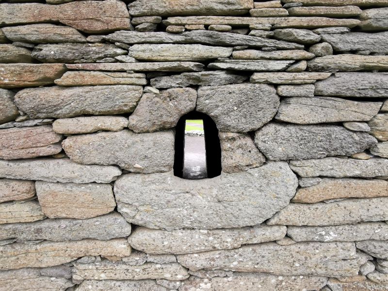
An Ogham stone beside the Gallarus Oratory thought to be a buriel stone overlooking the Smerwick Harbour
Remember to open up the groups of photos to see them fully!
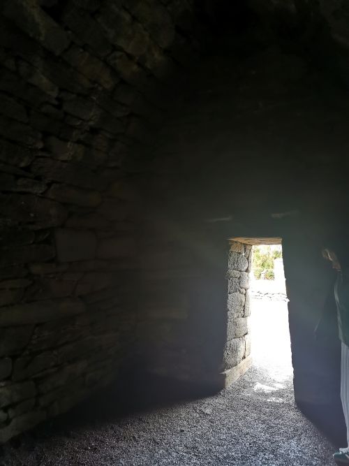
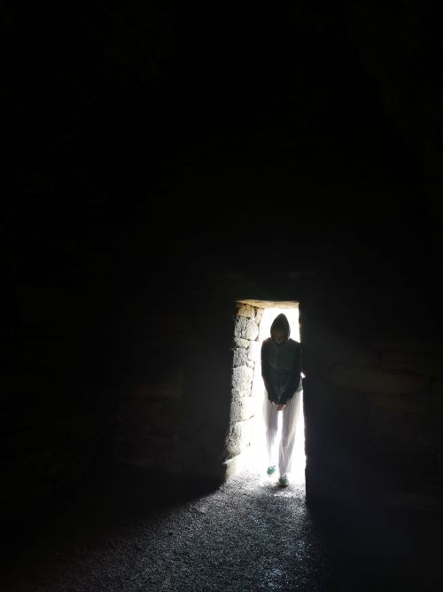
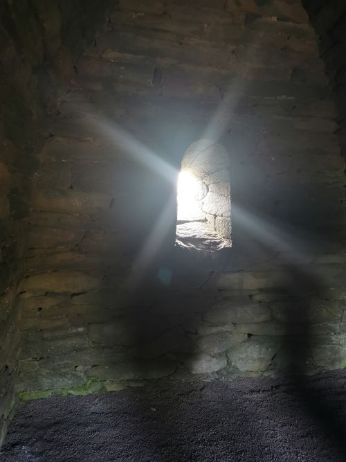
The light play at Gallarus Oratory and leaving the compound
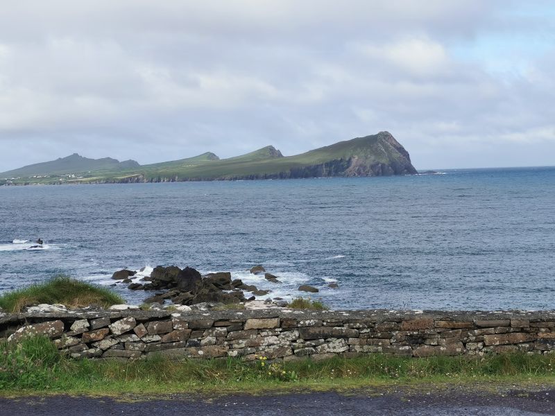
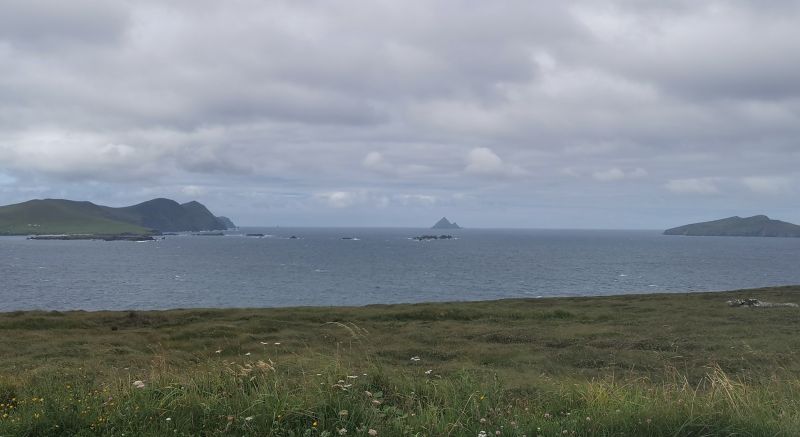
Star Wars, Return of the Jedi & the Blasket Islands
We drove as far south as we could to the coast where the Star Wars, Return of the Jedi was filmed, and viewed the Blasket Islands. (See below)
Due to time, were returned over the hill on the steep, narrow road towards Dingle, arriving alongside the Whiskey Distillery.
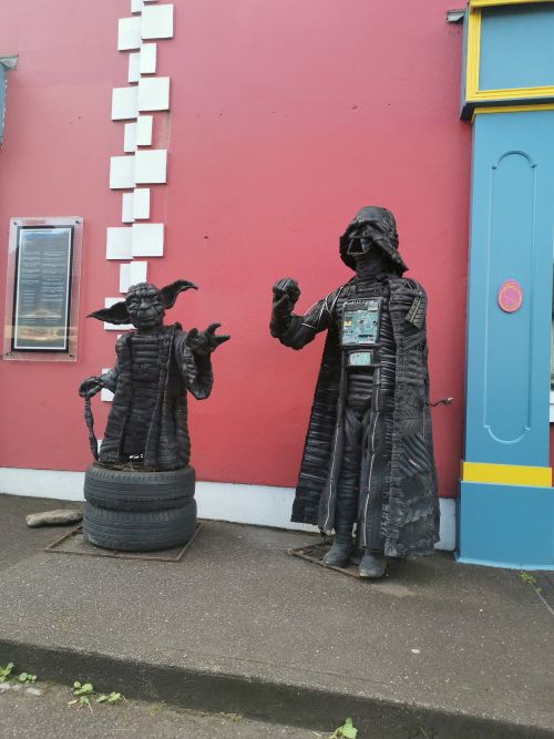
We had planned to stop for lunch in the town, however ended up driving on the south of the peninsula towards the small town of Annascaul where we enjoyed a nice lunch before leaving the main road back to Tralee and driving past the beautiful long golden Inch beach and Castlemaine Harbour on our way to Kerry airport.
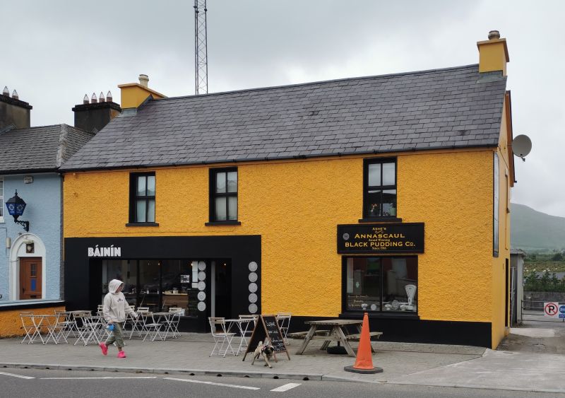
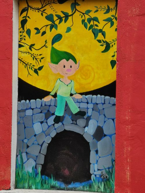
Our lunch stop at Annascaul and some artwork across the street from the cafe
We flew back to England, arriving home to the village in Norfolk, tired but happy with our 8 days on the Wild Atlantic Way. Memories were made from an amazing variety of experiences, but we knew there was so much more we could have seen and done if we had more time to explore. Researching for this series has shown me much of the rich, ancient culture, art and beauty of this Island of our ancestors—called Ireland.
Beautiful travel diary! Makes me want to visit the Irish West Coast again!!
Hey, thanks Robert, yes I have been pulled back …. Ireland awaits me too… it does that to you!!! thankyou for your comments!
Such stunning land scape ….
Mountain, history and culture beautifully scoped.
Another successful travel log Teresa.
Where to next?
Hey, thanks Robyne…. yea such a beautiful place… Next in Ireland will be the Ring of Kerry and Killarney – but more to do in Spain, Germany, UK and Norway first!!! watch this space!!